
Calhoun in McLean County, Kentucky — The American South (East South Central)
County Named
⎯⎯⎯
Calhoun
Photographed by Mark Hilton, September 13, 2018
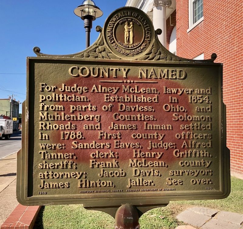
1. County Named Marker
For Judge Alney McLean, lawyer and politician. Established in 1854, from parts of Daviess, Ohio, and Muhlenberg Counties. Solomon Rhoads and James Inman settled in 1788. First county officers were: Sanders Eaves, judge; Alfred Tanner, clerk; Henry Griffith, sheriff; Frank McLean, county attorney; Jacob Davis, surveyor; James Hinton, jailer. See over.
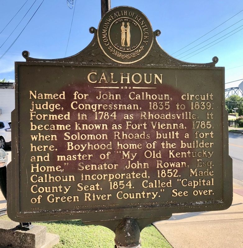
Named for John Calhoun, circuit judge, Congressman, 1835 to 1839. Formed in 1784 as Rhoadsville, it became known as Fort Vienna, 1785, when Solomon Rhoads built a fort here. Boyhood home of the builder and master of "My Old Kentucky Home," Senator John Rowan, Esq. Calhoun incorporated, 1852. Made county seat, 1854. Called "Capital of Green River Country." See over.
Erected 1968 by Kentucky Historical Society, Kentucky Department of Highways. (Marker Number 1123.)
Topics and series. This historical marker is listed in these topic lists: Forts and Castles • Settlements & Settlers. In addition, it is included in the Kentucky Historical Society series list. A significant historical year for this entry is 1854.
Location. 37° 32.239′ N, 87° 15.492′ W.
this page online

Regionally, this marker is in the Tri-State Region and in the Western Coal Field. It is also in the American Midwest, in the South, in the Upper South, and in the Ohio River Valley. Globally, it is in North America, the Western Hemisphere, the Western World, and the Anglosphere. Historically, it finds itself in what was once the territory of the Mississippian Culture and also the Antebellum South.
Other nearby markers. At least 8 other markers are within 8 miles of this marker, measured as the crow flies: Camp Calhoun (approx. 0.2 miles away); Camp Calhoun Cemetery (approx. 0.2 miles away); Corp. James Bethel Gresham Memorial Bridge (approx. half a mile away); Rumsey (approx. half a mile away); McLean County War Memorial (approx. 0.8 miles away);
Photographed by Mark Hilton, September 13, 2018
2. Calhoun Marker
Another marker is no longer nearby. Forrest Reconnoitered (was about 800 feet away, measured in a direct line but has been confirmed missing).
Also see . . . Explore Kentucky history on McLean County. (Submitted on September 20, 2018, by Mark Hilton of Montgomery, Alabama.)
Photographed by Mark Hilton, September 13, 2018
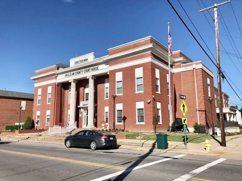
3. County Named / Calhoun Marker just to left of flag pole.
Credits. This page was last revised on September 20, 2018. It was originally submitted on September 20, 2018, by Mark Hilton of Montgomery, Alabama. This page has been viewed 659 times since then and 37 times this year. Photos: 1, 2, 3. submitted on September 20, 2018, by Mark Hilton of Montgomery, Alabama.
