Brooksville in Hernando County, Florida — The American South (South Atlantic)
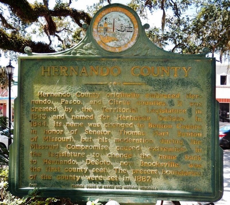
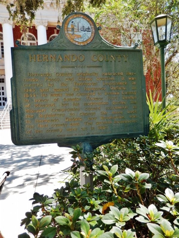
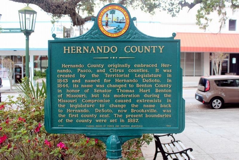
Hernando County
Erected 1962 by Florida Board of Parks and Historic Memorials. (Marker Number F-75.)
Topics. This historical marker is listed in this topic list: Political Subdivisions. A significant historical year for this entry is 1843.
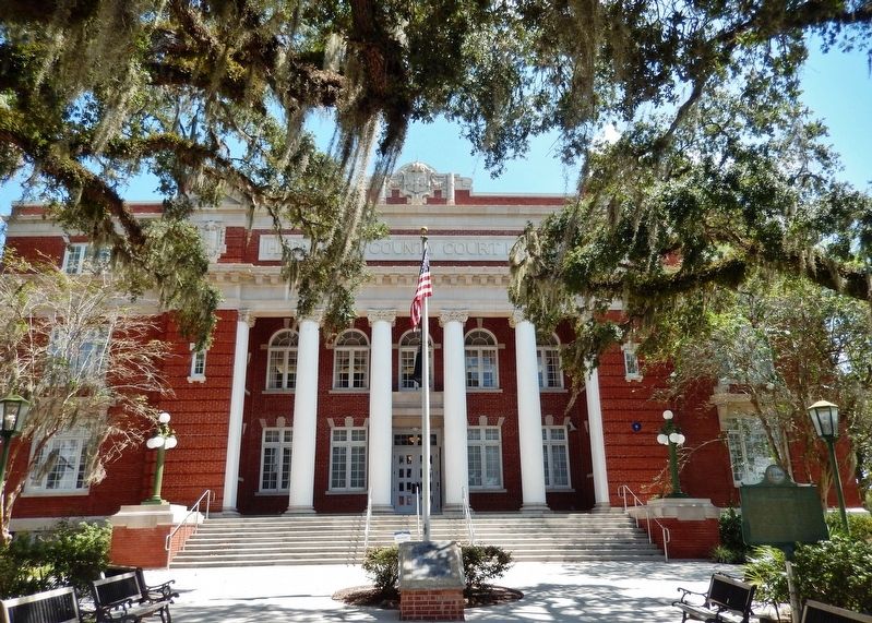
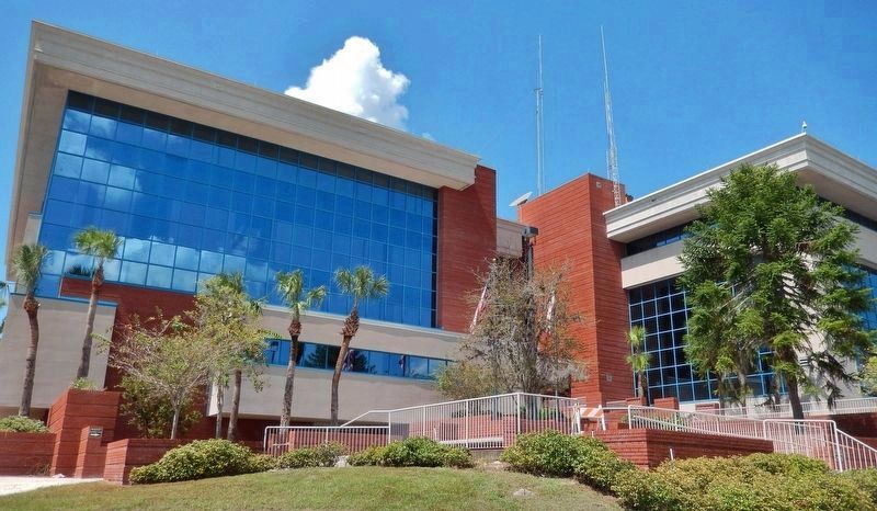
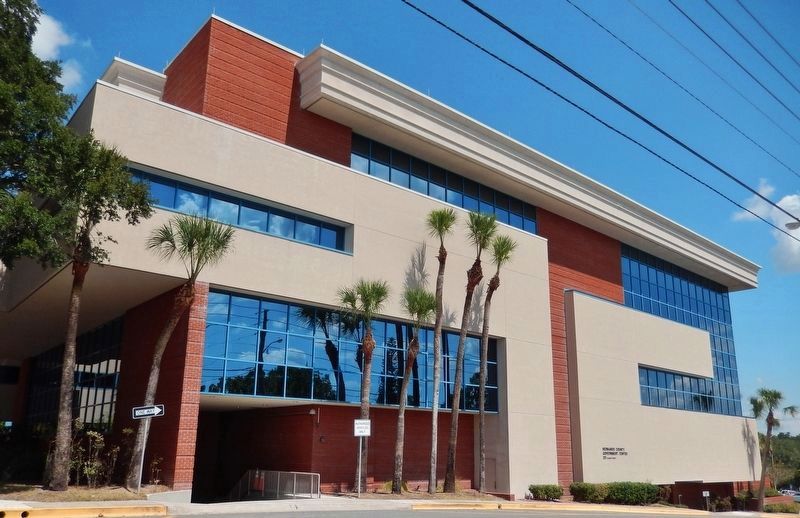
Location. 28° 33.312′ N, 82° 23.261′ W. Marker is in Brooksville, Florida, in Hernando County. Marker is on North Main Street north of Broad Street (U.S. 98), on the right when traveling north. Marker is located on the Hernando County Courthouse grounds, directly in front of the old Courthouse main front entrance on North Main Street. Touch for map. Marker is at or near this postal address: 20 North Main Street, Brooksville FL 34601, United States of America. Touch for directions.
Other nearby markers. At least 8 other markers are within 2 miles of this marker, measured as the crow flies. Hernando County War Memorial (a few steps from this marker); Hernando County Confederate Monument (a few steps from this marker); Hernando County Global War on Terrorism Memorial (within shouting distance of this marker); City of Brooksville (about 500 feet away, measured in a direct line); 1885 Train Depot (approx. 0.4 miles away); Historic Sidewalk (approx. 0.4 miles away); St. Anthony the Abbot Church (approx. 1.3 miles away); Chocochatti (approx. 1.4 miles away). Touch for a list and map of all markers in Brooksville.
More about this marker. Marker is located on the right (south) side of the walkway leading to the courthouse entrance. The marker is somewhat weathered and difficult to read from a distance.
Also see . . . Hernando County History. Hernando County was created in 1843 and named after Hernando DeSoto, whose circuitous voyage to the Mississippi brought him through this area. From 1844 until 1850 it was known as Benton County, after firebrand Missouri Senator Thomas Hart Benton,who sponsored the Armed Occupation Act that allowed the depopulation of most of Florida’s Native Americans. The name was changed back to Hernando, possibly because residents were irked by Benton’s Unionist views. Hernando
residents attended court in Newnansville, Alachua County, for a time, until locating a county seat at “DeSoto.” This was later moved to Bayport, then Pierceville, and finally Brooksville. The name may honor another controversial antebellum politician, South Carolina congressman Preston Brooks, whom history remembers chiefly for having savagely caned abolitionist Charles Sumner on the floor of the Senate. (Submitted on September 20, 2018, by Cosmos Mariner of Cape Canaveral, Florida.)
Credits. This page was last revised on March 19, 2020. It was originally submitted on September 20, 2018, by Cosmos Mariner of Cape Canaveral, Florida. This page has been viewed 349 times since then and 22 times this year. Photos: 1, 2. submitted on September 20, 2018, by Cosmos Mariner of Cape Canaveral, Florida. 3. submitted on March 19, 2020, by Tim Fillmon of Webster, Florida. 4, 5, 6. submitted on September 20, 2018, by Cosmos Mariner of Cape Canaveral, Florida. • Andrew Ruppenstein was the editor who published this page.
