Morganfield in Union County, Kentucky — The American South (East South Central)
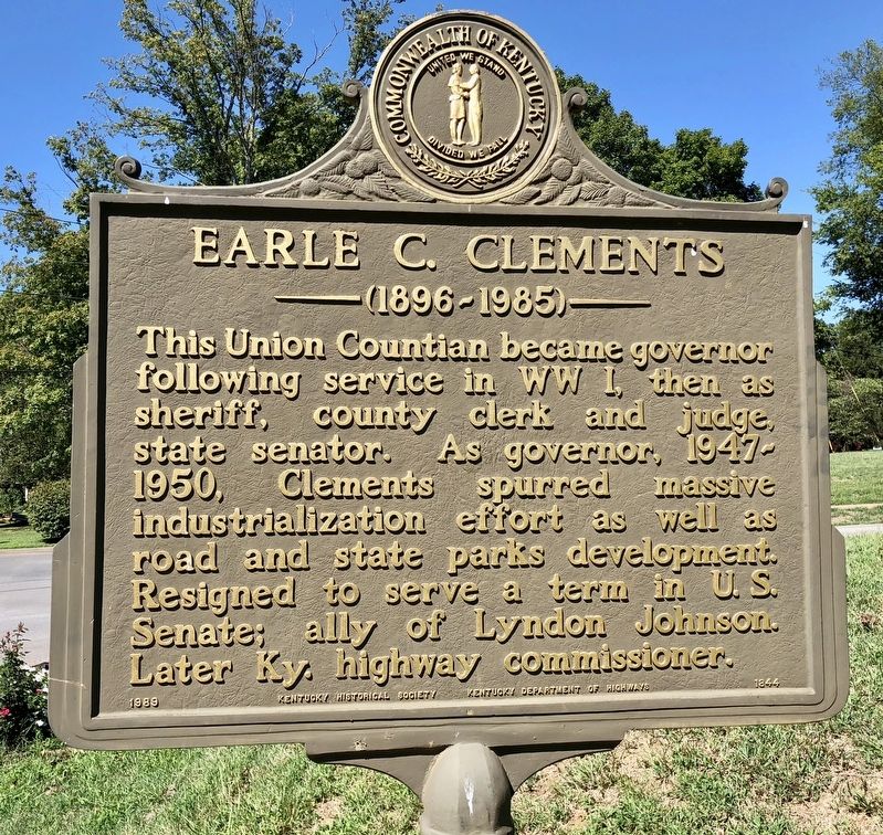
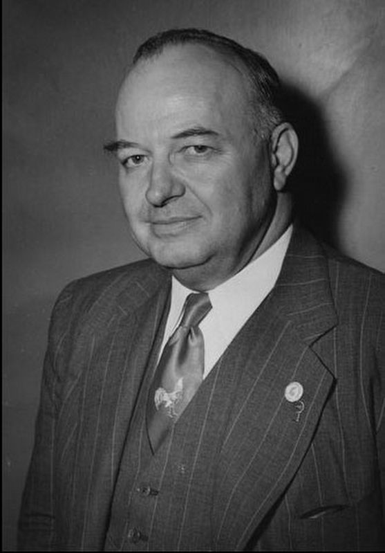
Earle C. Clements
— (1896-1985) —
Erected 1989 by Kentucky Historical Society, Kentucky Department of Highways. (Marker Number 1844.)
Topics and series. This historical marker is listed in these topic lists: Industry & Commerce • War, World I. In addition, it is included in the Former U.S. Presidents: #36 Lyndon B. Johnson, and the Kentucky Historical Society series lists.
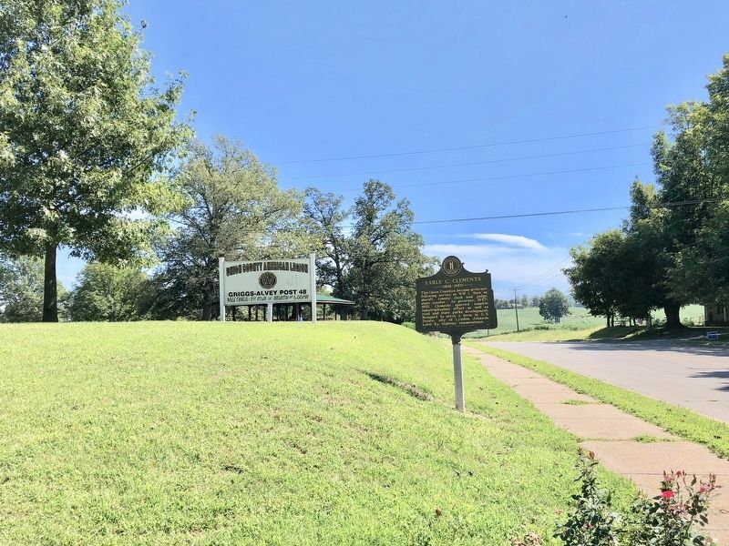
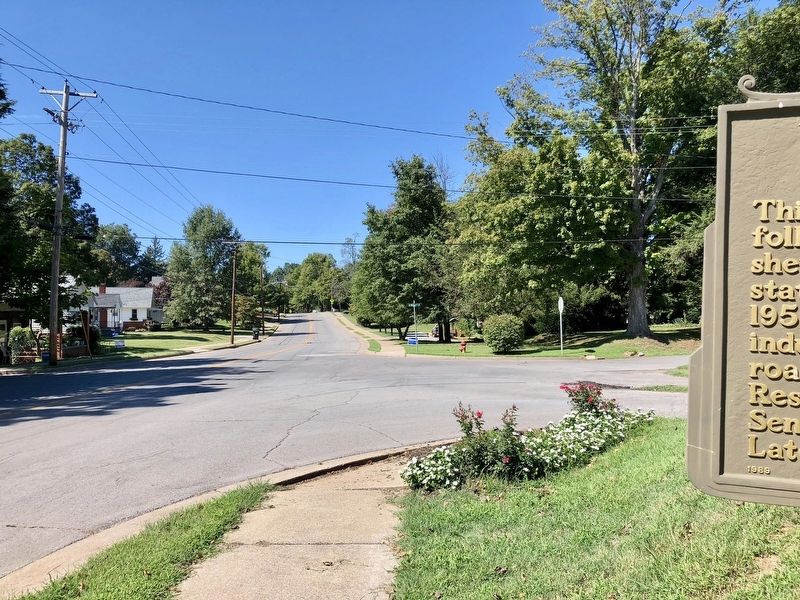
Location. 37° 40.762′ N, 87° 54.645′ W. Marker is in Morganfield, Kentucky, in Union County. Marker is at the intersection of East Main Street (Kentucky Route 56) and Park Street, on the left when traveling east on East Main Street. Located at entrance to Morganfield City Park. Touch for map. Marker is at or near this postal address: 201 Park Street, Morganfield KY 42437, United States of America. Touch for directions.
Other nearby markers. At least 8 other markers are within 5 miles of this marker, measured as the crow flies. George Huston (approx. 0.3 miles away); Morgan Springs (approx. 0.4 miles away); Lincoln Spoke Here (approx. half a mile away); Union County, 1811 (approx. half a mile away); Forrest Reconnoitered (approx. half a mile away); Baseball Great (approx. 2 miles away); Nally Spa (approx. 2.4 miles away); St. Vincent's Academy (approx. 4.4 miles away). Touch for a list and map of all markers in Morganfield.
Also see . . . Wikipedia article on Earle Clements. (Submitted on September 21, 2018, by Mark Hilton of Montgomery, Alabama.)
Credits. This page was last revised on November 20, 2019. It was originally submitted on September 21, 2018, by Mark Hilton of Montgomery, Alabama. This page has been viewed 335 times since then and 26 times this year. Photos: 1, 2, 3, 4. submitted on September 21, 2018, by Mark Hilton of Montgomery, Alabama.


