Near Sula in Ravalli County, Montana — The American West (Mountains)
Survival
Obtaining Vital Food, Supplies and Information
Photographed by Barry Swackhamer, May 11, 2018
1. Survival Marker
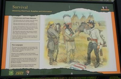
The Salish people gave the strangers many gifts during their brief encounter here at the Great Clearing.
They gave their guests roots, berries, animal furs, and vital information about the trails and tribes to the west.
As many of the Expedition’s horses were exhausted, the Salish also gave them a dozen "ellegant horses," wooden pack saddles, lash chords and three young colts.
The Salish gifts represented a huge amount of manual labor, which was primarily the work of Salish women, over countless days and months.
In return, the Salish graciously accepted two flags, four shirts, four medals, some tobacco, a few small articles, and seven lame horses.
The sound of the Salish language was fascinating to the explorers. Sergeant Whitehouse and Captain Clark said it had a throaty, "gurgling" tone spoken as with a "burr on the tongue."
Because it was a language no one in the Expedition spoke, transactions between the two groups went through five translations.
A Shoshone lad who lived with the Salish was able to translate to Sacajawea, who was also
this page online
Charboneau translated to Labiche in French who then delivered the message to the captains in English.
Erected by U.S. Forest Service, National Park Service, Montana Department of Transportation.
Topics and series. This historical marker is listed in these topic lists: Exploration • Indigenous Peoples and Communities. In addition, it is included in the Lewis & Clark Expedition series list.
Location. 45° 50.172′ N, 113° 58.782′ W. Marker is near Sula, Montana, in Ravalli County. It is on U.S. 93 near East Fork Road (State Highway 472), on the left when traveling south. Touch for map. Marker is at or near this postal address: 7060 U.S Highway 93, Sula MT 59871, United States of America. Touch for directions.

Regionally, this marker is in Western Montana, in Glacier Country, and in Greater Missoula. It is also in the American Mountain West and in the Lewis & Clark Corridor. Globally, it is in North America, the Rocky Mountains, the Western Hemisphere, the Western World, and
Photographed by Barry Swackhamer, May 11, 2018
2. Survival Marker
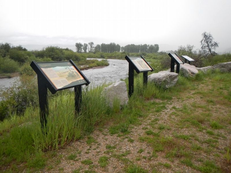
marker 2nd from the left
Other nearby markers. At least 8 other markers are within 10 miles of this marker, measured as the crow flies: Mountains on the Move (here, next to this marker); First Impressions (here, next to this marker); The Great Clearing (a few steps from this marker); Join the Voyage of Discovery (a few steps from this marker); Ross' Hole (about 300 feet away, measured in a direct line); Lewis and Clark at Ross' Hole (about 300 feet away); Big Horn Sheep Conservation (approx. 2.3 miles away); Salmon River Scenic Byway (approx. 10 miles away). Touch for a list and map of all markers in Sula.
Also see . . . The Interpreters. Discover Lewis and Clark website entry (Submitted on October 7, 2024, by Larry Gertner of New York, New York.)
Credits. This page was last revised on October 7, 2024. It was originally submitted on September 22, 2018, by Barry Swackhamer of Brentwood, California. This page has been viewed 516 times since then and 26 times this year. Photos: 1, 2. submitted on September 22, 2018, by Barry Swackhamer of Brentwood, California.
