Gonzales in Gonzales County, Texas — The American South (West South Central)
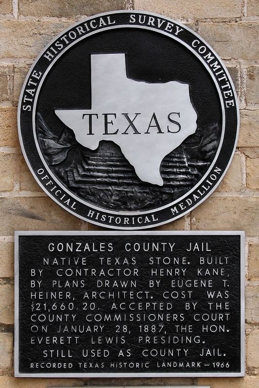
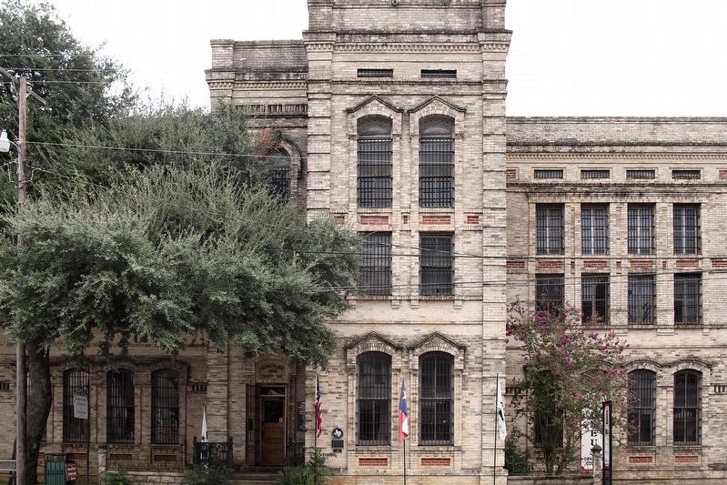
Gonzales County Jail
Still used as county jail.
Erected 1966 by State Historical Survey Committee. (Marker Number 2218.)
Topics. This historical marker is listed in this topic list: Law Enforcement. A significant historical date for this entry is January 28, 1887.
Location. 29° 30.091′ N, 97° 27.129′ W. Marker is in Gonzales, Texas, in Gonzales County. Marker is at the intersection of St. Lawrence Street and St. Paul Street, on the right when traveling east on St. Lawrence Street. Touch for map. Marker is at or near this postal address: 414 St Lawrence Street, Gonzales TX 78629, United States of America. Touch for directions.
Other nearby markers. At least 8 other markers are within walking distance of this marker. Central Square (within shouting distance of this marker); Gonzales Courthouse (within shouting distance of this marker); James W. Robinson (within shouting distance of this marker); First Methodist Church (within shouting distance of this marker); From Segregation to Integration (about 300 feet away, measured in a direct line); Segregation in Gonzales: Edwards High School (about 300 feet away); Historic Gonzales Churches and Cemetery (about 300 feet away); Juneteenth - A Day of Freedom and Jubilee (about 300 feet away). Touch for a list and map of all markers in Gonzales.
Credits. This page was last revised on September 28, 2018. It was originally submitted on September 22, 2018, by Larry D. Moore of Del Valle, Texas. This page has been viewed 220 times since then and 16 times this year. Photos: 1, 2. submitted on September 22, 2018, by Larry D. Moore of Del Valle, Texas. • Andrew Ruppenstein was the editor who published this page.

