Near Cadiz in Trigg County, Kentucky — The American South (East South Central)
First Court of Trigg County
Photographed by Mark Hilton, September 12, 2018
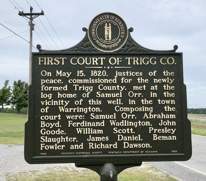
1. First Court of Trigg County Marker
On May 15, 1820, justices of the peace, commissioned for the newly formed Trigg County, met at the log home of Samuel Orr, in the vicinity of this well, in town of Warrington. Composing the court were: Samuel Orr, Abraham Boyd, Ferdinand Wadlington, John Goode, William Scott, Presley Slaughter, James Daniel, Beman Fowler and Richard Dawson.
Erected 1988 by the Kentucky Historical Society Kentucky Department of Highways. (Marker Number 1838.)
Topics and series. This historical marker is listed in these topic lists: Government & Politics • Notable Places. In addition, it is included in the Kentucky Historical Society series list. A significant historical date for this entry is May 15, 1820.
Location. 36° 49.383′ N, 87° 52.392′ W. Marker is near Cadiz, Kentucky, in Trigg County. It is on Canton Road 0.3 miles Blue Spring Road (Kentucky Route 1489), on the right when traveling south. Touch for map. Marker is at or near this postal address: Canton Road, Cadiz KY 42211, United States of America. Touch for directions.

Regionally, this marker is in the American Midwest, in the South, and specifically in the Upper South. Globally, it is in North America, the Western Hemisphere, the Western World, and the Anglosphere. Historically, it finds itself in what was once the territory of the Mississippian Culture and also the Antebellum South.
Other nearby markers. At least 8 other markers are within 4 miles of this marker,
this page online
Photographed by Mark Hilton, September 12, 2018
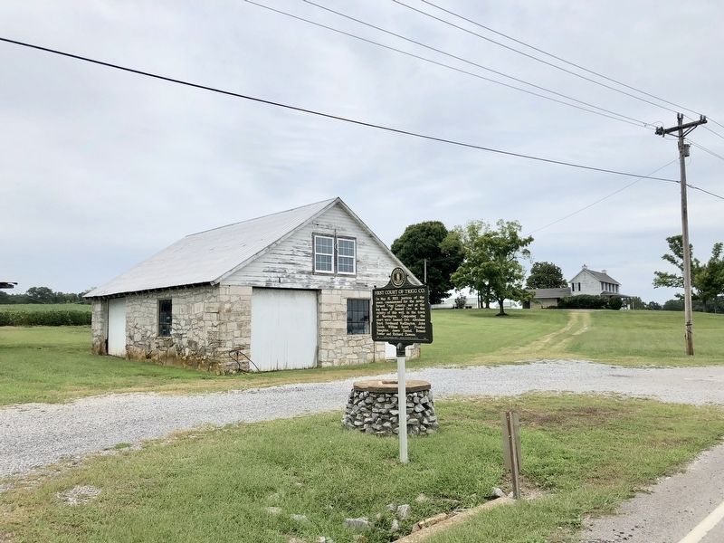
2. Former location of the First Court of Trigg County.
Photographed by Mark Hilton, September 12, 2018
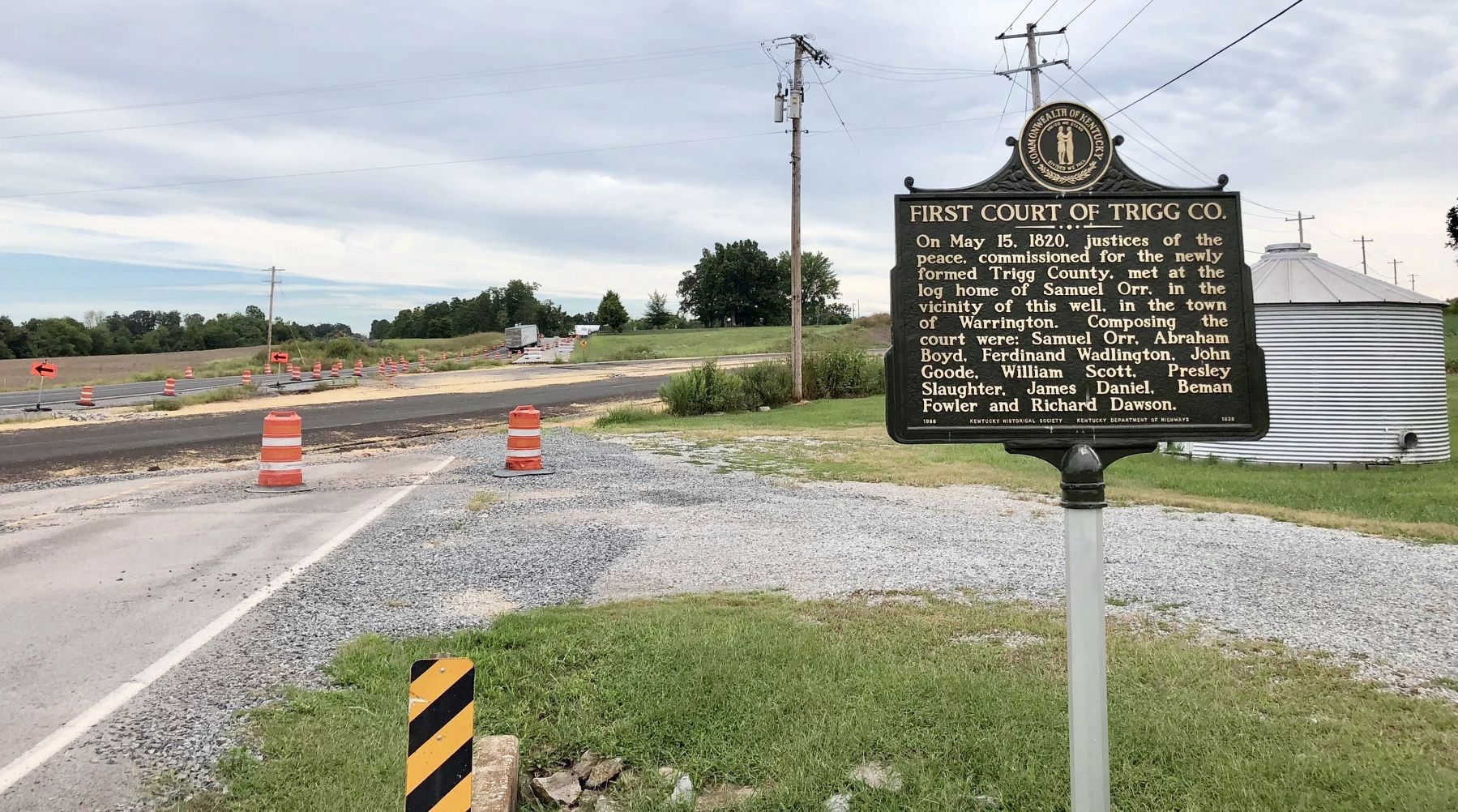
3. Looking south towards the new realignment of U.S. Highway 68.
Credits. This page was last revised on February 13, 2025. It was originally submitted on September 22, 2018, by Mark Hilton of Montgomery, Alabama. This page has been viewed 855 times since then and 307 times this year. Photos: 1, 2, 3. submitted on September 22, 2018, by Mark Hilton of Montgomery, Alabama.
