Near Weyers Cave in Augusta County, Virginia — The American South (Mid-Atlantic)
Rockingham County
Area 876 square miles
⎯⎯⎯
Augusta County
Area 1006 square miles
Photographed by J. J. Prats, September 24, 2008
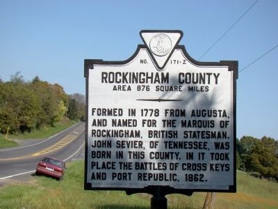
1. Rockingham County face of Marker
Rockingham County. Area 876 square miles. Formed in 1778 from Augusta, and named for the Marquis of Rockingham, British statesman. John Seiver, of Tennessee, was born in this county. In it took place the battles of Cross Keys and Port Republic, 1862.
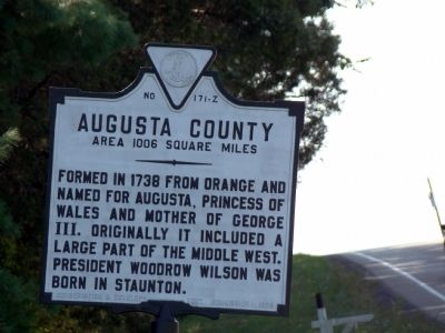
Augusta County. Area 1006 square miles. Formed in 1738 from Orange and named for Augusta, Princess of Wales and mother of George III. Originally it included a large part of the Middle West. President Woodrow Wilson was born in Staunton.
Erected 1929 by Conservation and Development Commission. (Marker Number Z-171.)
Topics and series. This historical marker is listed in this topic list: Political Subdivisions. In addition, it is included in the Former U.S. Presidents: #28 Woodrow Wilson, and the Virginia Department of Historic Resources (DHR) series lists. A significant historical year for this entry is 1778.
Location. 38° 18.967′ N, 78° 56.172′ W. Marker is near Weyers Cave, Virginia, in Augusta County. It is on Lee Highway (U.S. 11) south of Summit Church Road, on the left when traveling south. Touch for map. Marker is in this post office area: Weyers Cave VA 24486,
this page online

Regionally, this marker is in the Shenandoah Valley. It is also in the American South and specifically in the Upper South. Globally, it is in North America, the Western Hemisphere, the Western World, and the Anglosphere. Historically, it finds itself in what was once the territory of the Mississippian Culture, one of the original Thirteen Colonies, one of the Confederate States of America, and the Antebellum South.
Other nearby markers. At least 8 other markers are within 5 miles of this marker, measured as the crow flies: Contentment (approx. 1.8 miles away); Sheridan's Last Raid (approx. 2.2 miles away); Bridgewater College (approx. 3.4 miles away); Future Farmers of America (approx. 3.7 miles away); Salem Evangelical Lutheran Church (approx. 3.7 miles away); The Alexander Mack Memorial Library (approx. 4.7 miles away); The Litten Water Gardens at Edgebriar Park (approx. 5 miles away); Bridgewater (approx. 5 miles away).
Photographed by J. J. Prats, September 24, 2008
2. Augusta County Face of Marker
Photographed by J. J. Prats, September 24, 2008
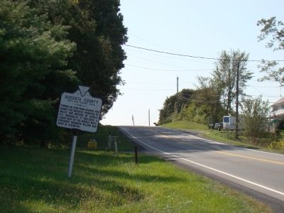
3. View Towards Augusta County
Photographed by J. J. Prats, September 24, 2008
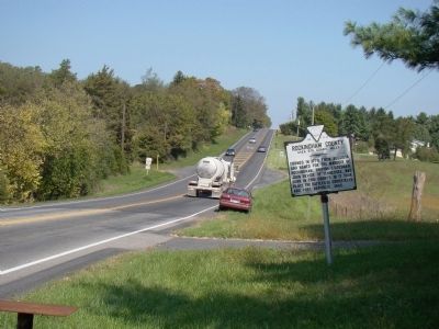
4. View Towards Rockingham County
Credits. This page was last revised on December 5, 2024. It was originally submitted on October 11, 2008, by J. J. Prats of Powell, Ohio. This page has been viewed 1,323 times since then and 63 times this year. Photos: 1, 2, 3, 4. submitted on October 11, 2008, by J. J. Prats of Powell, Ohio.
