Cottonwood Heights in Salt Lake County, Utah — The American Mountains (Southwest)
Mining
Big Cottonwood Canyon Trail
Photographed by Andrew Johnson, September 22, 2018
1. Mining Marker
Inscription.
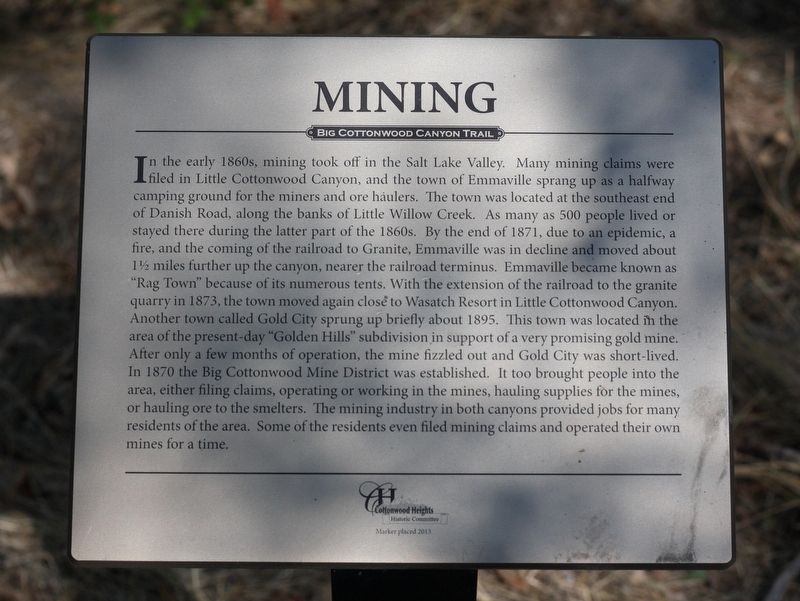
Mining. Big Cottonwood Canyon Trail. In the early 1860s, mining took off in the Salt Lake Valley. Many mining claims were filed in Little Cottonwood Canyon, and the town of Emmaville sprang up as a halfway camping ground for the miners and ore haulers. The town was located at the southeast end of Danish Road, along the banks of Little Willow Creek. As many as 500 people lived or stayed there during the latter part of the 1860s. By the end of 1871, due to an epidemic, a fire, and the coming of the railroad to Granite, Emmaville was in decline and moved about 1½ miles further up the canyon, nearer the railroad terminus. Emmaville became known as “Rag Town” because of its numerous tents. With the extension of the railroad to the granite quarry in 1873, the town moved again close to Wasatch Resort in Little Cottonwood Canyon. Another town called Gold City sprung up briefly about 1895. This town was located in the area of the present-day “Golden Hills” subdivision in support of a very promising gold mine. After only a few months of operation, the mine fizzled out and Gold City was short-lived. In 1870 the Big Cottonwood Mine District was established. It too brought people into the area, either filing claims, operating or working in the mines, hauling supplies for the mines, or hauling ore to the smelters. The mining industry in both canyons provided jobs for many residents of the area. Some of the residents even filed mining claims and operated their own mines for a time.
In the early 1860s, mining took off in the Salt Lake Valley. Many mining claims were filed in Little Cottonwood Canyon, and the town of Emmaville sprang up as a halfway camping ground for the miners and ore haulers. The town was located at the southeast end of Danish Road, along the banks of Little Willow Creek. As many as 500 people lived or stayed there during the latter part of the 1860s. By the end of 1871, due to an epidemic, a fire, and the coming of the railroad to Granite, Emmaville was in decline and moved about 1½ miles further up the canyon, nearer the railroad terminus. Emmaville became known as “Rag Town” because of its numerous tents. With the extension of the railroad to the granite quarry in 1873, the town moved again close to Wasatch Resort in Little Cottonwood Canyon. Another town called Gold City sprung up briefly about 1895. This town was located in the area of the present-day “Golden Hills” subdivision in support of a very promising gold mine. After only a few months of operation, the mine fizzled out and Gold City was short-lived. In 1870 the Big Cottonwood Mine District
Click or scan to see this page online
was established. It too brought people into the area, either filing claims, operating or working in the mines, hauling supplies for the mines, or hauling ore to the smelters. The mining industry in both canyons provided jobs for many residents of the area. Some of the residents even filed mining claims and operated their own mines for a time.
Erected 2013 by Cottonwood Heights Historic Committee.
Topics. This historical marker is listed in this topic list: Industry & Commerce.
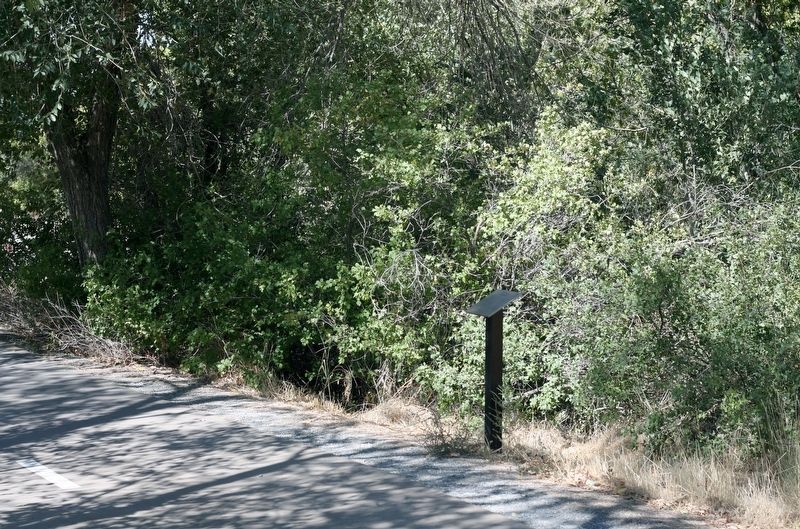
Location. 40° 37.743′ N, 111° 48.137′ W. Marker is in Cottonwood Heights, Utah, in Salt Lake County. It can be reached from Big Cottonwood Canyon Road, on the right when traveling east. The marker is on the Old Mill Bike Path approximately 100 feet east of the parking lot at Old Mill Park. Touch for map. Marker is in this post office area: Salt Lake City UT 84121, United States of America. Touch for directions.
Regionally, this marker is in the Wasatch Front and in Greater Salt Lake. It is also in the American Mountain West and in Colorado Plateau. Globally, it is in North America, the Rocky Mountains,
Photographed by Andrew Johnson, September 22, 2018
2. Mining Marker
the Western Hemisphere, the Western World, and the Anglosphere. Historically, it finds itself in what was once New Spain and also Mexico’s Alta California.
Credits. This page was last revised on September 27, 2018. It was originally submitted on September 23, 2018, by Andrew Johnson of Salt Lake City, Utah. This page has been viewed 736 times since then and 34 times this year. Photos:1, 2. submitted on September 23, 2018, by Andrew Johnson of Salt Lake City, Utah. • Syd Whittle was the editor who published this page.