Marker Logo
THE HISTORICAL
MARKER DATABASE
“Bite-Size Bits of Local, National, and Global History”
Cottonwood Heights in Salt Lake County, Utah — The American Mountains (Southwest)
 

Tithing House

Big Cottonwood Canyon Trail
 
 
Tithing House Marker image. Click for full size.
Photographed by Andrew Johnson, September 22, 2018
1. Tithing House Marker
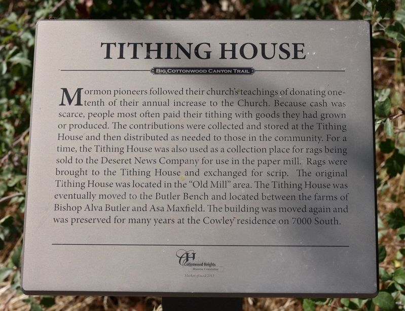
Inscription. Mormon pioneers followed their church's teachings of donating one-tenth of their annual increase to the Church. Because cash was scarce, people most often paid their tithing with goods they had grown or produced. The contributions were collected and stored at the Tithing House and then distributed as needed to those in the community. For a time, the Tithing House was also used as a collection place for rags being sold to the Deseret News Company for use in the paper mill. Rags were brought to the Tithing House and exchanged for scrip. The original Tithing House was located in the “Old Mill” area. The Tithing House was eventually moved to the Butler Bench and located between the farms of Bishop Alva Butler and Asa Maxfield. The building was moved again and was preserved for many years at the Cowley residence on 7000 South.
 
Erected 2013 by Cottonwood Heights Historic Committee.
 
Topics. This historical marker is listed in these topic lists: Charity & Public WorkReligion & Religious StructuresSettlements & Settlers.
 
Location. 40° 37.717′ N, 111° 48.116′ W.
Paid Advertisement
Click or scan to see
this page online
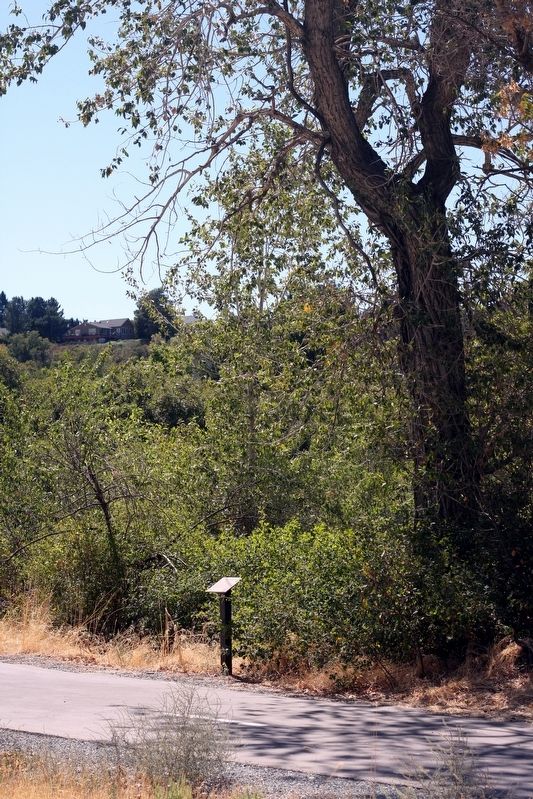
Marker is in Cottonwood Heights, Utah, in Salt Lake County. It can be reached from Big Cottonwood Canyon Road, on the right when traveling east. The marker is on the Old Mill Bike Path approximately 300 feet southeast of the parking lot at Old Mill Park. Touch for map. Marker is in this post office area: Salt Lake City UT 84121, United States of America. Touch for directions.

Regionally, this marker is in the Wasatch Front and in Greater Salt Lake. It is also in the American Mountain West and in Colorado Plateau. Globally, it is in North America, the Rocky Mountains, the Western Hemisphere, the Western World, and the Anglosphere. Historically, it finds itself in what was once New Spain and also Mexico’s Alta California.

Other nearby markers. At least 8 other markers are within walking distance of this marker: Silica Beds (within shouting distance of this marker); Mining (within shouting distance of this marker); Granite-Butler Church (about 300 feet away, measured in a direct line); Ern and Molly Green Cabin (about 400 feet away); Cedar Tree (about 600 feet away); South Butler School (approx. 0.2 miles away); Agriculture
Tithing House Marker image. Click for full size.
Photographed by Andrew Johnson, September 22, 2018
2. Tithing House Marker
(approx. 0.2 miles away); Welcome to the Cottonwood Heights Historic Walk (approx. Ό mile away). Touch for a list and map of all markers in Cottonwood Heights.
 
 
Credits. This page was last revised on September 27, 2018. It was originally submitted on September 23, 2018, by Andrew Johnson of Salt Lake City, Utah. This page has been viewed 557 times since then and 21 times this year. Photos:   1, 2. submitted on September 23, 2018, by Andrew Johnson of Salt Lake City, Utah. • Syd Whittle was the editor who published this page.

m=123708

CeraNet Cloud Computing sponsors the Historical Marker Database.
This website earns income from purchases you make after using our links to Amazon.com. We appreciate your support.
Paid Advertisement
Jul. 13, 2026
