Richmond in Macomb County, Michigan — The American Midwest (Great Lakes)
Sanford Stone / Weller House
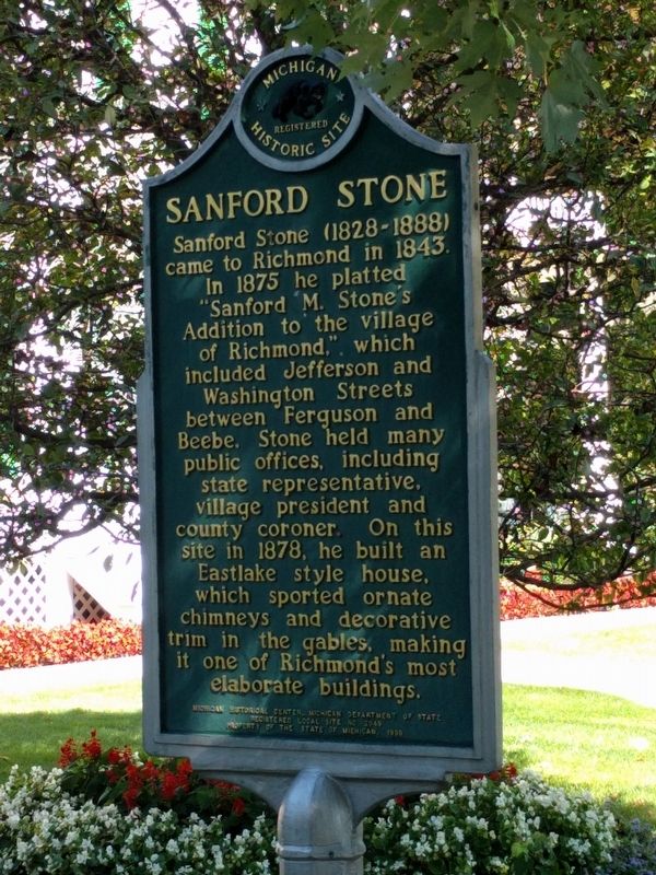
Sanford Stone
Sanford Stone (1828-1888) came to Richmond in 1843. In 1875 he platted "Sanford M. Stone's Addition to the village of Richmond," which included Jefferson and Washington Streets between Ferguson and Beebe. Stone held many public offices, including state representative, village president and county coroner. On this site in 1878, he built an Eastlake style house, which sported ornate chimneys and decorative trim in the gables, making it one of Richmond's most ornate buildings.
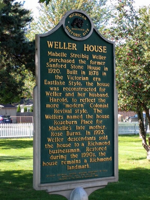
Weller House
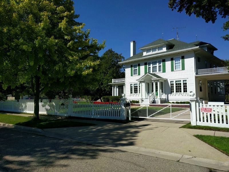
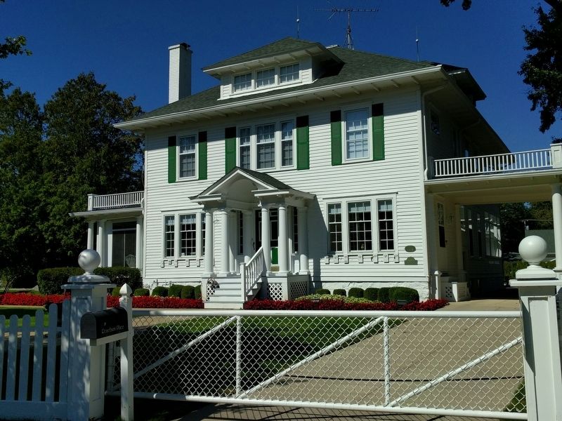
Mabelle Streibig Weller purchased the former Sanford Stone House in 1920. Built in 1878 in the Victorian era Eastlake Style, the house was reconstructed for Weller and her husband, Harold, to reflect the more "modern" Colonial Revival style. The Wellers named the house Roseburn Place for Mabelle's late mother, Rose Burns. In 1993, Weller descendants sold the house to a Richmond businessman. Restored during the 1990s, the house remains a Richmond landmark.
Erected 1999 by Michigan Historical Center, Michigan Department of State. (Marker Number L2049.)
Topics and series. This historical marker is listed in these topic lists: Architecture • Settlements & Settlers . In addition, it is included in the Michigan Historical Commission series list. A significant historical year for this entry is 1843.
Location. 42° 48.869′ N, 82° 45.368′ W. Marker is in Richmond, Michigan, in Macomb County. Marker is at the intersection of Washington Street and Stone Street, on the left when traveling east on Washington Street. Touch for map. Marker is at or near this postal address: 36035 Washington Street, Richmond MI 48062, United States of America. Touch for directions.
Other nearby markers. At least 8 other markers are within 9 miles of this marker, measured as the crow flies. John Donley Farm (about 500 feet away, measured in a direct line); Steam Engines--A Brief History (approx. 0.2 miles away); Richmond Center for the Performing Arts (approx. 0.2 miles away); Richmond Veterans Memorial (approx. 0.7 miles away); Richmond Civil War Memorial (approx. ¾ mile away); "The Thing" (approx. 5.7 miles away); Walter C. Wetzel State Recreation Area (approx. 6.4 miles away); Crawford Settlement Burying Ground (approx. 8.7 miles away). Touch for a list and map of all markers in Richmond.
Credits. This page was last revised on November 23, 2019. It was originally submitted on September 24, 2018, by Joel Seewald of Madison Heights, Michigan. This page has been viewed 917 times since then and 465 times this year. Photos: 1, 2, 3, 4. submitted on September 24, 2018, by Joel Seewald of Madison Heights, Michigan.


