
Axminster in Devon, England, United Kingdom — Northwestern Europe (the British Isles)
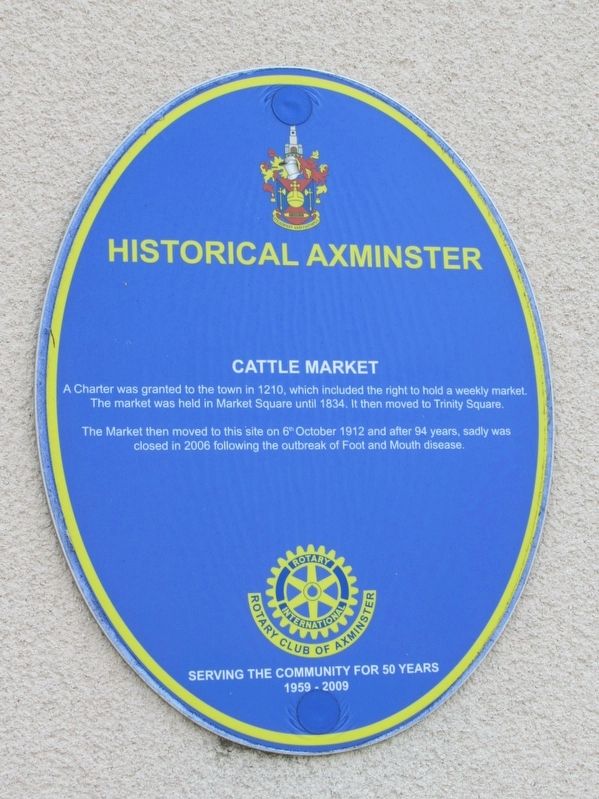
Cattle Market
Photographed by Michael Herrick, August 3, 2018
1. Cattle Market Marker
Cattle Market
Serving the Community for 50 Years
1959 - 2009
Topics and series. This historical marker is listed in this topic list: Industry & Commerce. In addition, it is included in the Rotary International series list.
Location. 50° 46.839′ N, 2° 59.885′ W. Marker is in Axminster, England, in Devon. It is at the intersection of Musbury Road and Church Street, on the right when traveling north on Musbury Road. Located on the Frank Rowe House. Touch for map. Marker is in this post office area: Axminster, England EX13 5LZ, United Kingdom. Touch for directions.

Regionally, this marker is in South West England. Globally, it is on the Atlantic Ocean, in the North Atlantic Region, in Europe,
this page online
Other nearby markers. At least 8 other markers are within 3 kilometers of this marker, measured as the crow flies: Law Chambers (about 90 meters away, measured in a direct line); Rose Cottage (about 90 meters away); Abbeyfield (about 90 meters away); The Old Carpet Factory (about 90 meters away); Axminster War Memorial (about 150 meters away); Jubilee of Queen Victoria (about 180 meters away); The Trafalgar Way (about 210 meters away); a different marker also named The Trafalgar Way (approx. 2.4 kilometers away). Touch for a list and map of all markers in Axminster.
Photographed by Michael Herrick, August 3, 2018
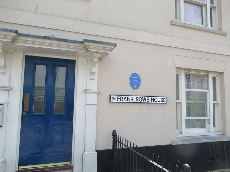
2. Cattle Market Marker
Photographed by Michael Herrick, August 3, 2018
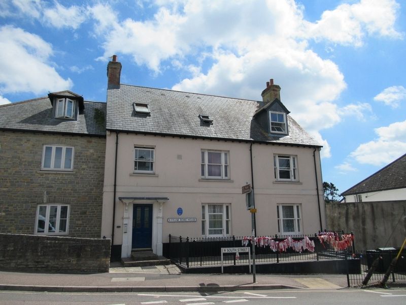
3. Cattle Market Marker on the Frank Rowe House
Credits. This page was last revised on January 27, 2022. It was originally submitted on September 24, 2018, by Michael Herrick of Southbury, Connecticut. This page has been viewed 382 times since then and 31 times this year. Photos: 1, 2, 3. submitted on September 24, 2018, by Michael Herrick of Southbury, Connecticut.
