Syracuse in Davis County, Utah — The American Mountains (Southwest)
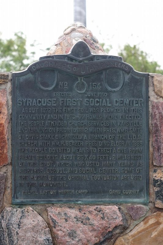
Syracuse First Social Center
Rachel Layton Warren Camp
Davis County
Erected 1950 by Daughters of Utah Pioneers. (Marker Number 154.)
Topics and series. This historical marker is listed in these topic lists: Churches & Religion • Settlements & Settlers. In addition, it is included in the Daughters of Utah Pioneers series list. A significant historical year for this entry is 1872.
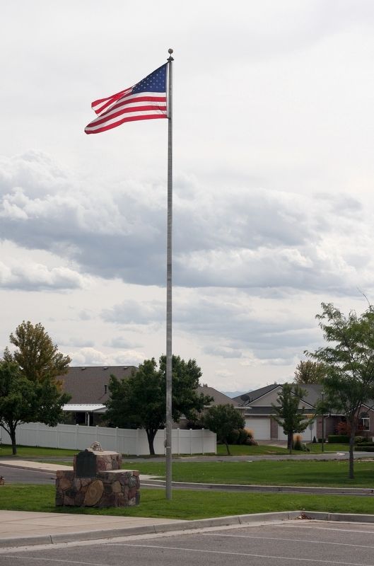
Location. 41° 5.298′ N, 112° 3.749′ W. Marker is in Syracuse, Utah, in Davis County. Marker is on 1700 South, on the right when traveling east. Touch for map. Marker is at or near this postal address: 1891 W 1700 S, Syracuse UT 84075, United States of America. Touch for directions.
Other nearby markers. At least 8 other markers are within 3 miles of this marker, measured as the crow flies. Historical Wilcox Cabin (here, next to this marker); The Old Emigrant Road (approx. 0.8 miles away); Walker Brothers Store (approx. 1.7 miles away); First School House (approx. 2.1 miles away); Hensley / Salt Lake Cutoff-Bluff Road (approx. 2.7 miles away); Antelope Island (approx. 3 miles away); Antelope Island Causeway (approx. 3 miles away); Great Salt Lake (approx. 3 miles away). Touch for a list and map of all markers in Syracuse.
Credits. This page was last revised on September 28, 2018. It was originally submitted on September 24, 2018, by Andrew Johnson of Salt Lake City, Utah. This page has been viewed 217 times since then and 20 times this year. Photos: 1, 2. submitted on September 24, 2018, by Andrew Johnson of Salt Lake City, Utah. • Andrew Ruppenstein was the editor who published this page.

