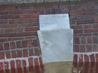
Fort Mifflin in Philadelphia in Philadelphia County, Pennsylvania — The American Northeast (Mid-Atlantic)
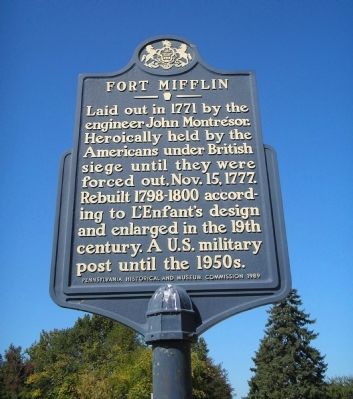
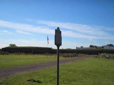
Fort Mifflin
Erected 1989 by Pennsylvania Historical and Museum Commission.
Topics and series. This historical marker is listed in these topic lists: Forts and Castles • Military • War, US Revolutionary. In addition, it is included in the Battlefield Trails - Revolutionary War, the National Historic Landmarks, and the Pennsylvania Historical and Museum Commission series lists. A significant historical month for this entry is October 1915.
Location. 39° 52.589′ N, 75° 12.733′ W. Marker is in Philadelphia, Pennsylvania, in Philadelphia County. It is in Fort Mifflin. Marker is on W Fort Mifflin Road, on the right when traveling east. Touch for map. Marker is at or near this postal address: 1 Fort Mifflin Road, Philadelphia PA 19153, United States of America. Touch for directions.
Other nearby markers. At least 8 other markers are within walking distance of this marker. From Marsh to Solid Ground (within shouting distance of this marker); Hospital & Mess Hall (within shouting distance of this marker); Fort Mifflin (Mud Fort) on Mud Island (within shouting distance of this marker); Artillery (about 300 feet away, measured in a direct line); Quartermaster’s Store (about 400 feet away); Casemates or Bombproofs (about 400 feet away); Soldiers’ Barracks (about 400 feet away); Doretta A. McMunn (about 400 feet away). Touch for a list and map of all markers in Philadelphia.
Related markers. Click here for a list of markers that are related to this marker. This series of markers follow the walking tour of Fort Mifflin.
Also see . . .
1. The Fort that saved America. The Official Website of Fort Mifflin on the Delaware (Submitted on October 11, 2008, by Bill Coughlin of Woodland Park, New Jersey.)
2. The Siege of Fort Mifflin. The Philadelphia Campaign, 1777. (Submitted on October 11, 2008, by Bill Coughlin of Woodland Park, New Jersey.)
3. Fort Mifflin Groundplan. Layout of Fort Mifflin, the Fort that saved America. (Submitted on October 13, 2008, by Bill Coughlin of Woodland Park, New Jersey.)
4. Fort Mifflin - Behind the Marker. ExplorePAHistory.com (Submitted on July 21, 2011, by Mike Wintermantel of Pittsburgh, Pennsylvania.)
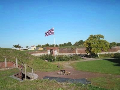
Photographed By Bill Coughlin, October 11, 2008
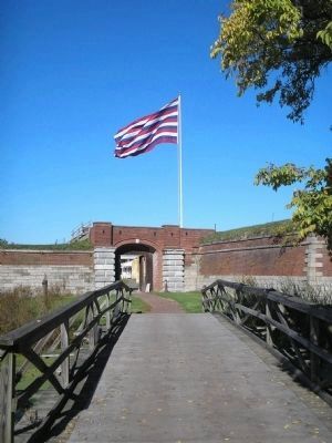
4. Fort Mifflin on the Delaware River
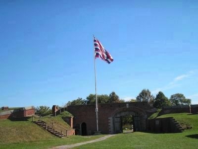
The British took the American capital in Philadelphia in the fall of 1777, but the American occupation of Fort Mifflin prevented the British from resupplying the city. A siege and artillery assault finally forced the Americans to abandon the fort on November 15.
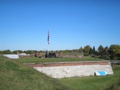
Photographed By Bill Coughlin, October 11, 2008
5. Fort Mifflin
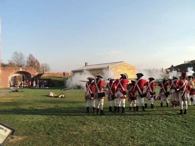
American troops withstood a siege and naval bombardment from November 10 through 15, 1777 before being forced to abandon Fort Mifflin. They held out long enough, however, to allow Gen. George Washington to safely remove his army to Valley Forge.
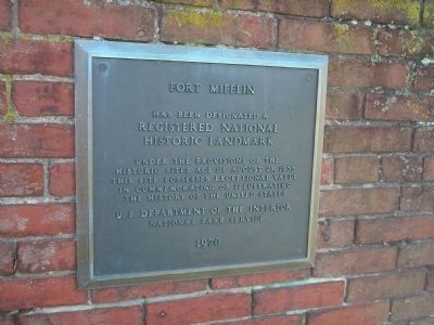
Photographed By Bill Coughlin, October 11, 2008
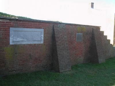
6. Fort Mifflin National Historic Landmark Marker
has been designated a
Registered National
Historic Landmark
Under the provisions of the
Historic Sites Act of August 21, 1935
this site possesses exceptional value
in commemorating and illustrating
the history of the United States
U.S. Department of the Interior
National Park Service
1970
Credits. This page was last revised on February 2, 2024. It was originally submitted on October 11, 2008, by Bill Coughlin of Woodland Park, New Jersey. This page has been viewed 1,873 times since then and 33 times this year. It was the Marker of the Week October 23, 2011. Photos: 1, 2, 3, 4, 5, 6, 7, 8. submitted on October 11, 2008, by Bill Coughlin of Woodland Park, New Jersey. 9. submitted on November 10, 2013, by Bill Coughlin of Woodland Park, New Jersey. 10, 11, 12. submitted on October 11, 2008, by Bill Coughlin of Woodland Park, New Jersey.
