
Princeton in Caldwell County, Kentucky — The American South (East South Central)
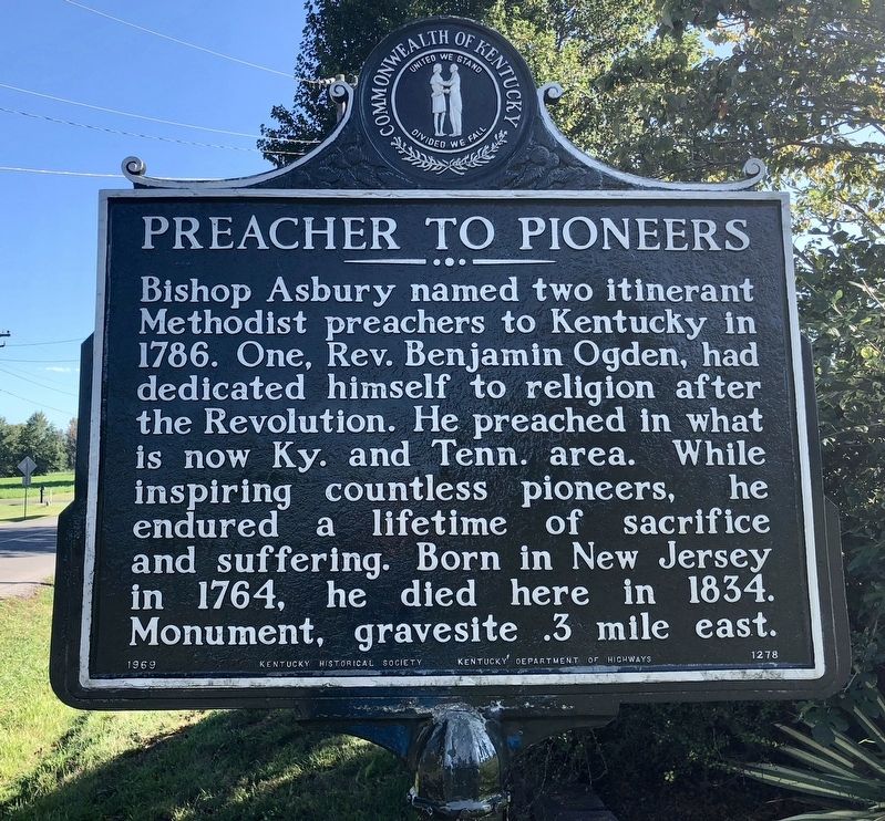
Preacher to Pioneers
Photographed by Mark Hilton, September 13, 2018
1. Preacher to Pioneers Marker
Erected 1969 by the Kentucky Historical Society, Kentucky Department of Highways. (Marker Number 1278.)
Topics and series. This historical marker is listed in these topic lists: Government & Politics • Religion & Religious Structures. In addition, it is included in the Kentucky Historical Society series list. A significant historical year for this entry is 1786.
Location. 37° 4.922′ N, 87° 54.083′ W. Marker is in Princeton, Kentucky, in Caldwell County. It is at the intersection of South Jefferson Street (Kentucky Route 293) and Dogwood Lane, on the right on South Jefferson Street. Touch for map. Marker is at or near this postal address: South Jefferson Street, Princeton KY 42445, United States of America. Touch for directions.

Regionally, this
this page online
Other nearby markers. At least 8 other markers are within 3 miles of this marker, measured as the crow flies: Trail of Tears (approx. 2.1 miles away); Shandy Hall (Princeton) (approx. 2.1 miles away); Ogden Memorial United Methodist Church (approx. 2.1 miles away); a different marker also named Shandy Hall (Princeton) (approx. 2.1 miles away); Princeton First Baptist Church (approx. 2.1 miles away); Historic Educational Site (approx. 2.1 miles away); William Prince (approx. 2.1 miles away); Black Patch War (approx. 2.1 miles away). Touch for a list and map of all markers in Princeton.
Another marker is no longer nearby. Converging of Indian Trails (was approx. 2.1 miles away but has been confirmed missing).
Regarding Preacher to Pioneers. Cemetery is located between between 204 & 208 Dogwood Lane.
Photographed by Mark Hilton, September 13, 2018
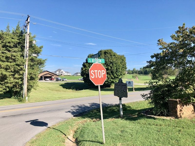
2. Preacher to Pioneers Marker looking towards downtown Princeton.
Photographed by Mark Hilton, September 13, 2018
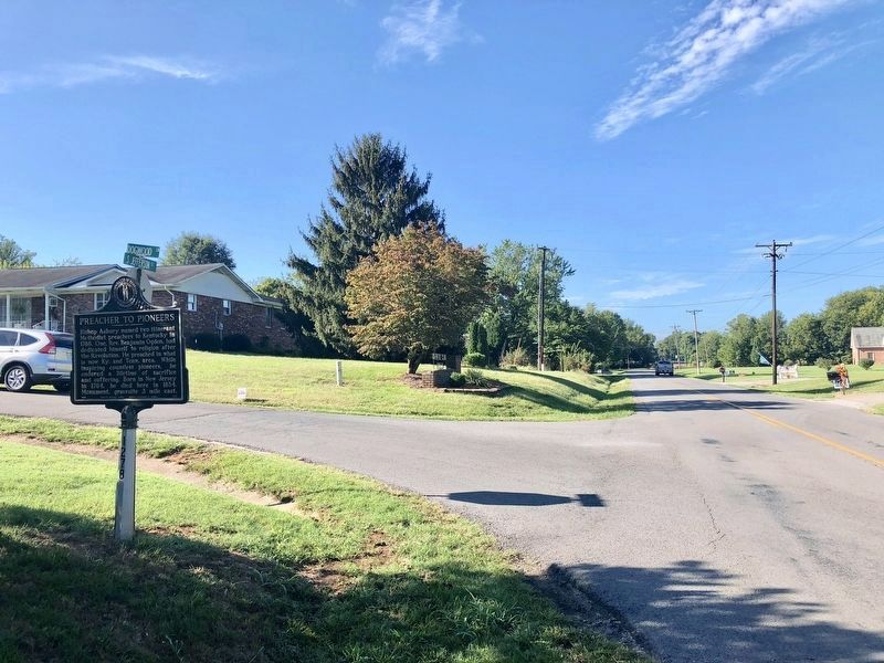
3. Looking south westerly on Jefferson Street.
Credits. This page was last revised on September 25, 2018. It was originally submitted on September 25, 2018, by Mark Hilton of Montgomery, Alabama. This page has been viewed 545 times since then and 9 times this year. Photos: 1, 2, 3. submitted on September 25, 2018, by Mark Hilton of Montgomery, Alabama.
