Plymouth, England, United Kingdom — Northwestern Europe (the British Isles)
Ships’ Cannon
Photographed by Michael Herrick, August 4, 2018
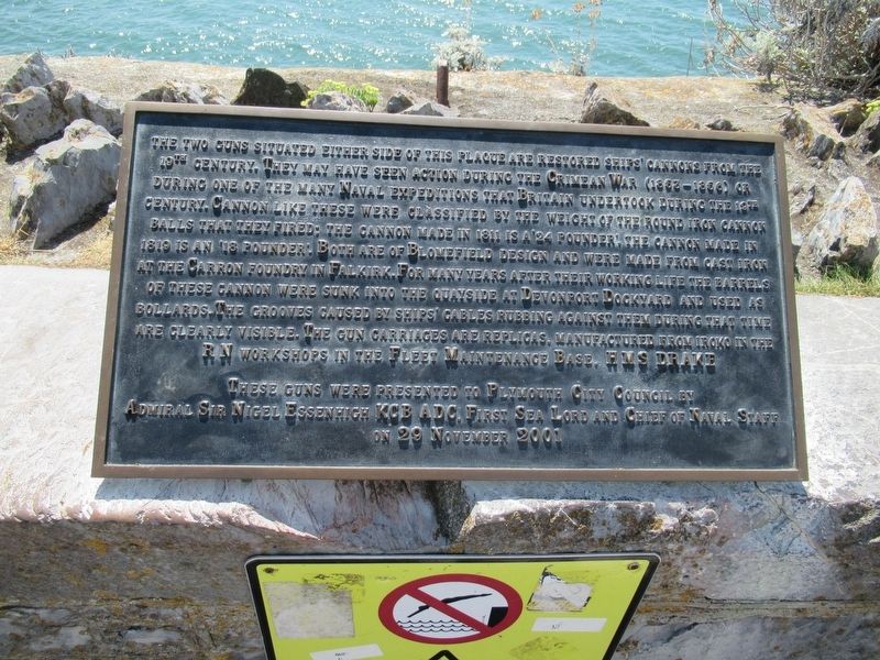
1. Ships’ Cannon Marker
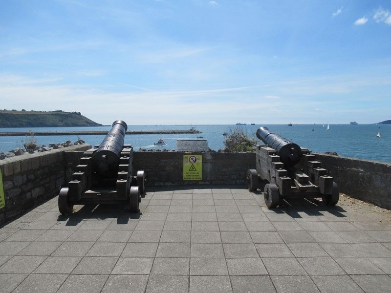
The two guns situated either side of this plaque are restored ships’ cannons from the 19th century. They may have seen action during the Crimean War (1853 – 1856) or during one of the many Naval expeditions that Britain undertook during the 19th century. Cannons like these were classified by the weight of the round iron cannon balls that they fired; the cannon made in 1811 is a 24 pounder. The cannon made in 1819 is an 18 pounder. Both are of Blomefield design and were made from cast iron at the Carron foundry in Falkirk. For many years after their working life the barrels of these cannon were sunk into the quayside at Devonport Dockyard and used as Bollards. The grooves caused by ships’ cables rubbing against them during that time are clearly visible. The gun carriages are replicas, manufactured from iroko in the RN workshops in the Fleet Maintenance Base, HMS Drake
Admiral Sir Nigel Essenhigh KCB ADC, First Sea Lord and Chief of Naval Staff
on 29 November 2001
Topics. This historical marker is listed in this topic list: Military.
Location. 50° 21.788′ N,
this page online

Regionally, this marker is in South West England. Globally, it is on the Atlantic Ocean, in the North Atlantic Region, in Europe, in Atlantic Europe, on one of the British Isles, in the Western World, and in the Anglosphere. Historically, it finds itself in what was once the Roman Empire.
Other nearby markers. At least 8 other markers are within walking distance of this marker: 1815 - 2015 (about 180 meters away, measured in a direct line); Napoleon Bonaparte in Plymouth Sound (about 180 meters away); Way of Saint James (about 180 meters away); 10 Squadron Royal Australian Air Force Memorial (approx. 0.3 kilometers away); Plymouth Men Who Helped to Found Modern Australia (approx. 0.3 kilometers away); Admiral Horatio Lord Nelson Memorial (approx. 0.3 kilometers away); From Plymouth on 13th March 1787, Sailed the Transport Ships 'Friendship' and 'Charlotte'
Photographed by Michael Herrick, August 4, 2018
2. Ships’ Cannon Marker
Credits. This page was last revised on January 27, 2022. It was originally submitted on September 26, 2018, by Michael Herrick of Southbury, Connecticut. This page has been viewed 1,311 times since then and 229 times this year. Photos: 1, 2. submitted on September 26, 2018, by Michael Herrick of Southbury, Connecticut.
