Plymouth, England, United Kingdom — Northwestern Europe (the British Isles)
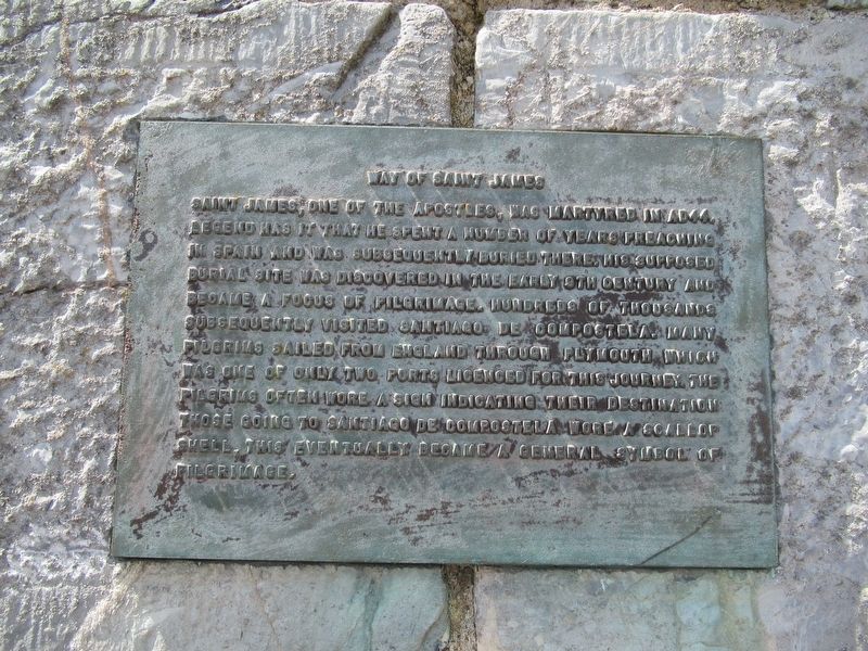
Way of Saint James
Photographed by Michael Herrick, August 4, 2018
1. Way of Saint James Marker
Topics. This historical marker is listed in this topic list: Religion & Religious Structures.
Location. 50° 21.891′ N, 4° 8.081′ W. Marker is in Plymouth, England. It is at the intersection of Commercial Road and Lambhay Hill, on the right when traveling south on Commercial Road. Touch for map. Marker is in this post office area: Plymouth, England PL1 2NR, United Kingdom. Touch for directions.

Regionally, this marker is in South West England. Globally,
this page online
Other nearby markers. At least 8 other markers are within walking distance of this marker: 10 Squadron Royal Australian Air Force Memorial (within shouting distance of this marker); Plymouth Men Who Helped to Found Modern Australia (about 120 meters away, measured in a direct line); Admiral Horatio Lord Nelson Memorial (about 120 meters away); From Plymouth on 13th March 1787, Sailed the Transport Ships 'Friendship' and 'Charlotte' (about 120 meters away); Cornish Emigration Point (about 120 meters away); Settlement of New Plymouth (about 120 meters away); Departure of the ‘Tory’ (about 150 meters away); Pilgrims Point - The Mayflower Steps (about 150 meters away). Touch for a list and map of all markers in Plymouth.
Photographed by Michael Herrick, August 4, 2018
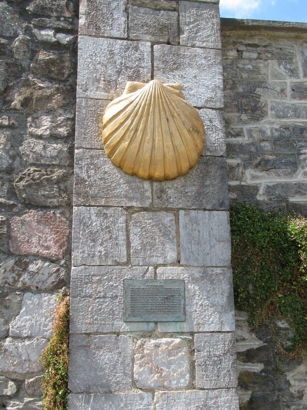
2. Way of Saint James Marker
Photographed by Michael Herrick, August 4, 2018
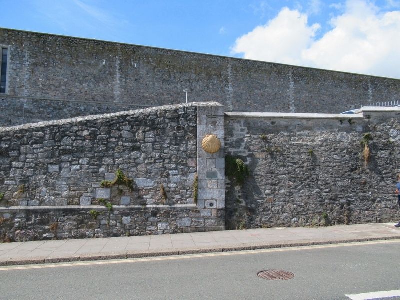
3. Way of Saint James Marker
Credits. This page was last revised on January 27, 2022. It was originally submitted on September 26, 2018, by Michael Herrick of Southbury, Connecticut. This page has been viewed 382 times since then and 38 times this year. Photos: 1, 2, 3. submitted on September 26, 2018, by Michael Herrick of Southbury, Connecticut.
