
Princeton in Caldwell County, Kentucky — The American South (East South Central)
William Prince, 1752-1810
⎯⎯⎯
Founder of Princeton
Photographed by Mark Hilton, September 13, 2018
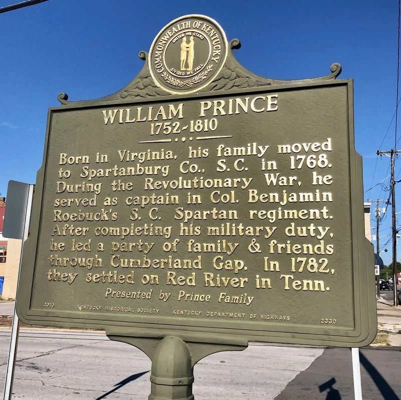
1. William Prince, 1752-1810 Marker
1752-1810
Born in Virginia, his family moved to Spartanburg Co., S.C. in 1768. During the Revolutionary War, he served as captain in Col. Benjamin Roebuck’s S.C. Spartan regiment. After completing his military duty, he led a party of family & friends through Cumberland Gap. In 1782, they settled on Red River in Tenn.
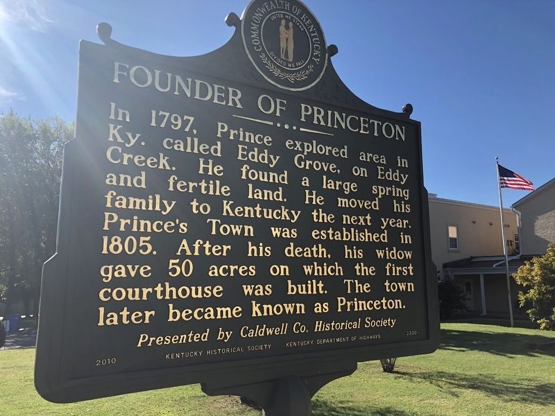
In 1797, Prince explored area in Ky. called Eddy Grove, on Eddy Creek. He found a large spring and fertile land. He moved his family to Kentucky the next year. Prince’s Town was established in 1805. After his death, his widow gave 50 acres on which the first courthouse was built. The town later became known as Princeton.
Erected 2010 by the Kentucky Historical Society, Kentucky Department of Highways. (Marker Number 2330.)
Topics and series. This historical marker is listed in these topic lists: Settlements & Settlers • War, US Revolutionary. In addition, it is included in the Kentucky Historical Society series list. A significant historical year for this entry is 1768.
Location. 37° 6.526′ N, 87° 52.833′ W.
this page online

Regionally, this marker is in the American Midwest, in the South, and specifically in the Upper South. Globally, it is in North America, the Western Hemisphere, the Western World, and the Anglosphere. Historically, it finds itself in what was once the territory of the Mississippian Culture and also the Antebellum South.
Other nearby markers. At least 8 other markers are within walking distance of this marker: Shandy Hall (Princeton) (within shouting distance of this marker); a different marker also named William Prince (within shouting distance of this marker); County Named, 1809 (about 300 feet away, measured in a direct line); Courthouse Burned (about 500 feet away); a different marker also named Shandy Hall (Princeton) (about 500 feet away); Trail of Tears (about 500 feet away); Black Patch War
Photographed by Mark Hilton, September 13, 2018
2. Founder of Princeton Marker
Another marker is no longer nearby. Converging of Indian Trails (was about 500 feet away but has been confirmed missing).
Photographed by Mark Hilton, September 13, 2018
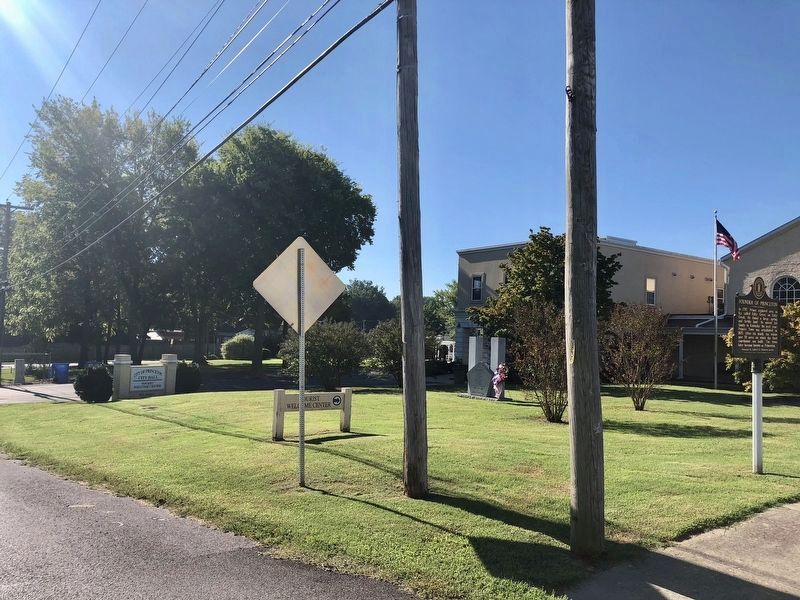
3. Marker (on right) located at the City Hall & Tourism Center building.
Credits. This page was last revised on November 19, 2019. It was originally submitted on September 26, 2018, by Mark Hilton of Montgomery, Alabama. This page has been viewed 952 times since then and 40 times this year. Photos: 1, 2, 3. submitted on September 26, 2018, by Mark Hilton of Montgomery, Alabama.
