Elba in Cassia County, Idaho — The American West (Mountains)
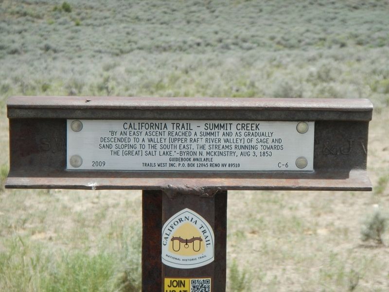
California Trail - Summit Creek
Guidebook Available
Trails West Inc. P.O. Box 12045, Reno NV 89510
Erected 2009 by Trails West Inc. (Marker Number C-6.)
Topics and series. This historical marker is listed in these topic lists: Roads & Vehicles • Settlements & Settlers. In addition, it is included in the California Trail, and the Trails West Inc. series lists. A significant historical date for this entry is August 3, 1850.
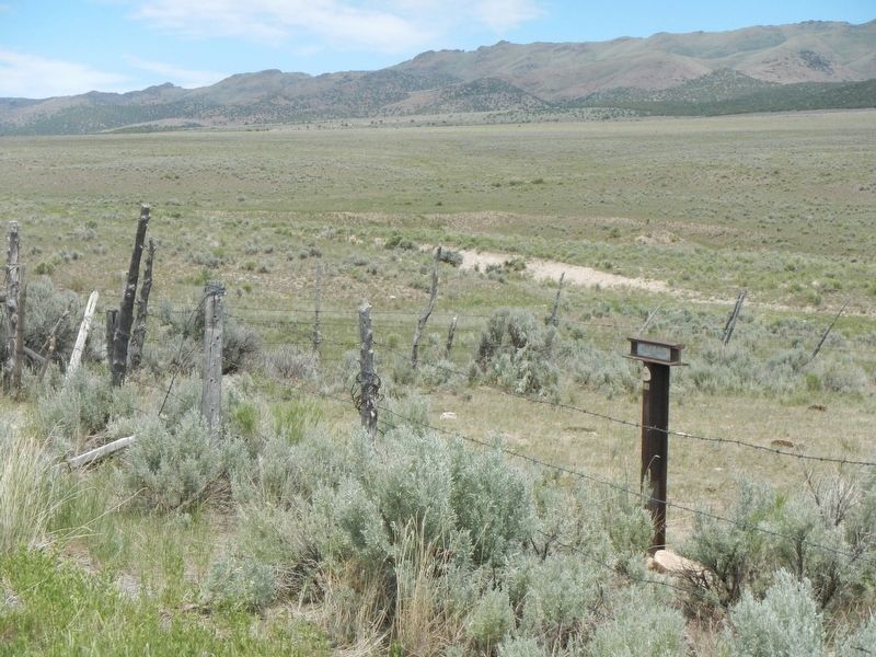
Location. 42° 9.918′ N, 113° 34.158′ W. Marker is in Elba, Idaho, in Cassia County. Marker is on Elba-Almo Highway (at milepost 7) near Forest Road 708, on the left when traveling south. Touch for map. Marker is in this post office area: Malta ID 83342, United States of America. Touch for directions.
Other nearby markers. At least 8 other markers are within 9 miles of this marker, measured as the crow flies. California Trail (a few steps from this marker); California Trail - Leaving Cassia Creek (approx. 5.8 miles away); Horrible Indian Massacre (approx. 5.8 miles away); Camped... (approx. 6 miles away); Replica Wagon (approx. 6 miles away); California Trail - Nearing City of Rocks (approx. 6.4 miles away); Distant Views (approx. 8.9 miles away); Fading Away (approx. 8.9 miles away). Touch for a list and map of all markers in Elba.
More about this marker. I recommend the use of Trails West Inc's A Guide to the California Trail: To the Humboldt River when following this portion of the California Trail.
Credits. This page was last revised on September 27, 2018. It was originally submitted on September 27, 2018, by Barry Swackhamer of Brentwood, California. This page has been viewed 179 times since then and 15 times this year. Photos: 1, 2. submitted on September 27, 2018, by Barry Swackhamer of Brentwood, California.

