Near Sugar Grove in Pendleton County, West Virginia — The American South (Appalachia)
“The Wilfong Church” / St. Michaels Lutheran Church
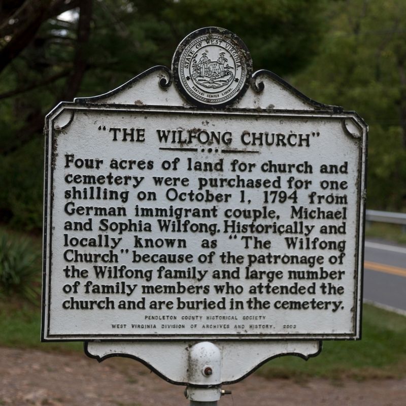
“The Wilfong Church.” Four acres of land for church and cemetery were purchased for one shilling on October 1, 1794 from German immigrant couple, Michael and Sophia Wilfong. Historically and locally known as “The Wilfong Church” because of the patronage of the Wilfong family and large number of family members who attended the church and are buried in the cemetery.
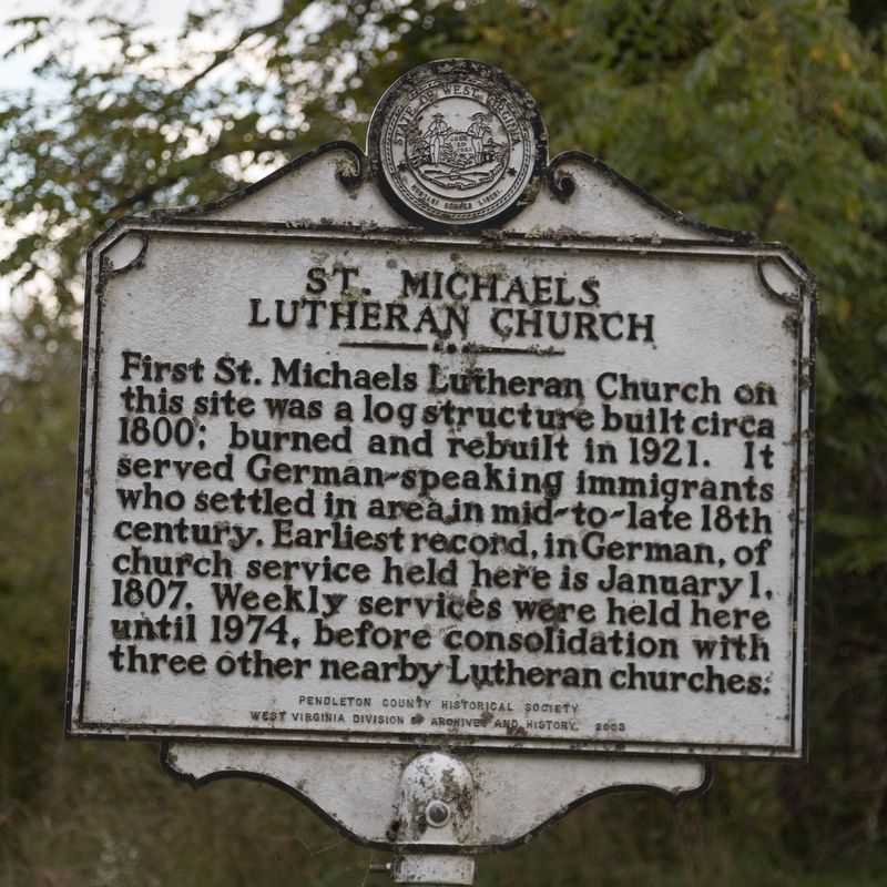
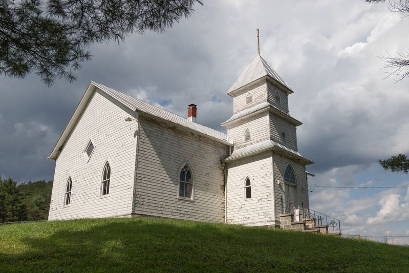
St. Michaels Lutheran Church. First St. Michaels Lutheran Church on this site was a log structure built circa 1800; burned and rebuilt in 1921. It served German speaking immigrants who settled in area in mid-to-late 18th century. Earliest record,in German, of church service held here is January 1, 1807. Weekly services were held here until 1974, before consolidation with three other nearby Lutheran churches.
Erected 2003 by Pendelton County Historical Society and the West Virginia Division of Archives and History.
Topics and series. This historical marker is listed in these topic lists: Churches & Religion • Settlements & Settlers. In addition, it is included in the West Virginia Archives and History series list. A significant historical date for this entry is January 1, 1807.
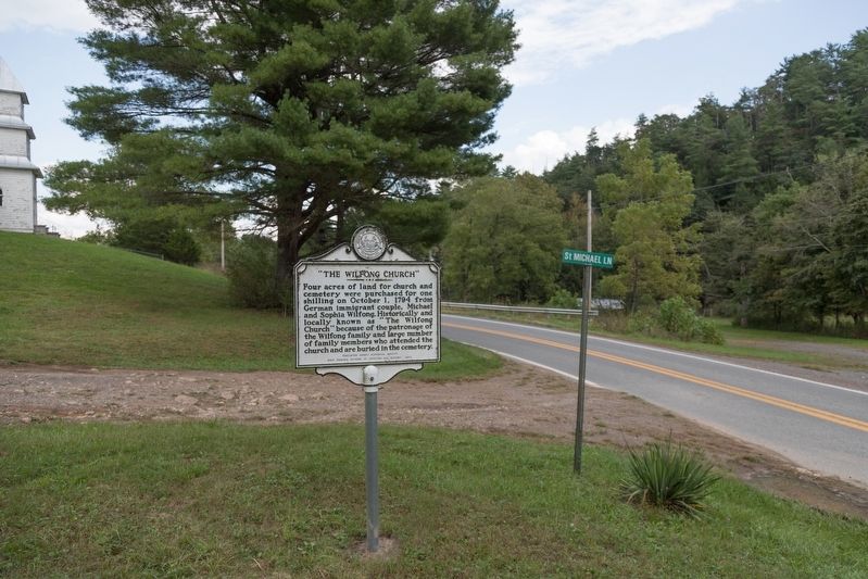
Location. 38° 28.467′ N, 79° 19.912′ W. Marker is near Sugar Grove, West Virginia, in Pendleton County. Marker is on Sugar Grove Road (West Virginia Route 21) south of Brushy Fork Road (West Virginia Route 30), on the right when traveling south. It is at the church. Touch for map. Marker is in this post office area: Brandywine WV 26802, United States of America. Touch for directions.
Other nearby markers. At least 8 other markers are within 11 miles of this marker, measured as the crow flies. Stone Cemetery (approx. 6.6 miles away); Highland County / West Virginia (approx. 9.1 miles away in Virginia); West Virginia / Virginia (approx. 9.1 miles away); Trout Rock Fort (approx. 9.2 miles away); Destruction of Saltpeter Works (approx. 9.2 miles away); Propst Lutheran Church (approx. 9.7 miles away); Jackson's Prayer Service (approx. 9.9 miles away); Devonian Shale (approx. 10.2 miles away).
Credits. This page was last revised on September 27, 2018. It was originally submitted on September 27, 2018, by J. J. Prats of Powell, Ohio. This page has been viewed 970 times since then and 107 times this year. Photos: 1, 2, 3, 4. submitted on September 27, 2018, by J. J. Prats of Powell, Ohio.


