
Plymouth, England, United Kingdom — Northwestern Europe (the British Isles)
John Collier
1769 - 1849
| — | City of Plymouth | — |
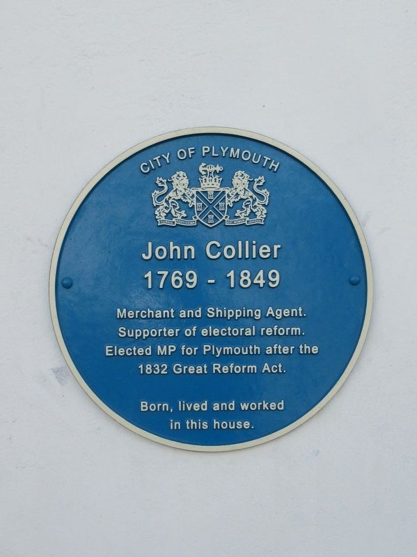
Photographed by Michael Herrick, August 4, 2018
1. John Collier Marker
Supporter of electoral reform.
Elected MP for Plymouth after the
1832 Great Reform Act.
Born, lived and worked
in this house.
Topics. This historical marker is listed in this topic list: Industry & Commerce.
Location. 50° 22.055′ N, 4° 8.211′ W. Marker is in Plymouth, England. It is at the intersection of Southside Street and Friars’ Lane, on the left when traveling west on Southside Street. Touch for map. Marker is at or near this postal address: 53 Southside Street, Plymouth, England PL1 2LA, United Kingdom. Touch for directions.

Regionally, this marker is in South West England. Globally, it is on the Atlantic Ocean, in the North Atlantic Region, in Europe, in Atlantic Europe, on one of the British Isles, in the Western World, and in the Anglosphere. Historically, it finds itself in what was once the Roman Empire.
Other nearby markers. At least 8 other markers are within walking distance of this marker: John Sparke House (about 120 meters away, measured in a direct line); William Cookworthy (about 120 meters away);
this page online
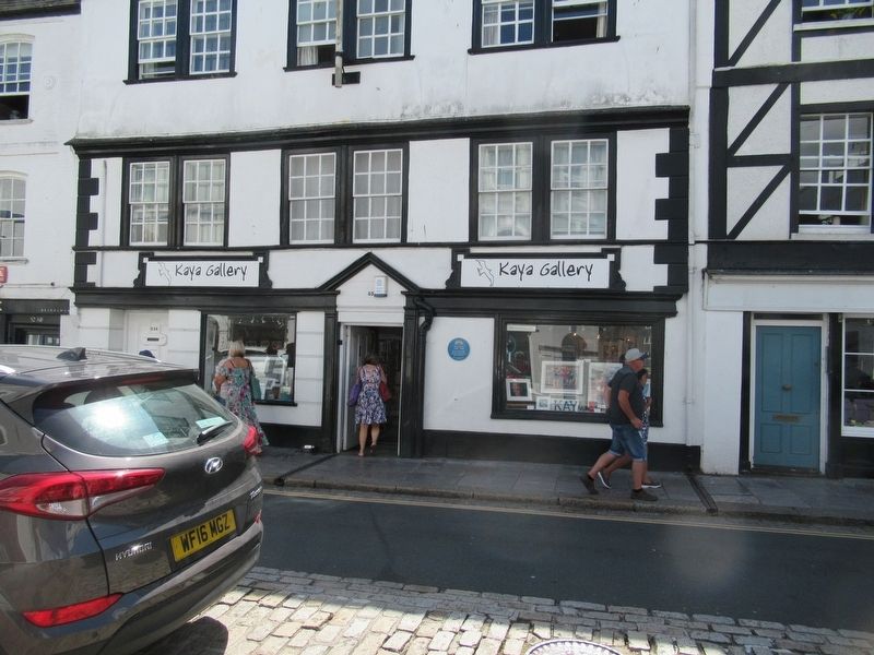
Photographed by Michael Herrick, August 4, 2018
2. John Collier Marker
Credits. This page was last revised on January 27, 2022. It was originally submitted on September 28, 2018, by Michael Herrick of Southbury, Connecticut. This page has been viewed 149 times since then and 12 times this year. Photos: 1, 2. submitted on September 28, 2018, by Michael Herrick of Southbury, Connecticut.
