San Luis de la Paz, Guanajuato, Mexico — The Central Highlands (North America)
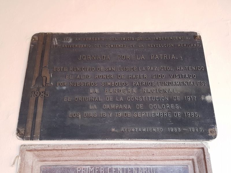
175th Anniversary of the Beginning of Independence
75th Anniversary of the Beginning of the Mexican Revolution
Inscription.
75 Aniversario del Comienzo de la Revolucion Mexicana.
Jornada por la Patria
Este Municipio de San Luis de la Paz, Gto., ha tenido el alto honor de haber sido visitado por nuestros símbolos patrios fundamentales: La Bandera Nacional, El original de la Constitucion de 1917 y la Campana de Dolores.
Los días 18 y 19 de septiembre de 1985.
H. Ayuntamiento 1983-1985.
175th Anniversary of the Beginning of Independence
75th Anniversary of the Beginning of the Mexican Revolution
Journey for the Nation
This Municipality of San Luis de la Paz, Guanajuato has had the great honor of having been visited by our fundamental national symbols: The National Flag, the original Constitution of 1917 and the Bell of Dolores on September 18 and 19, 1985.
Honorable City Council 1983-1985.
Erected 1985 by Honorable Ayuntamiento de San Luis de la Paz 1983-1985.
Topics. This memorial is listed in this topic list: Wars, Non-US. A significant historical date for this entry is September 18, 1917.
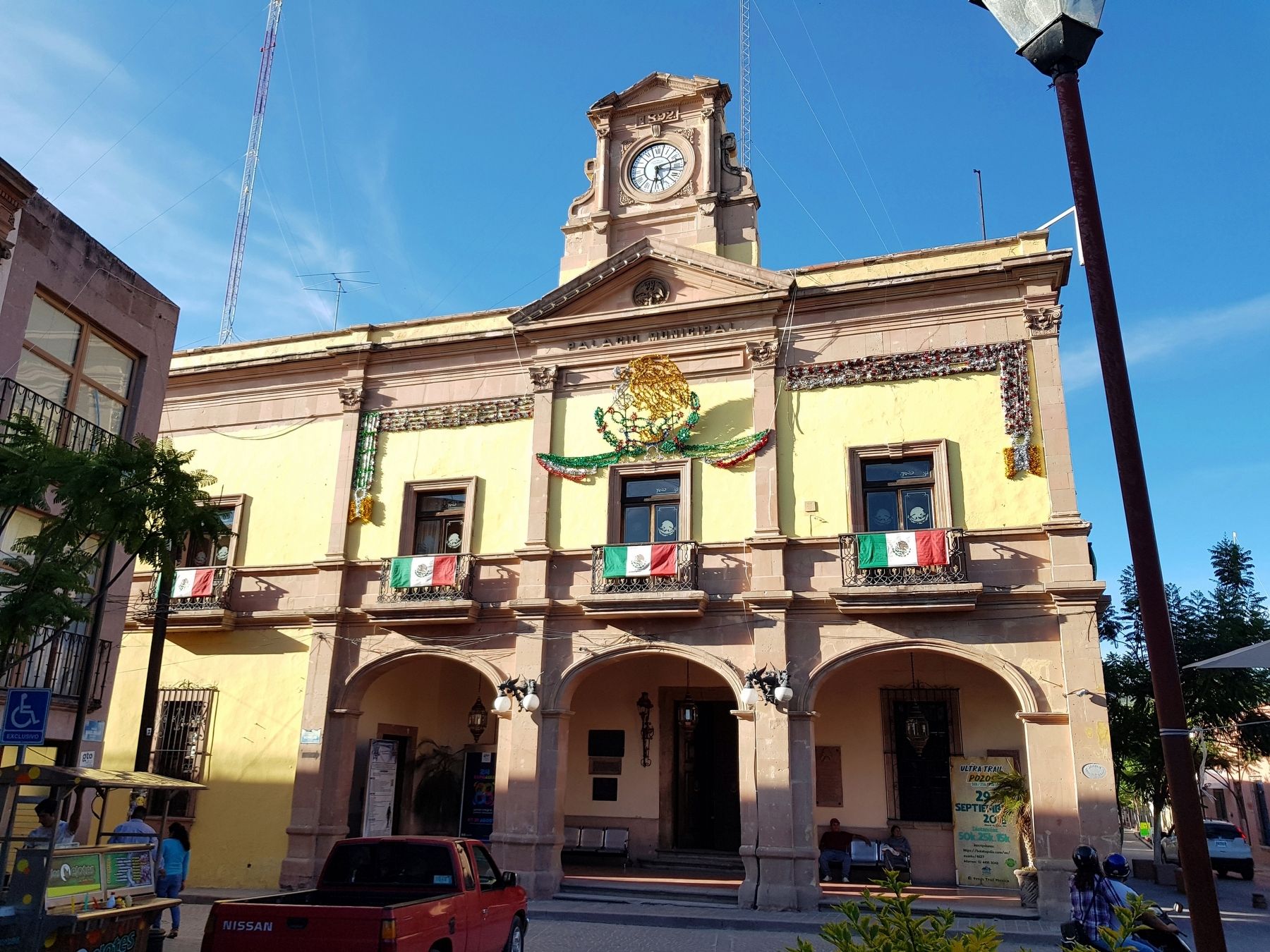
Location. 21° 17.926′ N, 100° 30.914′ W. Marker is in San Luis de la Paz, Guanajuato. Memorial is at the intersection of Calle Morelos and Calle Javier Mina, on the left when traveling east on Calle Morelos. Touch for map. Marker is in this post office area: San Luis de la Paz GTO 37900, Mexico. Touch for directions.
Other nearby markers. At least 8 other markers are within 10 kilometers of this marker, measured as the crow flies. Father Gonzalo de Tapia (about 120 meters away, measured in a direct line); Mine and Former Hacienda of Los Cinco Señores (approx. 8 kilometers away); Hacienda Baldomero (approx. 8 kilometers away); City Cemetery (approx. 8.1 kilometers away); Angustias Mine (approx. 8.2 kilometers away); The Model School (approx. 8.4 kilometers away); Aqueduct (approx. 8.5 kilometers away); Ex-Hacienda El Triángulo (approx. 8.5 kilometers away).

Photographed By J. Makali Bruton, September 14, 2018
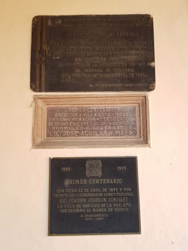
2. Additional markers near the featured Beginning of Independence Marker
There are two additional markers below the featured marker. They note the 100th anniversary of the elevation of the village's status to town (Villa) in 1949 and the 100th anniversary of the town's elevation to city status in 1995.
Credits. This page was last revised on September 10, 2020. It was originally submitted on September 28, 2018, by J. Makali Bruton of Accra, Ghana. This page has been viewed 90 times since then and 7 times this year. Photos: 1, 2, 3. submitted on September 28, 2018, by J. Makali Bruton of Accra, Ghana.

