East Tawas in Iosco County, Michigan — The American Midwest (Great Lakes)
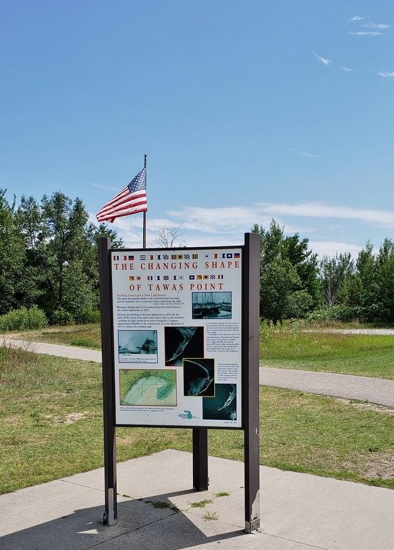
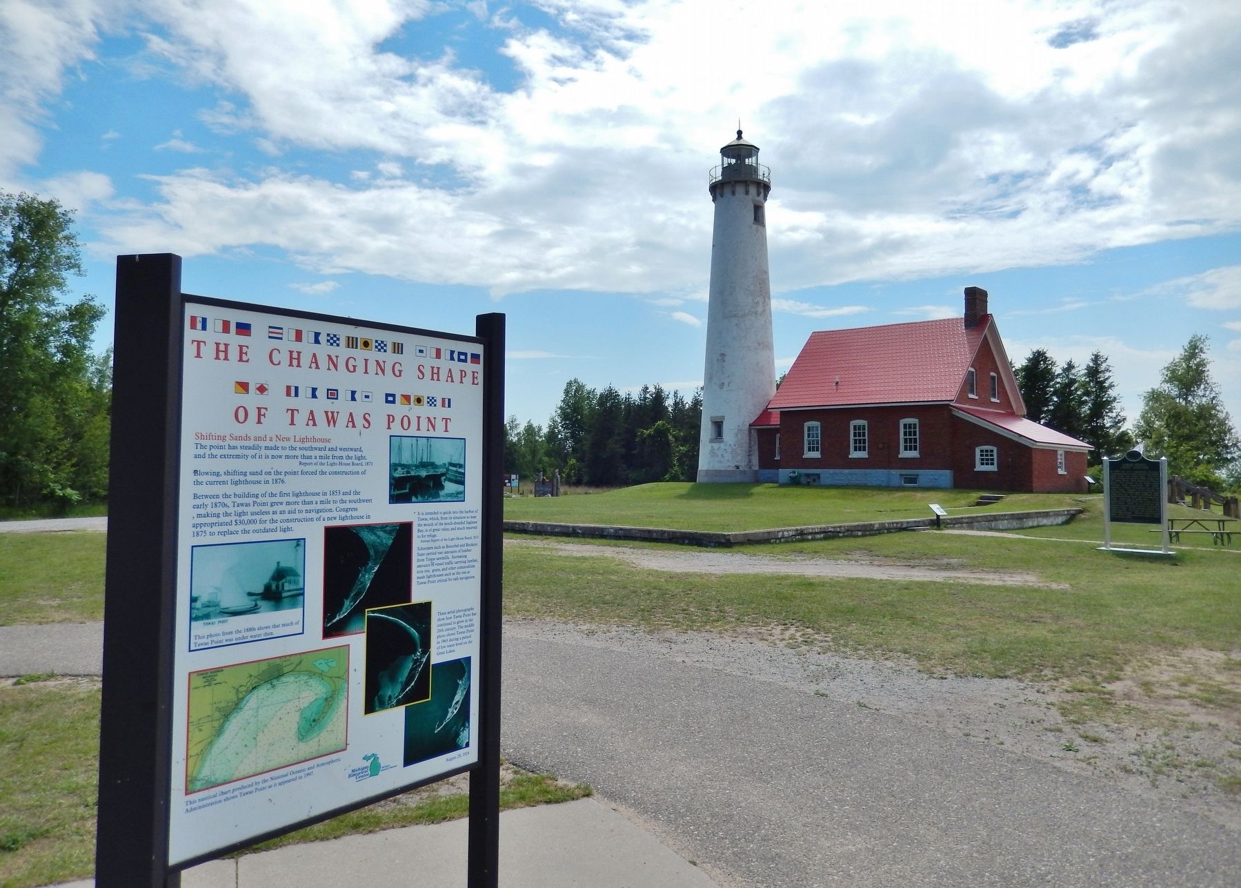
The Changing Shape of Tawas Point
Shifting Sands and a New Lighthouse
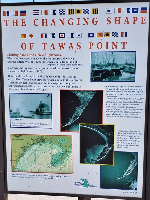
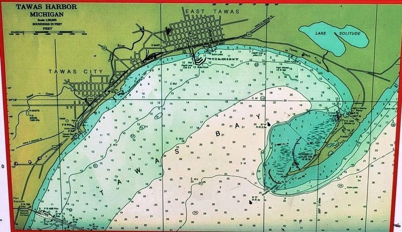
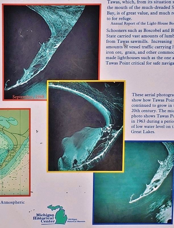
The point has steadily made to the southward and westward, and the extremity of it is now more than a mile from the light.
Blowing, shifting sand on the point forced the construction of the current lighthouse in 1876.
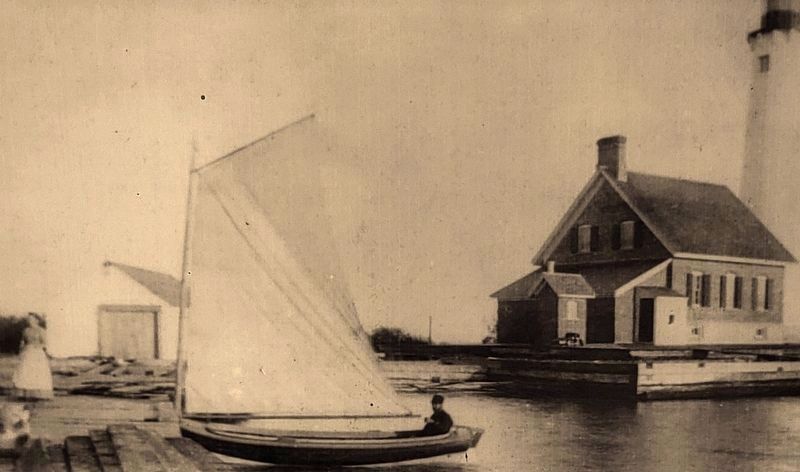
Between the building of the first lighthouse in 1853 and the early 1870s, Tawas Point grew more than a mile to the southwest, making the light useless as an aid to navigation. Congress appropriated $30,000 for the construction of a new lighthouse in 1875 to replace the outdated light.
It is intended to guide into the harbor of Tawas, which, from its situation so near the mouth of the much-dreaded Saginaw Bay, is of great value, and much resorted to for refuge.
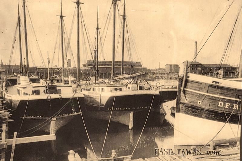
Schooners such as Boscobel and Buckeye State carried vast amounts of lumber from Tawas sawmills. Increasing amounts of vessel traffic carrying lumber, iron ore, grain, and other commodities made lighthouses such as the one at Tawas Point critical for safe navigation.
Erected by Michigan Historical Center & Michigan Historical Museum.
Topics and series. This historical marker is listed in these topic lists: Industry & Commerce • Waterways & Vessels. In addition, it is included in the Lighthouses series list.
Location. 44° 15.247′ N, 83° 26.943′ W. Marker is in East Tawas, Michigan, in Iosco County. Marker can be reached from Tawas Beach Road, 3˝ miles east of U.S. 23. Marker is located inside Tawas Point State Park, at the end of Tawas Beach Road, along the walking path on the northeast side of the lighthouse. Touch for map. Marker is at or near this postal address: 686 Tawas Beach Road, East Tawas MI 48730, United States of America. Touch for directions.
Other nearby markers. At least 8 other markers are within 3 miles of this marker, measured as the crow flies. A New Light on the Horizon (here, next to this marker); Preserving the Light (here, next to this marker); Tawas Point Light Station (within shouting distance of this marker); Double Dwelling (within shouting distance of this marker); Tawas Lighthouse (within shouting distance of this marker); Oil House (within shouting distance of this marker); Earl T. O’Loughlin (approx. 2.6 miles away); East Tawas Veterans Memorial (approx. 2.6 miles away). Touch for a list and map of all markers in East Tawas.
More about this marker. This is a tall, metal, triangular, "kiosk-style" marker.
Also see . . .
Tawas Point Light. In 1867, the Inspector of the lighthouse said that the lighthouse was wearing down to the point where they should consider renovating it. The Lighthouse Board ignored his request to put more money in the lighthouse because they had bigger problems at hand. The waves caused sand build-up by the Point, which added almost a mile more of land. The lighthouse was so far inland that mariners were unable to see the lighthouse's light. To add to the problem this lighthouse was known for its dim light. With all these problems combined, it caused a shipwreck from Captain Olmstead's schooner "Dolphin". This caused the Lighthouse board to reconsider. In 1875 Congress approved a $30,000 amount for a brand new lighthouse. They finished building the lighthouse sometime in 1877. (Submitted on October 1, 2018, by Cosmos Mariner of Cape Canaveral, Florida.)
Credits. This page was last revised on November 2, 2018. It was originally submitted on September 29, 2018, by Cosmos Mariner of Cape Canaveral, Florida. This page has been viewed 284 times since then and 36 times this year. Photos: 1, 2, 3, 4, 5. submitted on October 1, 2018, by Cosmos Mariner of Cape Canaveral, Florida. 6. submitted on October 30, 2018, by Cosmos Mariner of Cape Canaveral, Florida. 7. submitted on October 1, 2018, by Cosmos Mariner of Cape Canaveral, Florida. • Bill Pfingsten was the editor who published this page.
