American University Park in Northwest Washington in Washington, District of Columbia — The American Northeast (Mid-Atlantic)
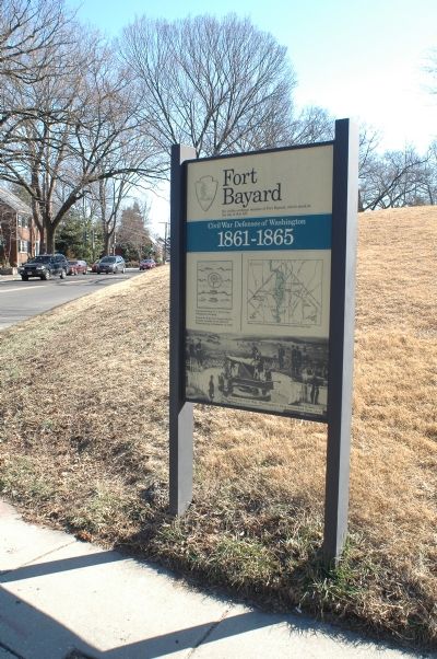
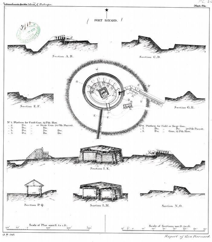
Fort Bayard
Erected by National Park Service, U.S. Department of the Interior.
Topics and series. This historical marker is listed in these topic lists: Forts and Castles • War, US Civil. In addition, it is included in the Defenses of Washington series list. A significant historical month for this entry is December 1803.
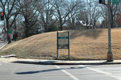
Location. 38° 57.38′ N, 77° 5.475′ W. Marker is in Northwest Washington in Washington, District of Columbia. It is in American University Park. Marker is at the intersection of River Road Northwest and Western Avenue Northwest, on the right when traveling south on River Road Northwest. Western Avenue is the western border of the District of Columbia with Maryland. River Road is State Route 190 in Maryland. Touch for map. Marker is in this post office area: Washington DC 20016, United States of America. Touch for directions.
Other nearby markers. At least 5 other markers are within walking distance of this marker. The District of Columbia Boundary Stones (approx. 0.2 miles away in Maryland); The Washington and Glen Echo Railroad (approx. half a mile away in Maryland); "Oh, It's You, Welcome!" (approx. half a mile away in Maryland); Early Commerce (approx. half a mile away); Harry Country (approx. 0.6 miles away). Touch for a list and map of all markers in Northwest Washington.
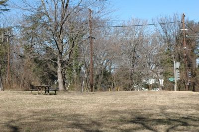
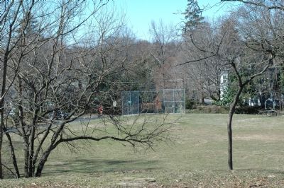
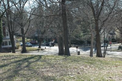
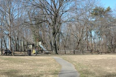
More about this marker. The marker is at the northern point of the one-block-"square" five-sided Fort Bayard park, bounded by Western Avenue and River Road to the north, 46th and 47th Streets east and west, and Fessenden Street on the south.
Regarding Fort Bayard. A great place to have an afternoon picnic in the spring or fall.
Also see . . .
1. Rock Creek Park: Fort Bayard. Fort Circle pages of the National Park Service site. This page has a drawing of the fort and a link to a map of all of Washington's Civil War fortifications. (Submitted on February 26, 2006.)
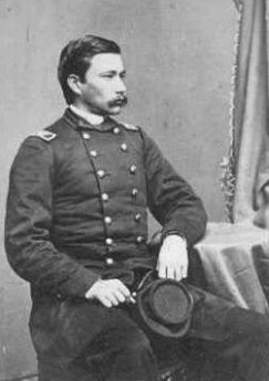
2. George Dashiell Bayard. (Submitted on March 13, 2011, by Richard E. Miller of Oxon Hill, Maryland.)
Credits. This page was last revised on March 12, 2024. It was originally submitted on February 26, 2006, by Tom Fuchs of Greenbelt, Maryland. This page has been viewed 5,190 times since then and 60 times this year. Photos: 1, 2. submitted on February 26, 2006, by Tom Fuchs of Greenbelt, Maryland. 3. submitted on March 13, 2011, by Richard E. Miller of Oxon Hill, Maryland. 4, 5, 6, 7. submitted on March 7, 2006, by Tom Fuchs of Greenbelt, Maryland. 8. submitted on March 12, 2024, by Allen C. Browne of Silver Spring, Maryland. • J. J. Prats was the editor who published this page.
