
Edgemont in Fall River County, South Dakota — The American Midwest (Upper Plains)
Teddy Roosevelts's Visit to Edgemont
Photographed by Cosmos Mariner, July 10, 2012
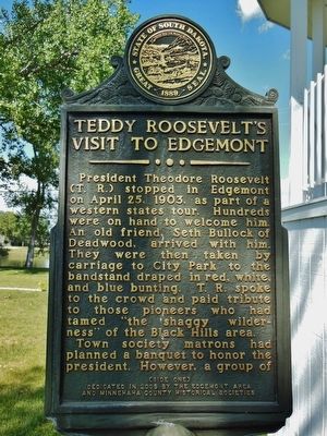
1. Teddy Roosevelts's Visit to Edgemont Marker
President Theodore Roosevelt (T. R.) stopped in Edgemont on April 25, 1903 as part of a western states tour. Hundreds were on hand to welcome him. An old friend, Seth Bullock of Deadwood, arrived with him. They were then taken by carriage to City Park to the bandstand draped in red, white, and blue bunting. T. R. spoke to the crowd and paid tribute to those pioneers who had tamed “the shaggy wilderness” of the Black Hills area.
Town society matrons had planned a banquet to honor the president. However, a group of
(Side 2)
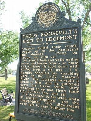
cowboys pulled their chuck-wagon to the bandstand and shouted, "Come on, Teddy, eat with us!"
He joined them and while eating beans and bacon from a tin plate and washing his food down with coffee from a tin cup, T. R. happily recalled his ranching days on the Little Missouri River. The cowboys brought a horse to him, and he galloped down the street while they whooped it up and fired their six-shooters into the air.
T. R returned to his train when its whistle signaled, and the disappointed city dignitaries were left to dine without him.
Erected 2005 by Edgemont
this page online
Topics and series. This historical marker is listed in these topic lists: Government & Politics • Patriots & Patriotism • Settlements & Settlers. In addition, it is included in the Former U.S. Presidents: #26 Theodore Roosevelt series list. A significant historical date for this entry is April 25, 1903.
Location. 43° 17.905′ N, 103° 49.49′ W. Marker is in Edgemont, South Dakota, in Fall River County. It is on 2nd Avenue (South Dakota Route 471) north of G Street, on the right when traveling north. The marker is located adjacent to white bandstand gazebo in Edgemont City Park. Touch for map. Marker is at or near this postal address: 1948 2nd Avenue, Edgemont SD 57735, United States of America. Touch for directions.

Regionally, this marker is in West River. It is also in the American Black Hills, in the Lewis & Clark Corridor, on the prairies, and on the Northern Plains. Globally, it is in North America, the Western Hemisphere, the Western World, and the Anglosphere. Historically, it finds itself in what was once Rupert’s Land and also the Louisiana Purchase.
Other nearby markers. At
Photographed by Cosmos Mariner, July 10, 2012
2. Teddy Roosevelts's Visit to Edgemont Marker (side 2)
Also see . . .
1. President Theodore Roosevelt;Edgemont - Presidential Chuckwagon.
This is a 7 X 9 photograph of a crowd of people outdoors near a table of food at an unidentified location. A man in the center of the photo appears to be Theodore Roosevelt. He and others are wearing ribbons on their jackets. photo is glued to cardboard. The back is not visible. (Submitted on April 23, 2016, by Cosmos Mariner of Cape Canaveral, Florida.)
2. President Roosevelt's western tour - Edgemont, S. D. Rough Riders. (Submitted on April 23, 2016, by Cosmos Mariner of Cape Canaveral, Florida.)
Photographed by Cosmos Mariner, July 10, 2012
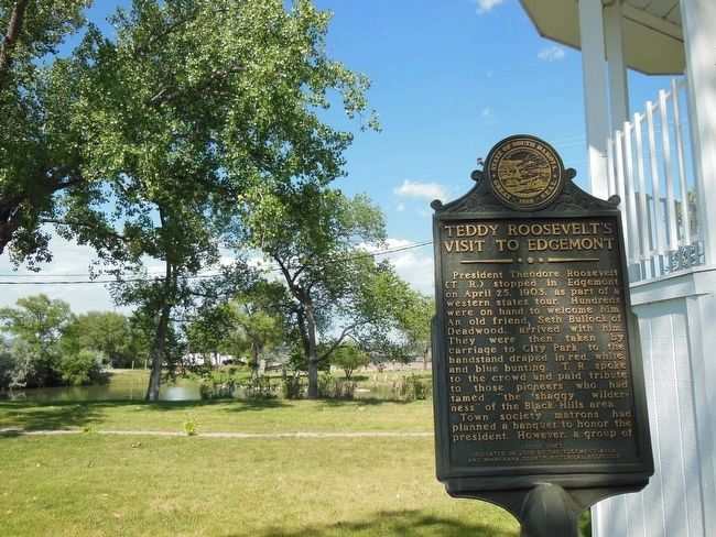
3. Teddy Roosevelts's Visit to Edgemont Marker (view across the park)
Photographed by Cosmos Mariner, July 10, 2012
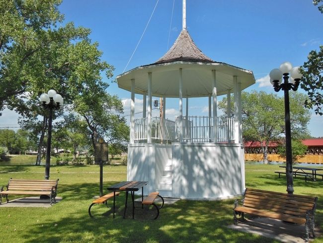
4. Edgemont City Park Bandstand / Gazebo
Marker can be seen just left of the gazebo
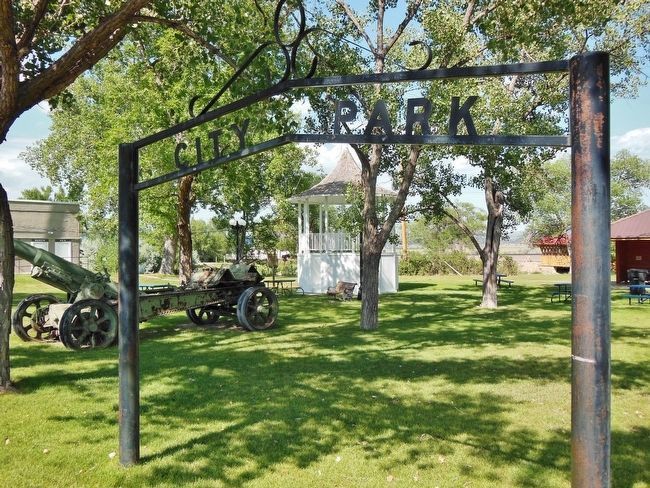
Photographed by Cosmos Mariner, July 10, 2012
5. Edgemont City Park
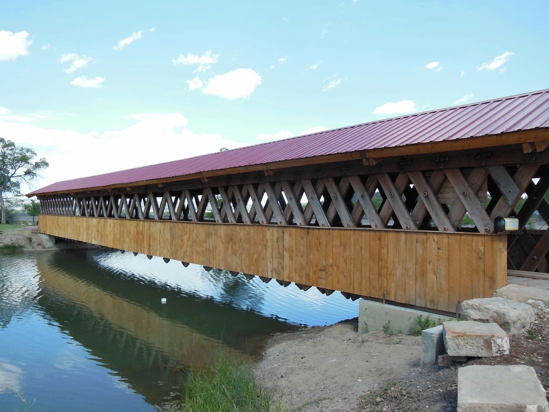
Photographed by Cosmos Mariner, July 10, 2012
6. Edgemont City Park: Covered Foot Bridge & Terminus of Mickleson Trail
Credits. This page was last revised on October 16, 2018. It was originally submitted on April 23, 2016, by Cosmos Mariner of Cape Canaveral, Florida. This page has been viewed 1,217 times since then and 79 times this year. Last updated on September 29, 2018, by Cosmos Mariner of Cape Canaveral, Florida. Photos: 1, 2, 3, 4, 5. submitted on April 23, 2016, by Cosmos Mariner of Cape Canaveral, Florida. 6. submitted on October 11, 2018, by Cosmos Mariner of Cape Canaveral, Florida. • Andrew Ruppenstein was the editor who published this page.
