Falmouth in Cornwall, England, United Kingdom — Northwestern Europe (the British Isles)
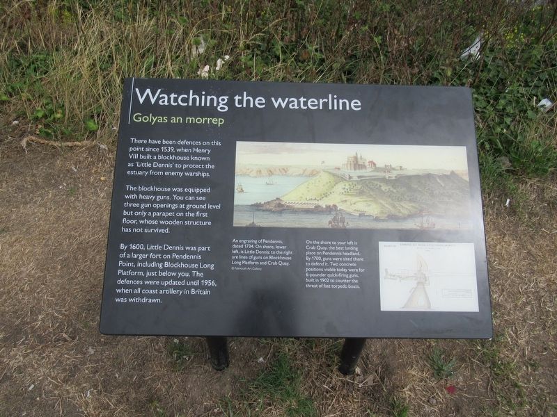
Watching the waterline
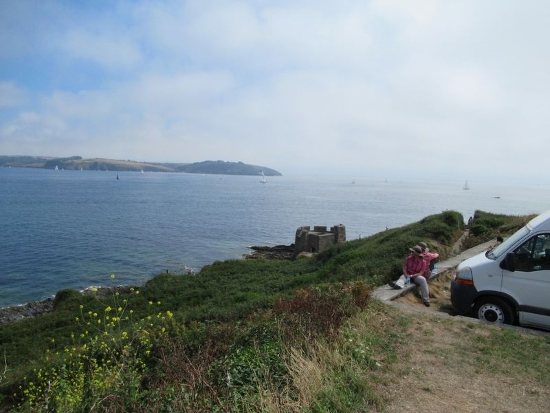
There have been defences on this point since 1539, when Henry Ill built a blockhouse known as 'Little Dennis' to protect the estuary from enemy warships. The blockhouse was equipped with heavy guns. You can see three gun openings at ground level but only a parapet on the first floor, whose wooden structure has not survived.
By 1600, Little Dennis was part of a larger fort on Pendennis Point, including Blockhouse Long Platform, just below you. The defences were updated until 1956, when all coast artillery in Britain was withdrawn.
An engraving of Pendennis, dated 1734. On shore, lower left, is Little Dennis: to the right are lines of guns on Blockhouse Long Platform and Crab Quay.
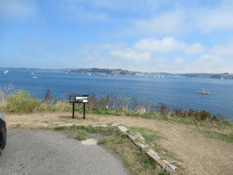
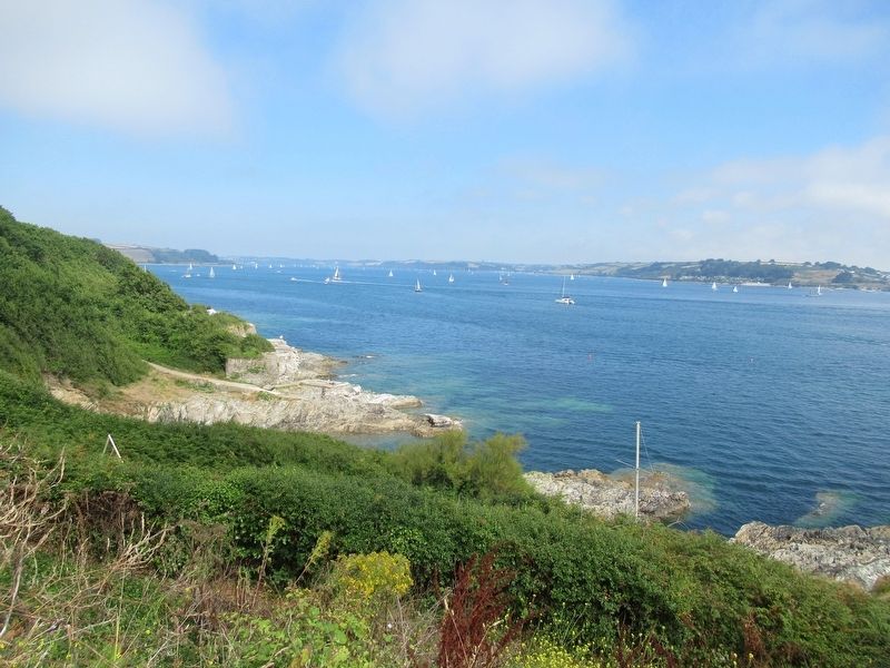
On the shore to your left is Crab Quay, the best landing place on Pendennis headland. By 1700, guns were sited there to defend it. Two concrete positions visible today were for 6-pounder quick-firing guns built in 1902 to counter the threat of fast torpedo boats.
Topics. This historical marker is listed in this topic list: Forts and Castles.
Location. 50° 8.638′ N, 5° 2.606′ W. Marker is in Falmouth, England, in Cornwall. Marker is on Castle Drive, 0.8 kilometers south of Cliff Road, on the right when traveling south. Touch for map. Marker is in this post office area: Falmouth, England TR11 4WZ, United Kingdom. Touch for directions.
Other nearby markers. At least 8 other markers are within 3 kilometers of this marker, measured as the crow flies. Pendennis Point (within shouting distance of this marker); Falmouth Docks (approx. 1.1 kilometers away); National Maritime Museum Cornwall (approx. 1.6 kilometers away); Killigrew Pyramid (approx. 1.6 kilometers away); Discovery Quay (approx. 1.6 kilometers away); Russian Convoy Memorial (approx. 1.6 kilometers away); HMS Forte IV (approx. 1.6 kilometers away); The Port of Falmouth (approx. 1.8 kilometers away). Touch for a list and map of all markers in Falmouth.
Credits. This page was last revised on January 27, 2022. It was originally submitted on September 30, 2018, by Michael Herrick of Southbury, Connecticut. This page has been viewed 124 times since then and 6 times this year. Photos: 1, 2, 3, 4. submitted on September 30, 2018, by Michael Herrick of Southbury, Connecticut.


