Tintagel in Cornwall, England, United Kingdom — Northwestern Europe (the British Isles)
The Traderís tale
Hwedhel an Gwikor
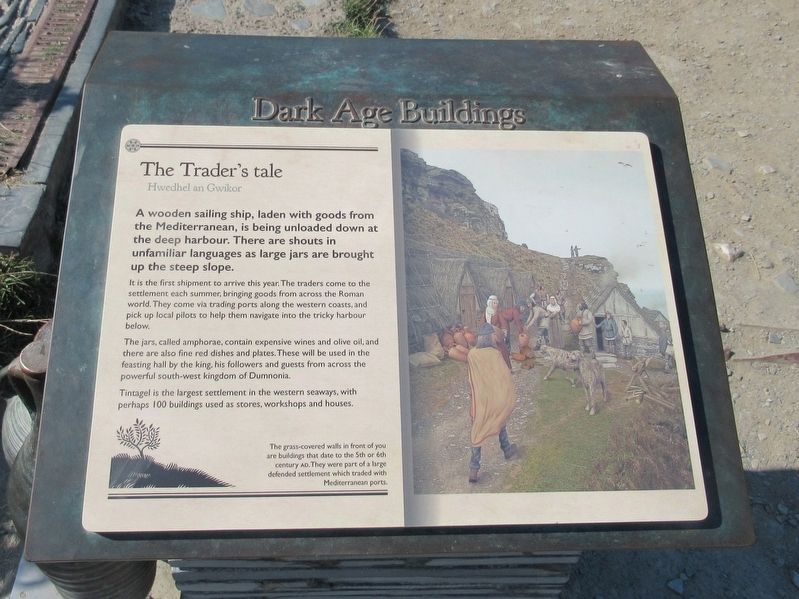
A wooden sailing ship, laden with goods from the Mediterranean, is being unloaded down at the deep harbour. There are shouts in unfamiliar languages as large jars are brought up the steep slope.
It is the first shipment to arrive this year. The traders come to the settlement each summer, bringing goods from across the Roman world. They come via trading ports along the western coasts, and pick up local pilots to help them navigate into the tricky harbour below.
The jars, called amphorae, contain expensive wines and olive oil, and there are also fine red dishes and plates. These will be used in the feasting hall by the king, his followers and guests from across the powerful south-west kingdom of Dumnonia.
Tintagel is the largest settlement in the western seaways, with perhaps 100 buildings used as stores, workshops and houses.
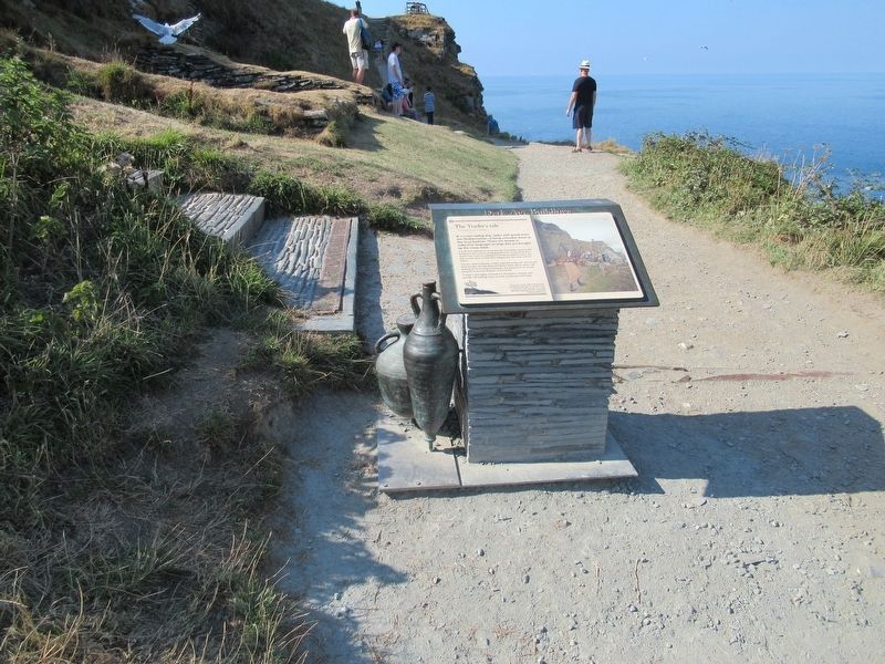
The grass-covered walls in front of you are buildings that date to the 5th or 6th century AD. They were part of a large defended settlement which traded with Mediterranean ports.
Topics. This historical marker is listed in this topic list: Forts and Castles.
Location. 50° 40.113′ N, 4° 45.605′ W. Marker is in Tintagel, England, in Cornwall. Marker can be reached from Castle Road, 0.6 kilometers west of Atlantic Road, on the right when traveling west. Located at Tintagel Castle. Touch for map. Marker is in this post office area: Tintagel, England PL34 0HE, United Kingdom. Touch for directions.
Other nearby markers. At least 8 other markers are within walking distance of this marker. Excavations and discoveries (a few steps from this marker); A complicated ruin (within shouting distance of this marker); The Priestís tale (within shouting distance of this marker); Prince Dafyddís tale (within shouting distance of this marker); Florenceís shelter (within shouting distance of this marker); Tintagel village (within shouting distance of this marker); A changing coastline (within shouting distance of this marker); A romantic retreat (about 90 meters away, measured in a direct line). Touch for a list and map of all markers in Tintagel.
Also see . . .
1. English Heritage - Tintagel Castle. (Submitted on October 1, 2018, by Michael Herrick of Southbury, Connecticut.)
2. Tintagel Castle on Wikipedia. (Submitted on October 1, 2018, by Michael Herrick of Southbury, Connecticut.)
Credits. This page was last revised on January 27, 2022. It was originally submitted on October 1, 2018, by Michael Herrick of Southbury, Connecticut. This page has been viewed 153 times since then and 23 times this year. Photos: 1, 2, 3. submitted on October 1, 2018, by Michael Herrick of Southbury, Connecticut.


