American Falls in Power County, Idaho — The American West (Mountains)
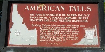
American Falls
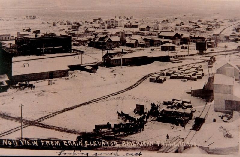
The Oregon Trail passed close to the falls, which had been named in contrast to "Canadian Falls" -- now known as Shoshone Falls -- 95 miles downstream. The town of Amierican Falls was founded when the railroad came in 1882, and served a ranching area. An important power dam was built in 1902. When the present large irrigation dam was built in 1925-1927, the town has to be moved out of the reservoir area.
Erected by Idaho Department of Transportation. (Marker Number 274.)
Topics and series. This historical marker is listed in this topic list: Settlements & Settlers. In addition, it is included in the Idaho State Historical Society series list. A significant historical year for this entry is 1882.
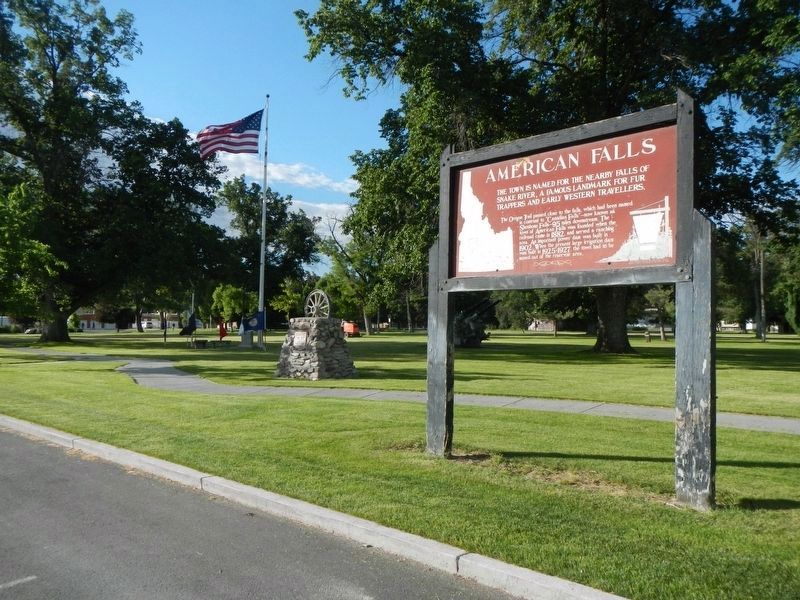
Location. 42° 47.052′ N, 112° 51.036′ W. Marker is in American Falls, Idaho, in Power County. Marker is on Harrison Street near Bannock Avenue, on the left when traveling east. Touch for map. Marker is at or near this postal address: 330 Harrison Street, American Falls ID 83211, United States of America. Touch for directions.
Other nearby markers. At least 8 other markers are within 11 miles of this marker, measured as the crow flies. Oregon Trail (a few steps from this marker); Power County War Memorial (within shouting distance of this marker); A Town on the Move... (approx. ¼ mile away); a different marker also named Oregon Trail (approx. 1.2 miles away); American Falls Power Plants (approx. 1.7 miles away); a different marker also named Oregon Trail (approx. 8.4 miles away); Snake River Rest Area Oregon Trail Kiosk (approx. 8.4 miles away); Massacre Rock - A Clashing of Cultures (approx. 10.3 miles away). Touch for a list and map of all markers in American Falls.
More about this marker. This marker is located in the City Park.
Also see . . . The Moving of a Town -- The City of American Falls. The first permanent settlement of American Falls was founded in 1800 and located on the West bank of the Snake River, on the opposite side of the river from the present location. In 1888, the “town” was moved across the river to the (what is now called) “original town site”. (Submitted on October 1, 2018, by Barry Swackhamer of Brentwood, California.)
Credits. This page was last revised on October 1, 2018. It was originally submitted on October 1, 2018, by Barry Swackhamer of Brentwood, California. This page has been viewed 659 times since then and 68 times this year. Photos: 1, 2, 3. submitted on October 1, 2018, by Barry Swackhamer of Brentwood, California.


