American Falls in Power County, Idaho — The American West (Mountains)
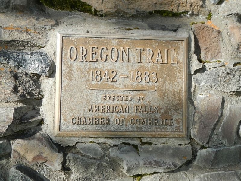
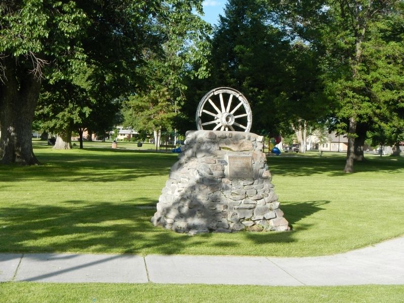
Oregon Trail
1842 - 1883
Erected by American Falls Chamber of Commerce.
Topics and series. This historical marker is listed in this topic list: Roads & Vehicles. In addition, it is included in the Oregon Trail series list.
Location. 42° 47.052′ N, 112° 51.024′ W. Marker is in American Falls, Idaho, in Power County. Marker is on Harrison Street near Bannock Avenue, on the left when traveling east. Touch for map. Marker is at or near this postal address: 330 Harrison Street, American Falls ID 83211, United States of America. Touch for directions.
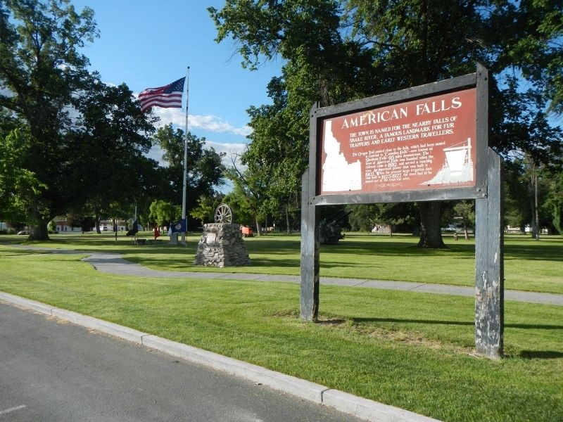
Other nearby markers. At least 8 other markers are within 11 miles of this marker, measured as the crow flies. American Falls (a few steps from this marker); Power County War Memorial (within shouting distance of this marker); A Town on the Move... (approx. ¼ mile away); a different marker also named Oregon Trail (approx. 1.3 miles away); American Falls Power Plants (approx. 1.7 miles away); a different marker also named Oregon Trail (approx. 8.4 miles away); Snake River Rest Area Oregon Trail Kiosk (approx. 8.4 miles away); Massacre Rock - A Clashing of Cultures (approx. 10.3 miles away). Touch for a list and map of all markers in American Falls.
Credits. This page was last revised on October 1, 2018. It was originally submitted on October 1, 2018, by Barry Swackhamer of Brentwood, California. This page has been viewed 383 times since then and 70 times this year. Photos: 1, 2, 3. submitted on October 1, 2018, by Barry Swackhamer of Brentwood, California.


