
Seneca Rocks in Pendleton County, West Virginia — The American South (Appalachia)
An 1800’s Garden!

Photographed by J. J. Prats, September 19, 2018
1. An 1800’s Garden! Marker
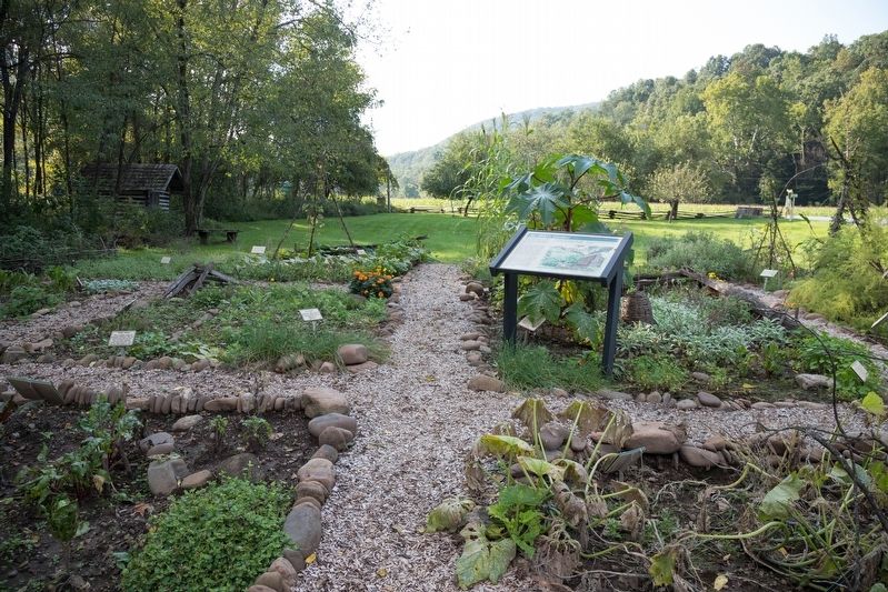
Do you see any familiar plants that are still grown in our gardens today? Which crops do you find unusual? Plants have a history just like other things in our lives. Some were already here before the pioneers arrived, while others were brought to the “new world” from their countries of origin.
As times, needs and eating habits change, so too do the plants we choose to grow. Looking at the past provides a prespective to reflect upon the many changes that have taken place, not only to our gardens, but also other aspects of life.
Feel free to explore the garden of the Sites Homestead, and imagine how life must have been all those years ago.
Topics. This historical marker is listed in these topic lists: Horticulture & Forestry • Settlements & Settlers.
Location. 38° 50.167′ N, 79° 22.415′ W. Marker is in Seneca Rocks, West Virginia, in Pendleton County. It is on West Virginia Route 28 just north of U.S. 33, on
this page online

Regionally, this marker is in West Virginia’s Potomac Highlands. It is also in the American South, specifically in the Upper South, and in Appalachia. Globally, it is in North America, the Western Hemisphere, the Western World, and the Anglosphere. Historically, it finds itself in what was once the territory of the Mississippian Culture.
Other nearby markers. At least 8 other markers are within 6 miles of this marker, measured as the crow flies: A Melting Pot House (a few steps from this marker); Sites Homestead (within shouting distance of this marker); Tuscarora (Clinton) Sand (within shouting distance of this marker); 10th Mountain Division (approx. 0.2 miles away); More Than One Way Up (approx. 0.2 miles away); Camp Luther (approx. 1½ miles away); Eagle Rocks (approx. 4.4 miles away); St. George’s Church (approx. 5.3 miles away). Touch for a list and map of all markers in Seneca Rocks.
Other markers no longer nearby. Seneca Rocks (was approx. 0.2 miles away but has been confirmed
Photographed by J. J. Prats, September 19, 2018
2. Garden and Marker
Photographed by J. J. Prats, September 19, 2018
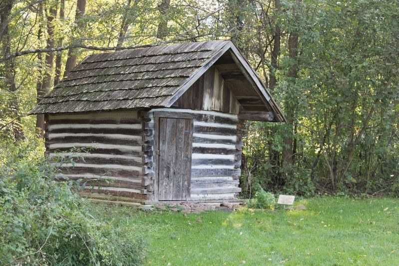
3. Garden Shed
The small sign reads “This shed was moved here from another homestead in the area. It is representative of one of the many outbuildings once present around the Sites Homestead.”
Credits. This page was last revised on October 2, 2018. It was originally submitted on October 2, 2018, by J. J. Prats of Powell, Ohio. This page has been viewed 470 times since then and 18 times this year. Photos: 1, 2, 3. submitted on October 2, 2018, by J. J. Prats of Powell, Ohio.
