Sioux Falls in Minnehaha County, South Dakota — The American Midwest (Upper Plains)
Beginning of Great Changes
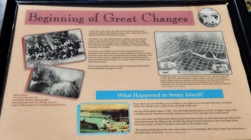
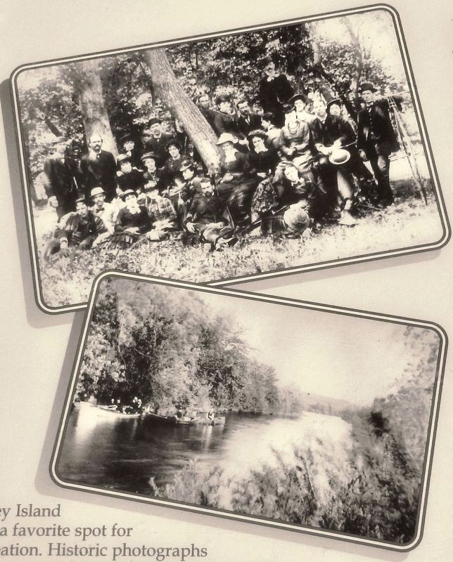
In the city's early days, the falls attracted both industry and pleasure seekers. During their leisure time, settlers and visitors enjoyed both the falls and Seney Island
The Island, as it was called by early residents, was an oasis for citizens and tourists because of its shady woods. They could wade or ride in a carriage across a shallow channel in the Big Sioux River to the island to enjoy picnicking, swimming, fishing, canoeing and courting.
The beauty was swiftly ruined by the industries that were attracted to this area's resources. Water pollution in the river and the fumes and noise from locomotives and nearby industries were offensive. Rock quarry companies and the hydroelectric plant removed stone from the falls, and a larger dam was built for the hydroelectric plant.
These changes ended river recreation, eliminated Seney Island and dramatically changed the falls.
What Happened to Seney Island?
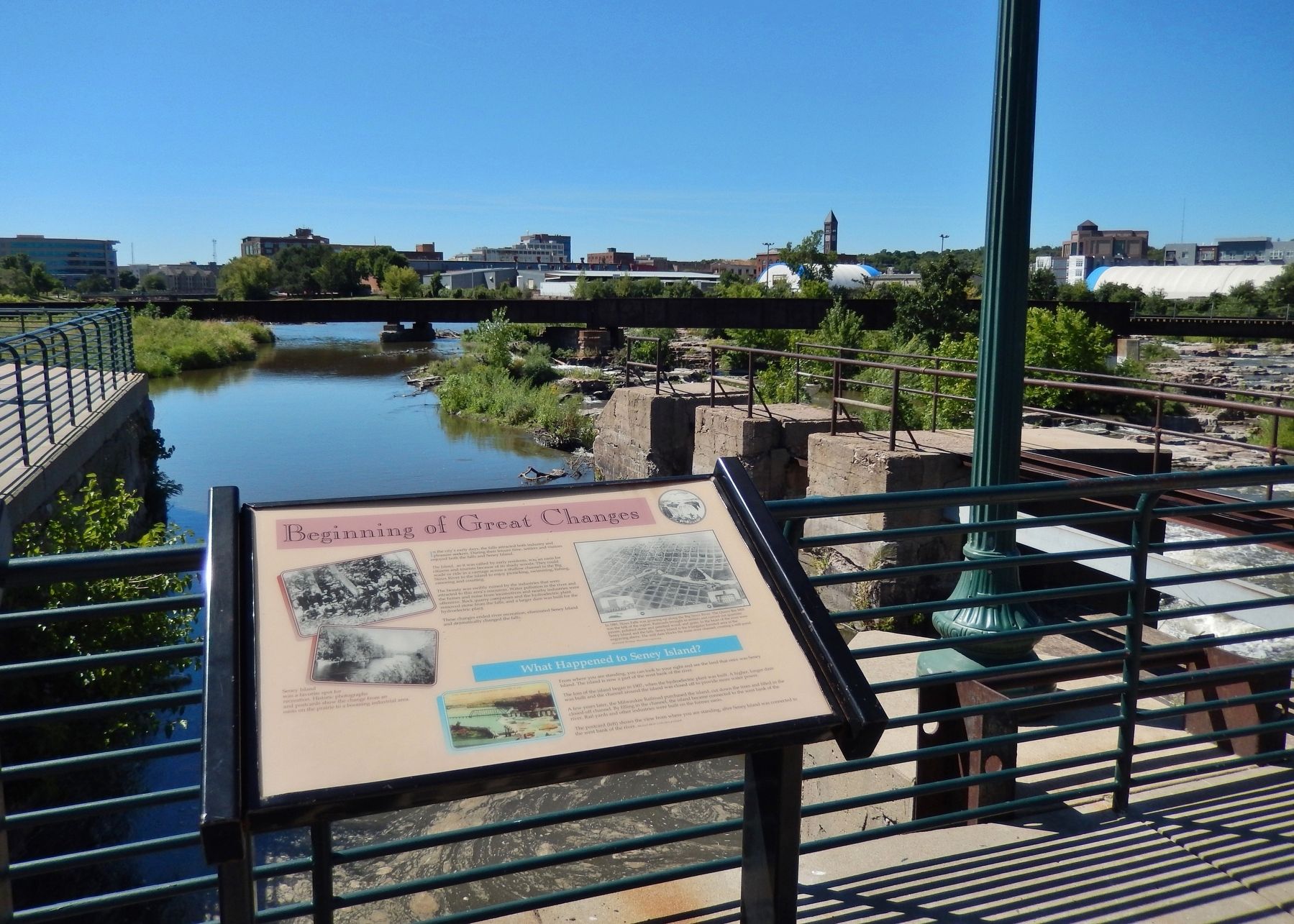
From where you are standing, you can look to your right and see the land that once was Seney Island. The island is now a part of the west bank of the river.
The loss of the island began in 1907, when the hydroelectric plant was built. A higher, longer dam was built and the channel around the island was closed off to provide more water power.
A few years later, the Milwaukee Railroad purchased the island, cut down the trees and filled in the closed-off channel. By filling in the channel, the island became connected to the west bank of the river. Rail yards and other industries were built on the former oasis.
Topics. This historical marker is listed in these topic lists: Industry & Commerce • Railroads & Streetcars • Settlements & Settlers • Waterways & Vessels.
Location. 43° 33.33′ N, 96° 43.366′ W. Marker is in Sioux Falls, South Dakota, in Minnehaha County. Marker can be reached from North Weber Avenue, 0.2 miles south of East Falls Park Drive, on the right when traveling south. Marker is located in Falls Park, along the walkway on the north side of the Queen Bee Mill Ruins. Touch for map. Marker is in this post office area: Sioux Falls SD 57104, United States of America. Touch for directions.
Other nearby markers. At least 8 other markers are within walking distance of this marker. Foundation of the City (here, next to this marker); Harnessing the River (a few steps from this marker); Namesake of the City (a few steps from this marker); Inland Seas (within shouting distance of this marker); The Queen Bee Mill (about 300 feet away, measured in a direct line); Hive of the Queen City (about 300 feet away); Philander Prescott (about 400 feet away); The Lure of the Falls (about 400 feet away). Touch for a list and map of all markers in Sioux Falls.
More about this marker. Marker is a large, framed plaque, mounted horizontally, on waist-high metal posts.
Also see . . . Looking Back: Seney Island provided public recreation at the Falls. n 1879, ardent Sioux Falls supporter R.F. Pettigrew brought George I. Seney to town to convince him to put a healthy chunk of change behind his Queen Bee Mill project. Seeing it as a fine opportunity, Seney invested heavily, and the island was renamed for him. Although Seney became owner of the land, its public recreational use continued. In 1907, Sioux Falls Light and Power filled in the shallow channel of water on the western side of The Island. The piece of land was no longer an island. The Milwaukee Railroad bought the land from Seney to expand its rail yard. Gradually, people stopped coming to Seney Island, and the railroad cut down any trees that remained. (Submitted on October 5, 2018, by Cosmos Mariner of Cape Canaveral, Florida.)

Photographed By Siouxland Heritage Museum engraving
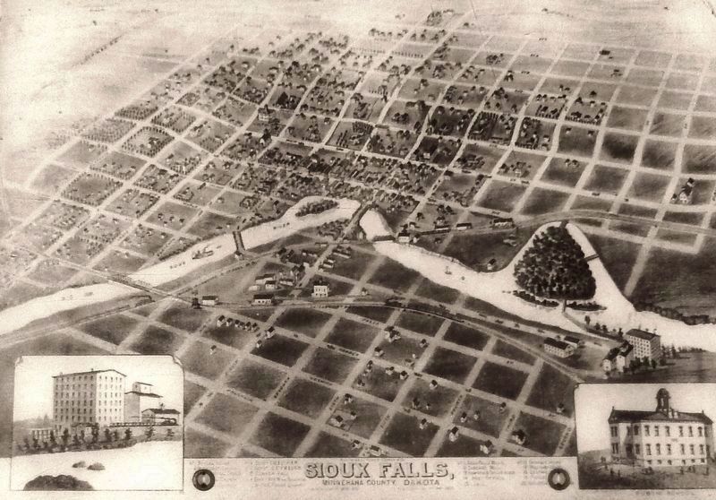
3. Marker detail: In 1881, Sioux Falls was growing up along the Big Sioux River
The Queen Bee Mill was the talk of the region. Railroads brought in settlers and carried out quartzite pavers, polished stone and petrified wood, and grain. In the heart of the river were Seney Island and the falls. Seney Island is the triangular forested area in the engraving above. The mill dam blocks the main river channel, creating, a mill pond.
Credits. This page was last revised on October 22, 2020. It was originally submitted on October 3, 2018, by Cosmos Mariner of Cape Canaveral, Florida. This page has been viewed 429 times since then and 45 times this year. Photos: 1, 2, 3, 4. submitted on October 5, 2018, by Cosmos Mariner of Cape Canaveral, Florida. • Bill Pfingsten was the editor who published this page.


