Point Pleasant in Mason County, West Virginia — The American South (Appalachia)
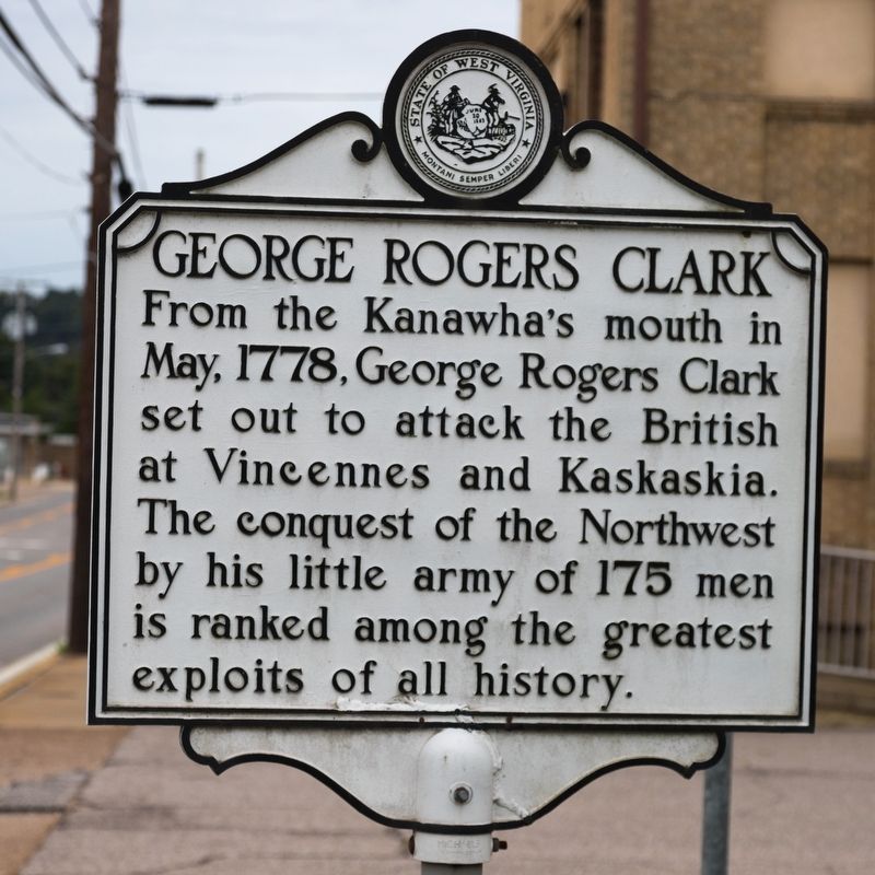
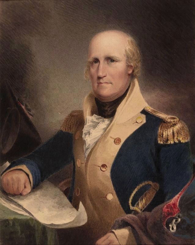
George Rogers Clark
Topics and series. This historical marker is listed in this topic list: War, US Revolutionary. In addition, it is included in the West Virginia Archives and History series list. A significant historical month for this entry is May 1778.
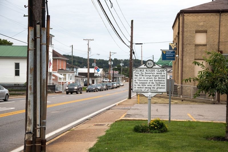
Location. 38° 50.65′ N, 82° 8.241′ W. Marker is in Point Pleasant, West Virginia, in Mason County. Marker is at the intersection of Viand Street (West Virginia Route 62) and 6th Street, on the right when traveling south on Viand Street. Touch for map. Marker is in this post office area: Point Pleasant WV 25550, United States of America. Touch for directions.
Other nearby markers. At least 8 other markers are within walking distance of this marker. Mason County Jail Explosion Memorial (a few steps from this marker); Corner of Sixth and Viand Street (a few steps from this marker); Mason County Memorial Park (within shouting distance of this marker); Gold Star Mothers (within shouting distance of this marker); World War I Memorial (within shouting distance of this marker); Korean and Vietnam Wars Memorial (within shouting distance of this marker); 502 Viand Street (within shouting distance of this marker); World War II Memorial (within shouting distance of this marker). Touch for a list and map of all markers in Point Pleasant.
Regarding George Rogers Clark. The “Kanawha’s mouth” is right here in Point Pleasant, where that river joins the Ohio. Vicennes and Kaskaskia are in Illinois.
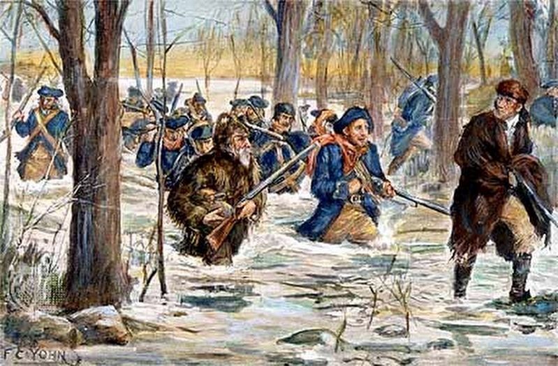
Also see . . . Wikipedia entry for George Rogers Clark. “In July 1778, Clark led the Illinois Regiment of the Virginia State Forces of about 175 men and crossed the Ohio River at Fort Massac and marched to Kaskaskia, capturing it on the night of July 4 without firing their weapons. The next day, Captain Joseph Bowman and his company captured Cahokia in a similar fashion without firing a shot. The garrison at Vincennes along the Wabash River surrendered to Clark in August. Several other villages and British forts were subsequently captured, after most of the French-speaking and Indian inhabitants refused to take up arms on behalf of the British.” (Submitted on October 3, 2018.)
Credits. This page was last revised on October 3, 2018. It was originally submitted on October 3, 2018, by J. J. Prats of Powell, Ohio. This page has been viewed 381 times since then and 20 times this year. Photos: 1, 2, 3, 4. submitted on October 3, 2018, by J. J. Prats of Powell, Ohio.


