Dubois in Clark County, Idaho — The American West (Mountains)
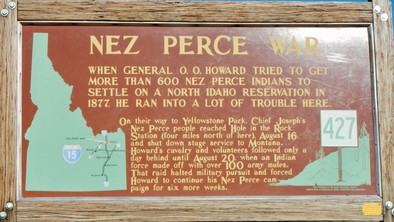
Nez Perce War
On their way to Yellowstone Park, Chief Joseph's Nez Perce people reached Hole in the Rock Station (four miles north of here), August 16, and shut down stage service to Montana. Howard's cavalry and volunteers followed only a day behind until August 20, when an Indian force made off with over 100 army mules. That raid halted military pursuit and forced Howard to continue his Nez Perce campaign for six more weeks.
Erected by Idaho Department of Transportation. (Marker Number 427.)
Topics and series. This historical marker is listed in this topic list: Wars, US Indian. In addition, it is included in the Idaho State Historical Society, and the The Nez Perce Trail series lists. A significant historical date for this entry is August 20, 1877.
Location. 44° 10.662′ N, 112° 14.292′ W. Marker is in Dubois, Idaho, in Clark County. Marker is on A-2 Clark County Road (Main Street) near Interstate 15, on the left when traveling east. Touch for map. Marker is at or near this postal address: 424 Main Street, Dubois ID 83423, United States of America. Touch for directions.
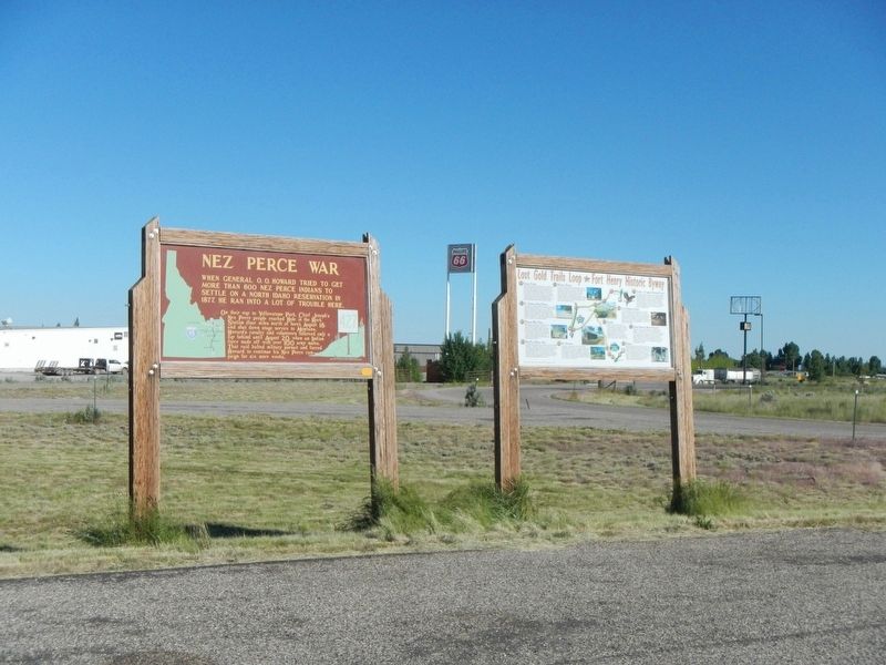
More about this marker. This marker is located in the Dubois Rest Area on the north side of A-2 Clark County Road (Main Street),
Credits. This page was last revised on October 7, 2018. It was originally submitted on October 7, 2018, by Barry Swackhamer of Brentwood, California. This page has been viewed 459 times since then and 40 times this year. Photos: 1, 2, 3. submitted on October 7, 2018, by Barry Swackhamer of Brentwood, California.


