Gravois Park in St. Louis, Missouri — The American Midwest (Upper Plains)
2818-2820 Cherokee Street
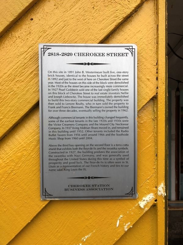
Although commercial tenants in this building changed frequently, some of the earliest tenants in the last 1920s and 1930s were the Victor Creamery Company and the Mound City Neckwear Company. In 1937 Irving Midman Shoes moved in, and remained in this building until 1952. Other tenants included the Radio Buffet Tavern from 1956 until around 1966 and the Southside Music
this page online
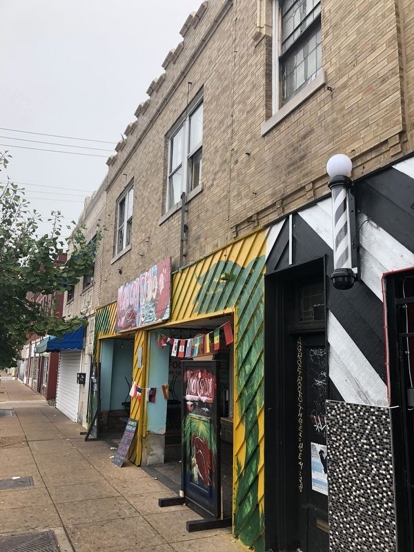
Above the third bay opening on the second door is a terra cotta shield that exhibits both the fleur-de-lis and the swastika symbols. Constructed in 1927, the building predates the swastika with Nazi Germany, and was generally used throughout the United States during this time as a symbol of prosperity and good luck. The fleur-de-lis is often seen in St. Louis as a representation of our French history and ties to our name sake, King Louis the IX.
Erected by Cherokee Station Business Association.
Topics and series. This historical marker is listed in these topic lists: Architecture • Industry & Commerce. In addition, it is included in the Missouri, St. Louis, Cherokee Station Business Association series list. A significant historical year for this entry is 1891.
Location. 38° 35.63′ N, 90° 13.848′ W. Marker is in St. Louis, Missouri. It is in Gravois Park. It is on Cherokee Street west of Oregon Avenue, on the right when traveling west. Touch for map. Marker is at or near this postal address: 2818 Cherokee Street, Saint Louis MO 63118, United States of America. Touch for directions.

Regionally,
Other nearby markers. At least 8 other markers are within walking distance of this marker: 2822-2824 Cherokee (a few steps from this marker); 2817 Cherokee Street (within shouting distance of this marker); 2831-2835 Cherokee Street (within shouting distance of this marker); 3409 California Avenue (within shouting distance of this marker); 2838 Cherokee Street (within shouting distance of this marker); Calle Cherokee (about 300 feet away, measured in a direct line); 2846-2850 Cherokee Street (about 300 feet away); 2731 Cherokee Street (about 400 feet away). Touch for a list and map of all markers in St. Louis.
Credits. This page was last revised on January 30, 2023. It was originally submitted on October 9, 2018, by Devry Becker Jones of Washington, District of Columbia. This page has been viewed 496 times since then and 39 times this year. Photos: 1, 2. submitted on October 9, 2018, by Devry Becker Jones of Washington, District of Columbia. • Bill Pfingsten was the editor who published this page.
