Near Ravenswood in Jackson County, West Virginia — The American South (Appalachia)
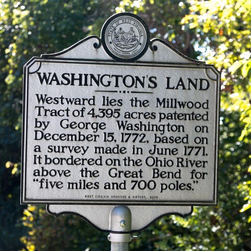
Washington’s Land
Erected 2009 by West Virginia Archives and History.
Topics and series. This historical marker is listed in this topic list: Settlements & Settlers. In addition, it is included in the West Virginia Archives and History series list. A significant historical month for this entry is June 1771.
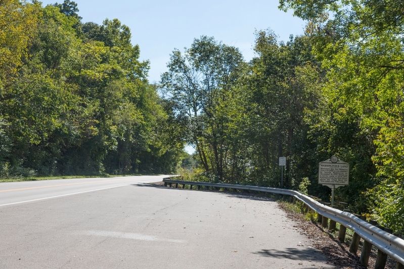
Location. 38° 55.485′ N, 81° 45.407′ W. Marker is near Ravenswood, West Virginia, in Jackson County. Marker is on West Virginia Route 2 south of U.S. 33, on the right when traveling south. It is at a former overlook of the Ohio River that has been overgrown. Touch for map. Marker is in this post office area: Ravenswood WV 26164, United States of America. Touch for directions.
Other nearby markers. At least 8 other markers are within 5 miles of this marker, measured as the crow flies. Russell Eugene Harmon Memorial (approx. 1.2 miles away); Ravenswood / Ohio River Ford (approx. 1.3 miles away); Ravenswood (approx. 1.3 miles away); Hillside Plow (approx. 1.3 miles away); Daniel Frost (approx. 1.3 miles away); George Washington (approx. 1.7 miles away); Battle of Buffington Island (approx. 4.4 miles away); Major Daniel McCook (approx. 4.9 miles away in Ohio). Touch for a list and map of all markers in Ravenswood.
Regarding Washington’s Land. Southwest from this historical marker in West Virginia is the place name Millwood.
700 poles is the equivalent of another 2.1875 miles.
Credits. This page was last revised on May 21, 2022. It was originally submitted on October 9, 2018, by J. J. Prats of Powell, Ohio. This page has been viewed 459 times since then and 58 times this year. Photos: 1, 2. submitted on October 9, 2018, by J. J. Prats of Powell, Ohio.

