Dickson in Dickson County, Tennessee — The American South (East South Central)
Cowan Lumber Company
Dickson Planing Mill Company
—
A.H.Leathers Manufacturing Company
—
Photographed by Darren Jefferson Clay, April 30, 2023
1. Cowan Lumber Company Marker
Inscription.
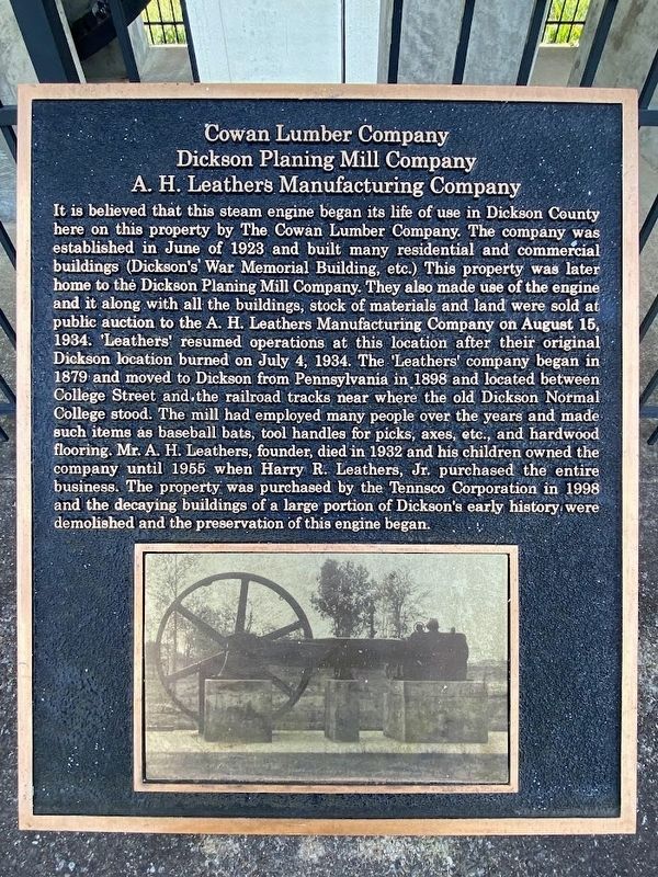
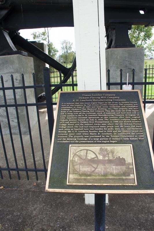
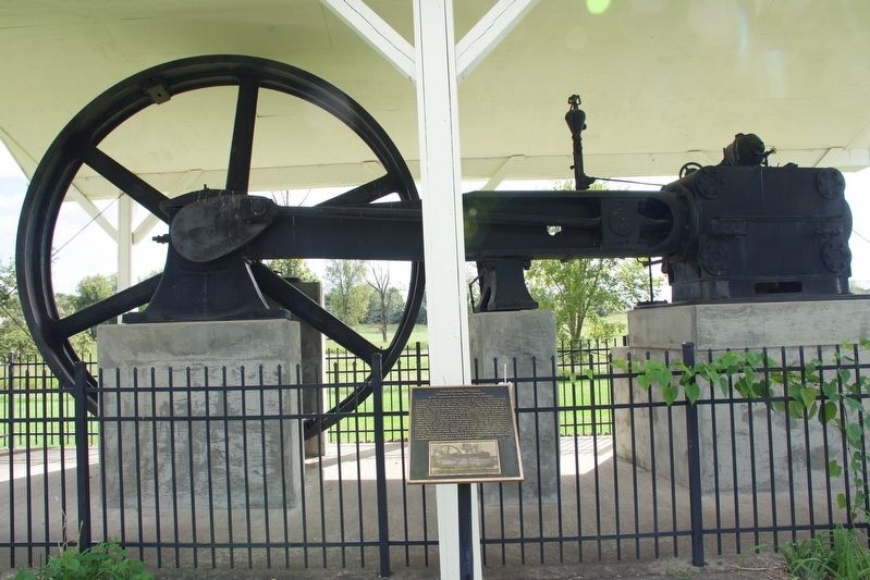
Cowan Lumber Company. Dickson Planing Mill Company. It is believed that this steam engine began its life of use in Dickson County here on this property by The Cowan Lumber Company. The company was established in June of 1923 and built many residential and commercial buildings (Dickson’s War Memorial Building, etc.) This property was later sold to the Dickson Planing Mill Company. They also made use of the engine and it along with all the building, stock of materials and land was sold at public auction to the A. H. Leathers Manufacturing Company on August 15, 1934. ‘Leathers’ resumed operations at this location after their original Dickson location burned on July 4, 1934. The ‘leathers’ company began in 1879 and moved to Dickson from Pennsylvania in 1898 and located between College Street and the railroad tracks near where the Old Dickson Normal College stood. The mill had employed many people over the years and made such items as baseball bats, tool handles for picks, axes, etc., and hardwood flooring. Mr. A. H. Leathers, founder, died 1932 and his children owned the company until 1955 when Harry R. Leathers, Jr. purchased the entire business. This property was purchased by the Tennsco Corporation in 1998 and the decaying buildings of a large portion of Dickson’s early history were demolished and the preservation of this engine began.
It is believed that this steam engine began its life of use in Dickson County here on this property by The Cowan Lumber Company. The company was established in June of 1923 and built many residential and commercial buildings (Dickson’s War Memorial Building, etc.) This property was later sold to the Dickson Planing Mill Company. They also made use of the engine and it along with all the building, stock of materials and land was sold at public auction to the A. H. Leathers Manufacturing Company on August 15, 1934. ‘Leathers’ resumed operations at this location after their original Dickson location burned on July 4, 1934. The ‘leathers’ company began in 1879 and moved to Dickson from Pennsylvania in 1898 and located between College Street and the railroad tracks near where the Old Dickson Normal College stood. The mill had employed many people over the years and made such items as baseball bats, tool handles for picks, axes, etc., and hardwood flooring. Mr. A. H. Leathers, founder, died 1932 and his children owned the company until 1955 when Harry R. Leathers, Jr. purchased the entire business. This property was purchased
Click or scan to see this page online
by the Tennsco Corporation in 1998 and the decaying buildings of a large portion of Dickson’s early history were demolished and the preservation of this engine began.
Location. 36° 4.281′ N, 87° 23.208′ W. Marker is in Dickson, Tennessee, in Dickson County. It is at the intersection of Wade Avenue and East Walnut Street, on the right when traveling north on Wade Avenue. Touch for map. Marker is in this post office area: Dickson TN 37055, United States of America. Touch for directions.
Regionally, this marker is in Middle Tennessee, in the Highland Rim, and in Greater Nashville. It is also in the American South and specifically in the Upper South. Globally, it is in North America, the Western Hemisphere, the Western World, and the Anglosphere. Historically, it finds itself in what was once the territory of the Mississippian Culture, one of the Confederate States of America, and the Antebellum South.
Other nearby markers. At least 8 other markers are within
Credits. This page was last revised on May 4, 2023. It was originally submitted on October 10, 2018, by Sandra Hughes Tidwell of Killen, Alabama, USA. This page has been viewed 859 times since then and 46 times this year. Photos:1. submitted on May 2, 2023, by Darren Jefferson Clay of Duluth, Georgia. 2, 3. submitted on October 10, 2018, by Sandra Hughes Tidwell of Killen, Alabama, USA. • Andrew Ruppenstein was the editor who published this page.