Woodbridge in Middlesex County, New Jersey — The American Northeast (Mid-Atlantic)
Adath Israel Synagogue
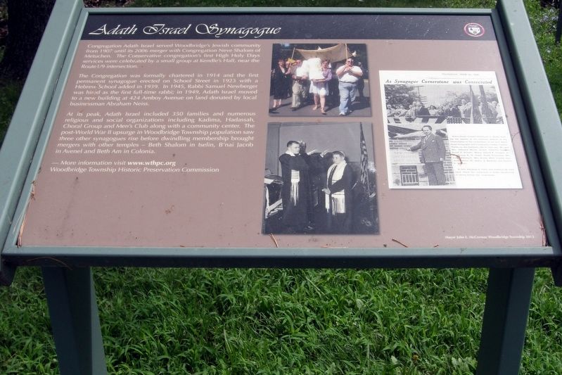
Congregation Adath Israel Synagogue served Woodbridge’s Jewish community from 1907 until its 2006 merger with Congregation Neve Shalom of Metuchen. The Conservative congregation first High Holy Days services were celebrated by a small group at Kendle’s Hall, near the Route 1/9 intersection.
The Congregation was formally chartered in 1914 and the first permanent synagogue erected on School Street in 1923 with a Hebrew School added in 1939. In 1945, Rabbi Samuel Newberger was hired as the first full-time rabbi; in 1949, Adath Israel moved to a new building at 424 Amboy Avenue on land donated by local businessman Abraham Neiss.
At its peak, Adath Israel included 350 families and numerous religious and social organizations including Kadima, Hadassah, Choral Group and Men’s Club along with a community center. The post-World War II upsurge in Woodbridge Townships population saw three other synagogues rise before dwindling membership brought mergers with other temples – Beth Shalom in Iselin, B’nai Jacob in Avenel and Beth Am in Colonia.
More information visit www.wthpc.org
Woodbridge Township Historic Preservation Commission
Erected 2013 by Woodbridge Township Historic Preservation Commission.
Topics. This historical marker is listed in this topic list: Churches & Religion . A significant historical year for this entry is 1907.
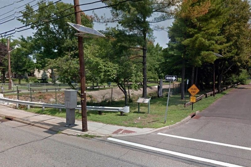
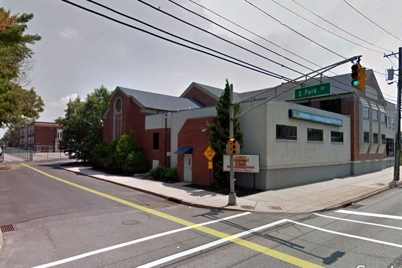
Location. 40° 33.343′ N, 74° 16.998′ W. Marker is in Woodbridge, New Jersey, in Middlesex County. Marker is on Amboy Avenue (Route 35) near S Park Drive, on the right when traveling north. Touch for map. Marker is in this post office area: Woodbridge NJ 07095, United States of America. Touch for directions.
Other nearby markers. At least 8 other markers are within walking distance of this marker. Woodbridge Cloverleaf (a few steps from this marker); Woodbridge (within shouting distance of this marker); The Parish Community of St. James (within shouting distance of this marker); Woodbridge Township COVID-19 Victims Memorial (within shouting distance of this marker); Revolutionary War Battles in Woodbridge (within shouting distance of this marker); Cross Keys Tavern (within shouting distance of this marker); Shinn-Woodbridge Airport (within shouting distance of this marker); Woodbridge Golden Bears (about 300 feet away, measured in a direct line). Touch for a list and map of all markers in Woodbridge.
Credits. This page was last revised on March 2, 2022. It was originally submitted on October 11, 2018, by Larry Gertner of New York, New York. This page has been viewed 323 times since then and 40 times this year. Photos: 1, 2, 3. submitted on October 11, 2018, by Larry Gertner of New York, New York. • Andrew Ruppenstein was the editor who published this page.


