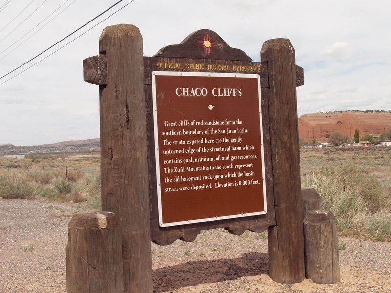
Church Rock in McKinley County, New Mexico — The American Mountains (Southwest)
Chaco Cliffs
Topics. This historical marker is listed in this topic list: Natural Features.
Location. 35° 31.834′ N, 108° 36.449′ W. Marker is in Church Rock, New Mexico, in McKinley County. Marker is at the intersection of I-40 Frontage Road (U.S. 66) and County Road 566, on the right when traveling west on I-40 Frontage Road. Touch for map. Marker is in this post office area: Church Rock NM 87311, United States of America. Touch for directions.
Other nearby markers. At least 8 other markers are within 8 miles of this marker, measured as the crow flies. Gallup (approx. 3.7 miles away); Fort Wingate (approx. 5˝ miles away); Emma Estrada (1933-1997) / Parteras of New Mexico (approx. 6.9 miles away); Navajo Code Talkers (approx. 7˝ miles away); CN Cotton Warehouse (approx. 7˝ miles away); Inter-Tribal Indian Ceremonial (approx. 7˝ miles away); Kitchen's Opera House (approx. 7˝ miles away); Historic Buildings (approx. 7˝ miles away).
Credits. This page was last revised on October 11, 2018. It was originally submitted on October 11, 2018, by Maribeth Robison of Moriarty, New Mexico. This page has been viewed 273 times since then and 23 times this year. Photo 1. submitted on October 11, 2018, by Maribeth Robison of Moriarty, New Mexico. • Andrew Ruppenstein was the editor who published this page.
Editor’s want-list for this marker. Wide shot of the marker showing its surroundings • shot of the back of the marker • Can you help?
