Marker Logo HMdb.org THE HISTORICAL
MARKER DATABASE
“Bite-Size Bits of Local, National, and Global History”
Near Bancroft in Caribou County, Idaho — The American West (Mountains)
 

The Meeting House


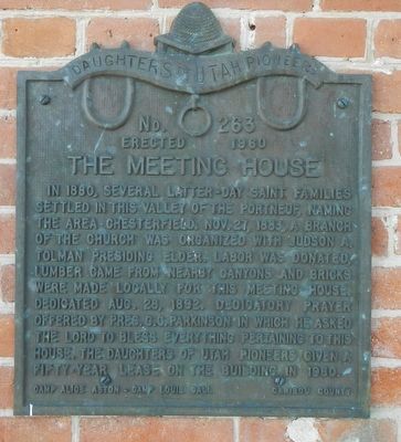
The Meeting House Marker image. Click for full size.
Photographed By Barry Swackhamer, May 13, 2018
1. The Meeting House Marker
Inscription. In 1880, several Latter-Day Saint families settled in this valley of the Portneuf, naming the area Chesterfield. Nov. 27, 1883, a branch of the Church was organized with Judson A. Tolman presiding Elder. Labor was donated, lumber came from nearby canyons and bricks were made locally for this Meeting House. Dedicated Aug. 28, 1892. Dedicatory prayer offered by Pres. C.C. Parkinson in which he asked the Lord to bless everything pertaining to this house. The Daughters of Utah Pioneers given a fifty-year lease on this building in 1960.
 
Erected 1960 by Daughters of Utah Pioneers, Camp Alice Aston & Camp Louie Call, Caribou County. (Marker Number 263.)
 
Topics and series. This historical marker is listed in these topic lists: Churches & ReligionSettlements & Settlers. In addition, it is included in the Daughters of Utah Pioneers series list. A significant historical date for this entry is November 27, 1883.
 
Location. 42° 51.863′ N, 111° 54.263′ W. Marker is near Bancroft, Idaho, in Caribou County. Marker can be reached from Chesterfield Road near 24 Mile Road, on the left when traveling north. Touch for map. Marker is in this post office area: Bancroft ID 83217, United States of America. Touch for directions.
 
Other nearby markers. At least 5 other markers are within 12 miles of this marker, measured as the crow flies. Oregon Trail Campsite (a
Paid Advertisement
Click on the ad for more information.
Please report objectionable advertising to the Editor.
Click or scan to see
this page online
few steps from this marker); Settlement Along the Trail (within shouting distance of this marker); Historic Chesterfield (approx. 0.4 miles away); Bancroft's First School (approx. 10.1 miles away); Ivins Pioneer Cemetery (approx. 11.3 miles away).
 
More about this marker. All the roads in Chesterfield are identified as Chesterfield Road. The marker is mounted on the front of the church meeting hall.
 
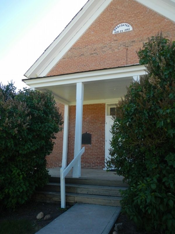
The Meeting House Marker image. Click for full size.
Photographed By Barry Swackhamer, May 13, 2018
2. The Meeting House Marker
The marker is to the left of the entrance.
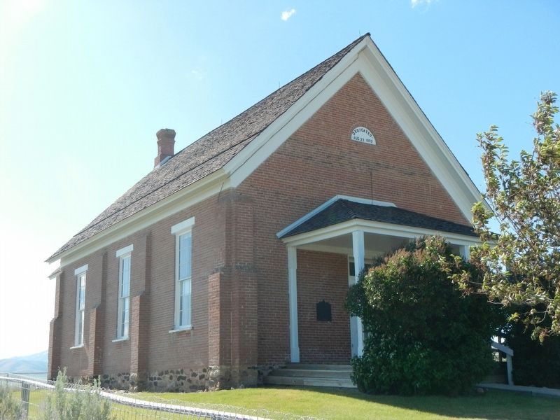
The Meeting House image. Click for full size.
Photographed By Barry Swackhamer, May 14, 2018
3. The Meeting House
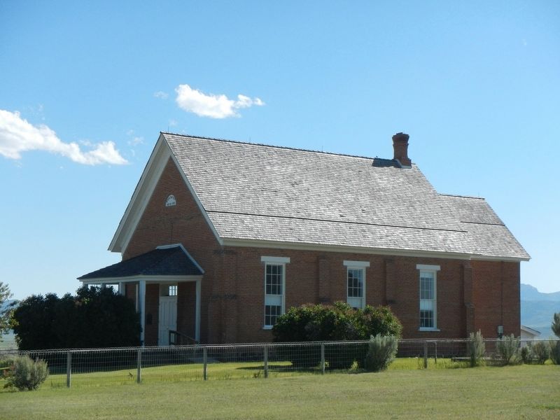
The Meeting House image. Click for full size.
Photographed By Barry Swackhamer, May 14, 2018
4. The Meeting House
 
 
Credits. This page was last revised on October 11, 2018. It was originally submitted on October 11, 2018, by Barry Swackhamer of Brentwood, California. This page has been viewed 145 times since then and 11 times this year. Photos:   1, 2, 3, 4. submitted on October 11, 2018, by Barry Swackhamer of Brentwood, California.
Share this page.  
Share on Tumblr
m=124581

CeraNet Cloud Computing sponsors the Historical Marker Database.
This website earns income from purchases you make after using our links to Amazon.com. We appreciate your support.
Paid Advertisement
Apr. 23, 2024