Near Custer in Custer County, South Dakota — The American Midwest (Upper Plains)
Civilian Conservation Corps Camp
Camp SP-3 / Camp Narrows
— French Creek —
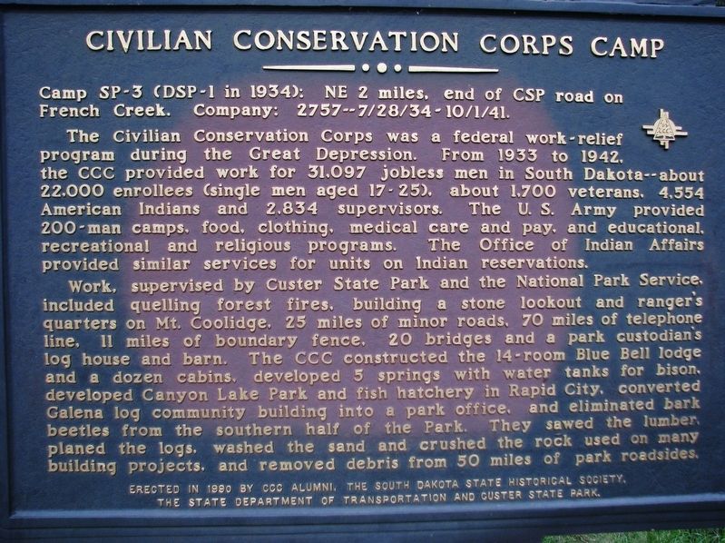
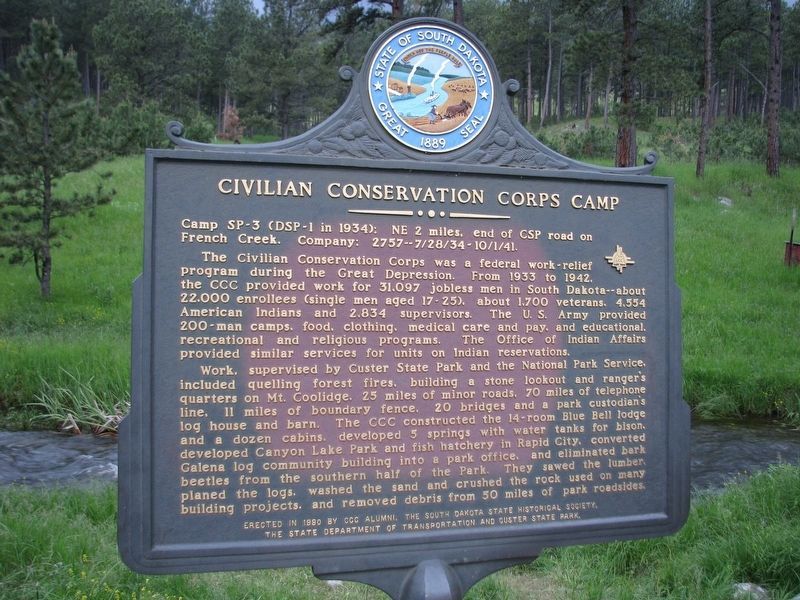
French Creek. Company: 2757 - 7/28/34-10/1/41.
The Civilian Conservation Corps was a federal work-relief program during the Great Depression. From 1933 to 1942, the CCC provided work for 31,097 jobless men in South Dakota - about 22,000 enrollees (single men aged 17-25), 1700 war veterans, 4554 American Indians and 2834 supervisors. The U.S. Army provided 200-man 57 camps, food, clothing, medical care and pay, and educational, recreational, and religious programs. The Office of Indian Affairs provided similar services for units on Indian reservations.
Work, supervised by Custer State Park and the National Park Service, included quelling forest fires, building a stone lookout and ranger’s quarters on Mt. Coolidge, 25 miles of minor roads, 70 miles of telephone line, 11 miles of boundary fence, 20 bridges and a park custodian’s log house and barn. The CCC constructed the 14-room Blue Bell lodge and a dozen cabins, developed 5 springs with water tanks for bison, developed Canyon Lake Park and fish hatchery in Rapid City, converted Galena log community building into a park office, and eliminated bark beetles from the southern half of the Park. They sawed the lumber, planed the logs, washed the sand and crushed the rock used on many building projects, and removed debris from 50 miles of park roadsides.
Erected 1990 by CCC Alumni, South Dakota State Historical Society, South Dakota Department of Transportation, and Custer State Park. (Marker Number 516.)
Topics and series. This historical marker is listed in these topic lists: Charity & Public Work • Notable Places • Parks & Recreational Areas. In addition, it is included in the Civilian Conservation Corps (CCC), and the South Dakota State Historical Society Markers series lists. A significant historical year for this entry is 1934.
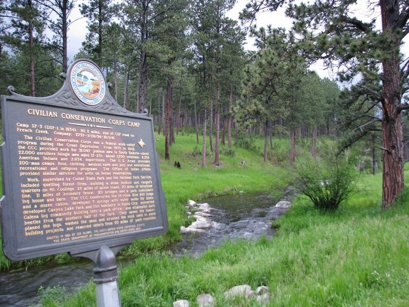
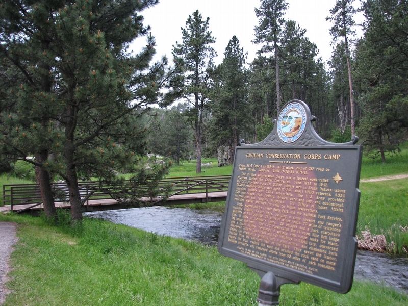
Location. 43° 43.081′ N, 103° 29.341′ W. Marker is near Custer, South Dakota, in Custer County. Marker is on State Highway 87, half a mile north of Lame Johnny Road, on the left when traveling north. Marker is located beside the Blue Bell Area parking lot, on the west side of the highway, overlooking French Creek. Touch for map. Marker is at or near this postal address: 25446 South Dakota Highway 87, Custer SD 57730, United States of America. Touch for directions.
Other nearby markers. At least 8 other markers are within 4 miles of this marker, measured as the crow flies. Fire Tower Lookouts (approx. 1.9 miles away); A Cowboy Poet Lives Among the Pines (approx. 3 miles away); The Good Life of a Poet Laureate
(approx. 3 miles away); A Life of Peace and Solitude (approx. 3.1 miles away); Leaving Prints on the Pages of History (approx. 3.1 miles away); Life Has Its Ups and Downs (approx. 3.1 miles away); “The Badger Hole” (approx. 3.1 miles away); Everyone has a Beginning (approx. 3.1 miles away). Touch for a list and map of all markers in Custer.
More about this marker. This marker is included in the Civilian Conservation Corps marker series
Also see . . . South Dakota Civilian Conservation Corps (CCC) Camp Narrows was located in Custer State Park. (This link presents a photo of the CCC Boys of Company 2757.) Camp Narrows was at first called "Robber's Roost," and later was sometimes called Blue Bell. Located in Custer Park, it was built on the bank of French Creek in a natural bowl surrounded by three heavily timbered hills. When completed, the walk around the parade ground was 1/4 mile long (1935). There are very few areas of Custer State Park that do not showcase roads, structures (still in use) and artifacts of the work done by the CCC Boys. (Submitted on October 12, 2018, by Cosmos Mariner of Cape Canaveral, Florida.)
Credits. This page was last revised on October 14, 2018. It was originally submitted on October 11, 2018, by Cosmos Mariner of Cape Canaveral, Florida. This page has been viewed 237 times since then and 28 times this year. Photos: 1, 2, 3, 4, 5. submitted on October 12, 2018, by Cosmos Mariner of Cape Canaveral, Florida. • Andrew Ruppenstein was the editor who published this page.


