St. Charles in St. Charles County, Missouri — The American Midwest (Upper Plains)
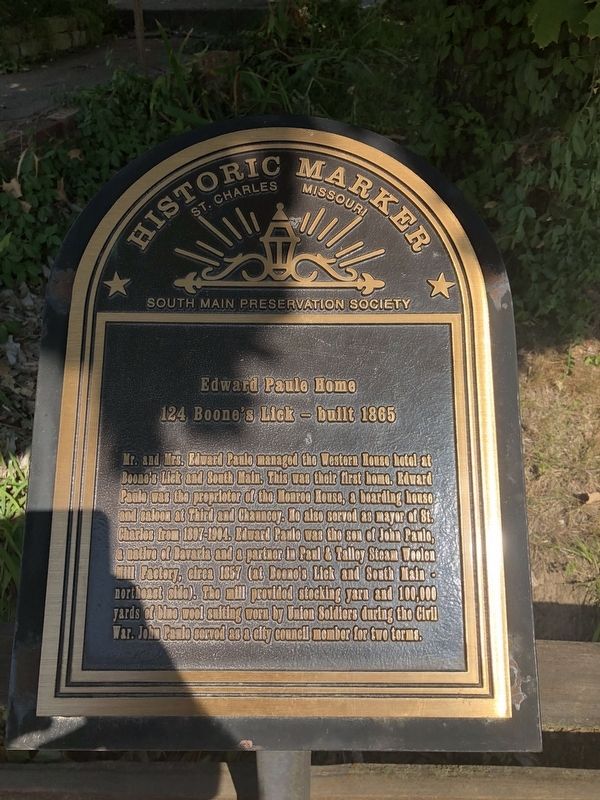
Edward Paule Home
124 Boone's Licke - buit 1865
— Historic Marker, St. Charles, Missouri —
Erected by South Main Preservation Society.
Topics. This historical marker is listed in these topic lists: Government & Politics • Industry & Commerce • War, US Civil. A significant historical year for this entry is 1865.
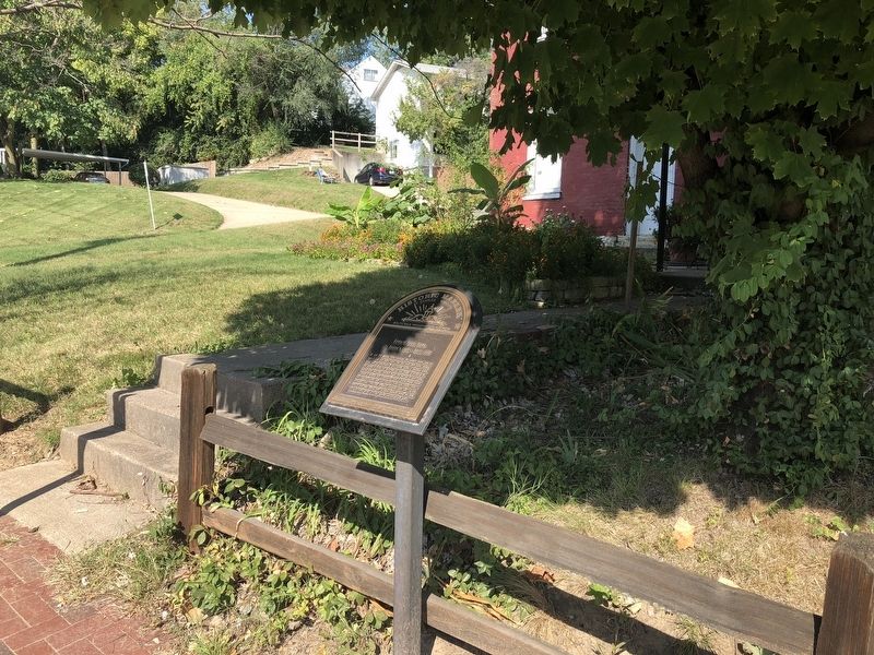
Location. 38° 46.454′ N, 90° 29.159′ W. Marker is in St. Charles, Missouri, in St. Charles County. Marker is on Boone's Lick Road east of South 2nd Street, on the right when traveling west. Touch for map. Marker is at or near this postal address: 124 Boone's Lick Road, Saint Charles MO 63301, United States of America. Touch for directions.
Other nearby markers. At least 8 other markers are within walking distance of this marker. 921 South Riverside Drive (about 300 feet away, measured in a direct line); Home of Don Carlos Tayon (about 400 feet away); Missouri (about 500 feet away); 25th Anniversary (about 600 feet away); The Lewis and Clark Expedition Rendezvous Site (about 800 feet away); The Trail to Fort Osage (about 800 feet away); The Plank Road (approx. 0.2 miles away); Ezra Overall House (approx. 0.2 miles away). Touch for a list and map of all markers in St. Charles.
Credits. This page was last revised on October 14, 2018. It was originally submitted on October 13, 2018, by Devry Becker Jones of Washington, District of Columbia. This page has been viewed 286 times since then and 37 times this year. Photos: 1, 2. submitted on October 13, 2018, by Devry Becker Jones of Washington, District of Columbia. • Bernard Fisher was the editor who published this page.

