St. Charles in St. Charles County, Missouri — The American Midwest (Upper Plains)
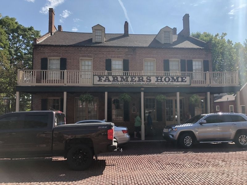
Farmer's Home
circa 1805
| — | Historic Marker, St. Charles, Missouri | — |
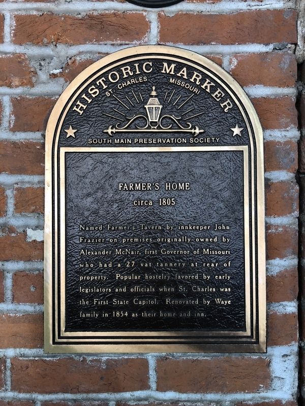
Erected by South Main Preservation Society.
Topics. This historical marker is listed in these topic lists: Government & Politics • Industry & Commerce. A significant historical year for this entry is 1805.
Location. 38° 46.576′ N, 90° 29.028′ W. Marker is in St. Charles, Missouri, in St. Charles County. It is on South Main Street south of Perry Street, on the right when traveling north. Touch for map. Marker is at or near this postal address: 700 South Main Street, Saint Charles MO 63301, United States of America. Touch for directions.

Regionally, this marker is in the Missouri River Corridor and in Greater St. Louis. It is also in the American Midwest, in the Lewis & Clark Corridor, in the Corn Belt, and in the Great River Road Region. Globally, it is in North America, the
this page online
Other nearby markers. At least 8 other markers are within walking distance of this marker: St. Louis, St. Charles and Spain During the American Revolution (a few steps from this marker); Collier Cottage (within shouting distance of this marker); First Methodist Church (within shouting distance of this marker); The Trail to Fort Osage (within shouting distance of this marker); The Lewis and Clark Expedition Rendezvous Site (within shouting distance of this marker); Glenday / Zeisler Home (about 300 feet away, measured in a direct line); Lewis & Clark Monument (about 400 feet away); The Mother-in-Law House (about 500 feet away). Touch for a list and map of all markers in St. Charles.
Another marker is no longer nearby. The Lewis and Clark Expedition Across Missouri (was about 300 feet away but has been confirmed missing).
Credits. This page was last revised on October 17, 2018. It was originally submitted on October 13, 2018, by Devry Becker Jones of Washington, District of Columbia. This page has been viewed 879 times since then and 109 times this year. Photos: 1, 2. submitted on October 13, 2018, by Devry Becker Jones of Washington, District of Columbia. • Andrew Ruppenstein was the editor who published this page.
