
St. Charles in St. Charles County, Missouri — The American Midwest (Upper Plains)
136 South Main
Gut Building/Post Office 1900-09 • Cosmos Building 1886
| — | 1882 • Frederick Gut | — |
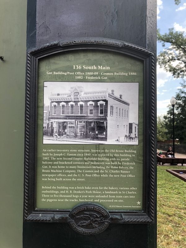
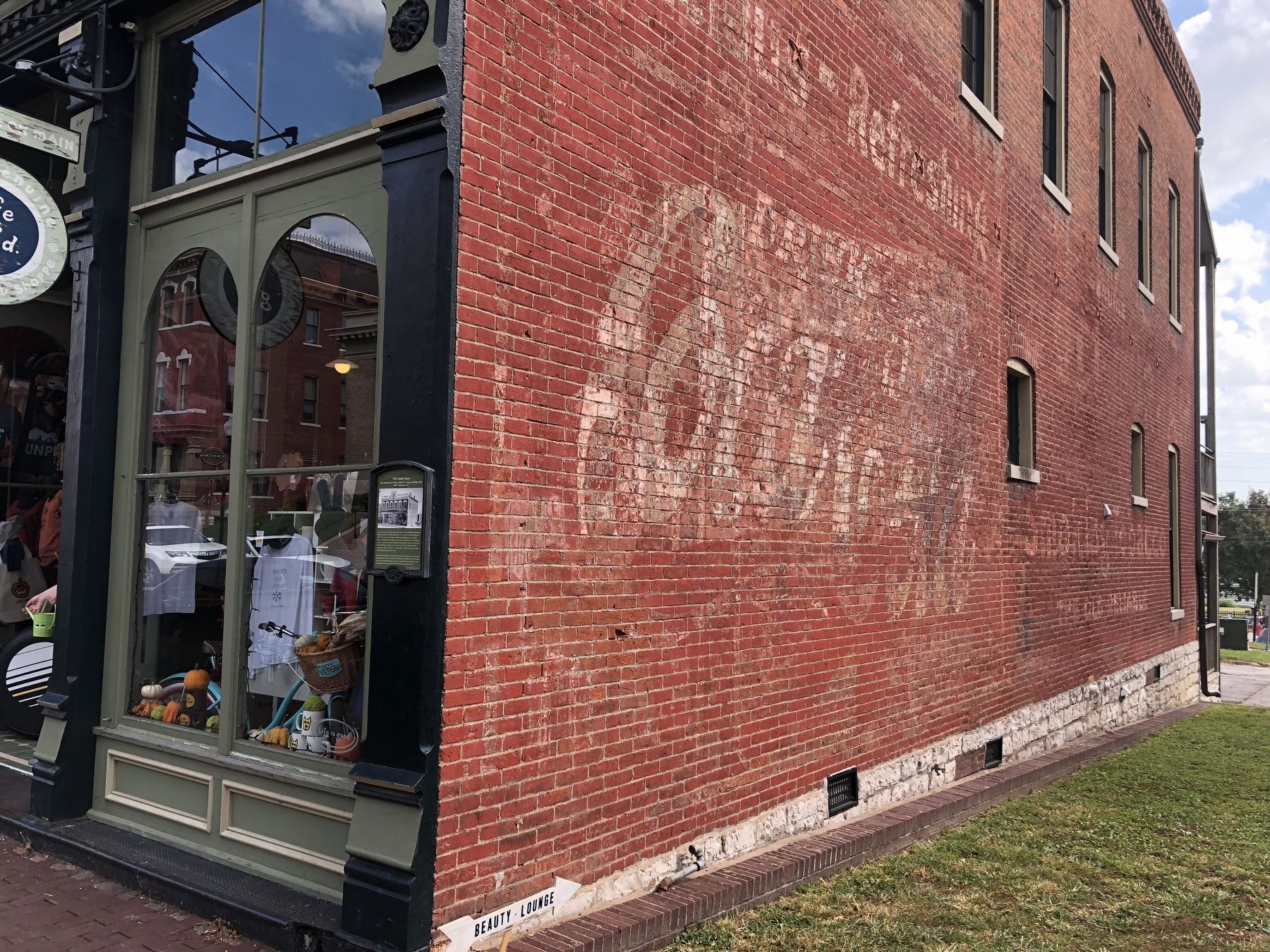
An earlier two-story structure, known as the Old Benne Building built by Joseph C. Easton circa 1840, was replaced by this building in 1882. The new Second Empire /Italianate building with its parade balcony and bracketed cornices and pediments was built by Frederick Gut. It was home to many businesses including the Hahn Bakery, the Bruns Machine Company, The Cosmos and the St. Charles Banner newspaper offices, and the U.S. Post Office while the new Post Office was being built across the street.
Behind the building was a brick bake oven for the bakery, various other outbuildings, and H. B. Denker's Pork House, a landmark in St. Charles. Three to five-thousand hogs a year were unloaded from train cars into the pigpens near the tracks, butchered, and processed on site.
Erected 2010 by Historic Downtown Association.
Topics and series. This historical marker is listed in these topic lists: Architecture • Industry & Commerce. In addition, it is included in the Postal Mail and Philately series list. A significant historical year for this entry is 1840.
Location. 38° 46.823′ N, 90° 28.903′ W. Marker is in St. Charles,
this page online

Regionally, this marker is in the Missouri River Corridor and in Greater St. Louis. It is also in the American Midwest, in the Lewis & Clark Corridor, in the Corn Belt, and in the Great River Road Region. Globally, it is in North America, the Western Hemisphere, the Western World, and the Anglosphere. Historically, it finds itself in what was once the territory of the Mississippian Culture, the Louisiana Purchase, and the Antebellum South.
Other nearby markers. At least 8 other markers are within walking distance of this marker: 130 South Main (a few steps from this marker); 119 South Main (within shouting distance of this marker); First Missouri State Capitol Buildings (within shouting distance of this marker); 122 South Main (within shouting distance of this marker); 116-120 South Main (within shouting distance
Credits. This page was last revised on October 1, 2023. It was originally submitted on October 13, 2018, by Devry Becker Jones of Washington, District of Columbia. This page has been viewed 300 times since then and 26 times this year. Photos: 1, 2. submitted on October 13, 2018, by Devry Becker Jones of Washington, District of Columbia. • Andrew Ruppenstein was the editor who published this page.
