Coventry in West Midlands, England, United Kingdom — Northwestern Europe (the British Isles)
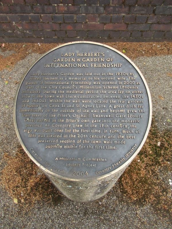
Lady Herbert’s Garden
Photographed by Michael Herrick, August 11, 2018
1. Lady Herbert’s Garden Marker
Garden & Garden of
International Friendship
Coventry City Council 2004 Coventry Phoenix Initiative
Erected 2004 by the Coventry City Council & Coventry Phoenix Initiative.
Topics. This historical marker
this page online
Location. 52° 24.664′ N, 1° 30.465′ W. Marker is in Coventry, England, in West Midlands. It is at the intersection of Hales Street and Fairfax Street, on the left when traveling north on Hales Street. Touch for map. Marker is in this post office area: Coventry, England CV1 1JD, United Kingdom. Touch for directions.

Regionally, this marker is in the Midlands. Globally, it is on the Atlantic Ocean, in the North Atlantic Region, in Europe, in Atlantic Europe, on one of the British Isles, in the Western World, and in the Anglosphere. Historically, it finds itself in what was once the Roman Empire.
Other nearby markers. At least 8 other markers are within walking distance of this marker: Swanswell Gate (within shouting distance of this marker); Sir Frank Whittle (about 90 meters away, measured in a direct line); The Coventry Theatre (about 120 meters away); The Cloister (about 210 meters away); The North West Tower (about 240 meters away); Blue Coat School (about 240 meters away); Pier 3 North (about 240 meters away);
Photographed by Michael Herrick, August 11, 2018
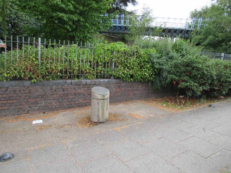
2. Lady Herbert’s Garden Marker
Also see . . . Lady Herbert’s Garden on Wikipedia. (Submitted on October 15, 2018, by Michael Herrick of Southbury, Connecticut.)
Photographed by Michael Herrick, August 11, 2018
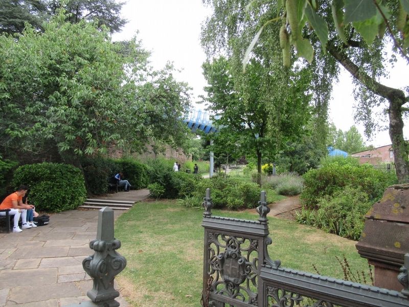
3. Lady Herbert’s Garden
Credits. This page was last revised on January 27, 2022. It was originally submitted on October 15, 2018, by Michael Herrick of Southbury, Connecticut. This page has been viewed 189 times since then and 16 times this year. Photos: 1, 2, 3. submitted on October 15, 2018, by Michael Herrick of Southbury, Connecticut.
