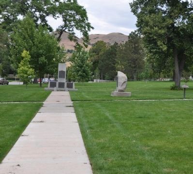
Capitol Hill in Salt Lake City in Salt Lake County, Utah — The American Mountains (Southwest)
Ensign Peak
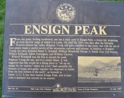
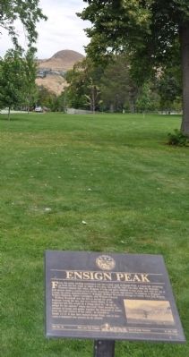
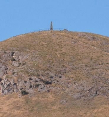
Wilford Woodruff was the first to ascend the peak, Brigham Young the last,due to a recent illness. It was suggested that this would be a fitting place to "set up an ensign for the nations" where the Lord "shall assemble the outcasts of Israel, and gather together the dispersed of Judah from the four corners of the earth" as foretold in Isaiah 11:12. It was then named Ensign Peak, and in later years a standard was erected on its summit.
Erected 1989 by Sons of Utah Pioneers - Salt Lake Chapter. (Marker Number 23.)
Topics. This historical marker is listed in these topic lists: Exploration • Settlements & Settlers. A significant historical date for this entry is July 26, 1847.
Location. 40° 46.595′ N, 111° 53.42′ W. Marker is in Salt Lake City, Utah, in Salt Lake County. It is in Capitol Hill. Marker is at the intersection of Columbus Street and 300 North, on the right when traveling north on Columbus Street. Touch for map. Marker is in this post office area: Salt Lake City UT 84103, United States of America. Touch for directions.
Other nearby markers. At least 8 other markers are within walking distance of this marker. The Constitution Revered (here, next to this marker); Lest We Forget (within shouting distance of this marker); Eliza R. Snow - Leader of Pioneer Women (within shouting distance of this marker); Pioneer Memorial Museum (within shouting distance of this marker); Thomas L. Kane and the Mormons (within shouting distance of this marker); Old City Hall (about 800 feet away, measured in a direct line); Council Hall (about 800 feet away); Daniel Cowan Jackling (approx. 0.2 miles away). Touch for a list and map of all markers in Salt Lake City.
Credits. This page was last revised on May 13, 2023. It was originally submitted on September 2, 2010, by Bryan R. Bauer of Kearns, Ut 84118. This page has been viewed 1,315 times since then and 22 times this year. Last updated on October 15, 2018, by Andrew Johnson of Salt Lake City, Utah. Photos: 1. submitted on September 2, 2010, by Bryan R. Bauer of Kearns, Ut 84118. 2. submitted on May 13, 2023, by Jason Voigt of Glen Carbon, Illinois. 3. submitted on September 2, 2010, by Bryan R. Bauer of Kearns, Ut 84118. 4. submitted on September 14, 2010, by Bryan R. Bauer of Kearns, Ut 84118. 5. submitted on September 2, 2010, by Bryan R. Bauer of Kearns, Ut 84118. • Bill Pfingsten was the editor who published this page.
