Leicester, England, United Kingdom — Northwestern Europe (the British Isles)
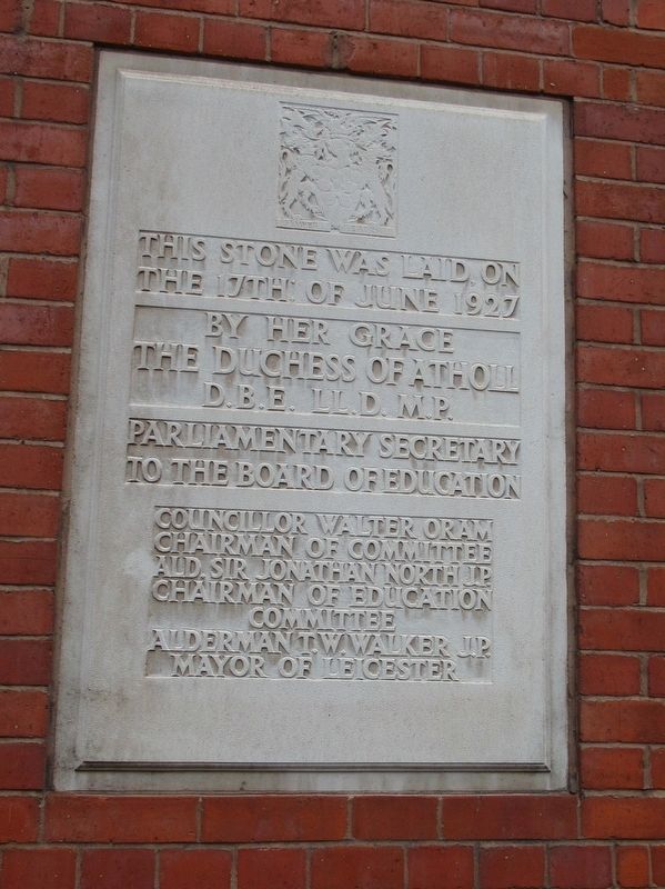
This Stone
Photographed by Michael Herrick, August 12, 2018
1. This Stone Marker
the 17th of June 1927
by Her Grace
The Duchess of Atholl
D.B.E. LL.D. MP.
Parliamentary Secretary
to the Board of Education
Councillor Walter Oram
Chairman of Committee
Ald. Sir Jonathan North J.P.
Chairman of Education
Committee
Alderman T.W. Walker J.P.
Mayor of Leicester
Topics. This historical marker is listed in this topic list: Education. A significant historical date for this entry is June 17, 1927.
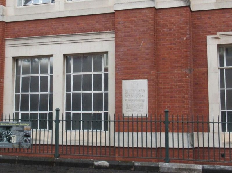
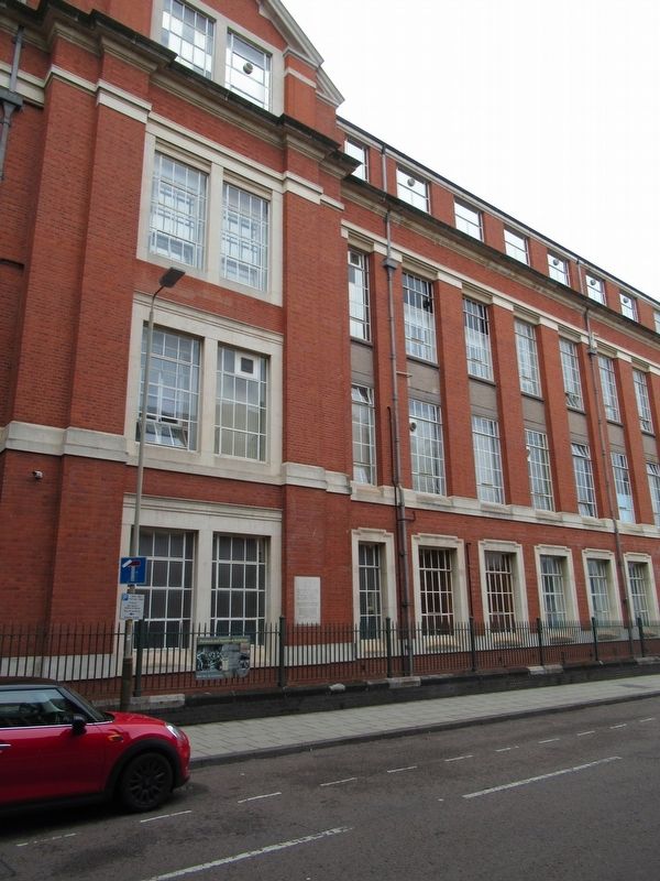
Location. 52° 37.85′ N, 1° 8.404′ W. Marker is in Leicester, England. It is at the intersection of The Gateway and The Newarke, on the right when traveling north on The Gateway. Located next to the Hawthorn Building on the campus of De Montfort University. Touch for map. Marker is in this post office area: Leicester, England LE2 7LQ, United Kingdom. Touch for directions.

Regionally, this marker is in the Midlands. Globally, it is on the Atlantic Ocean, in the North Atlantic Region, in Europe, in Atlantic Europe, on one of the British Isles, in the Western World, and in the Anglosphere. Historically, it finds itself in what was once the Roman Empire.
Other nearby markers. At
this page online
Also see . . . De Montfort University. (Submitted on October 17, 2018, by Michael Herrick of Southbury, Connecticut.)
Photographed by Michael Herrick, August 12, 2018
2. This Stone Marker
Photographed by Michael Herrick, August 12, 2018
3. This Stone Marker
Credits. This page was last revised on January 27, 2022. It was originally submitted on October 17, 2018, by Michael Herrick of Southbury, Connecticut. This page has been viewed 227 times since then and 22 times this year. Photos: 1, 2, 3. submitted on October 17, 2018, by Michael Herrick of Southbury, Connecticut.
