
Leicester City Centre , England, United Kingdom — Northwestern Europe (the British Isles)
Medieval Streets
Medieval Leicester
Photographed by Michael Herrick, August 12, 2018
1. Medieval Streets Marker
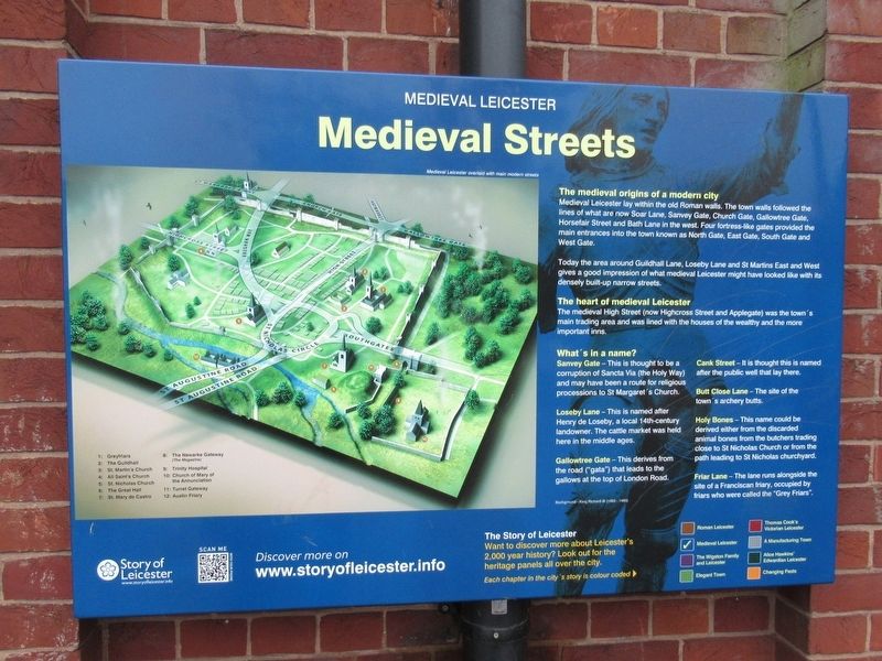
The Medieval origins of a modern city
Medieval Leicester lay within the old Roman walls. The town walls followed the lines of what are now Soar Lane, Sanvey Gate, Church Gate, Gallowtree Gate, Horsefair Street and Bath Lane in the west. Four fortress-like gates provided the main entrances into the town known as North Gate, East Gate, South Gate and West Gate.
Today the area around Guildhall Lane, Loseby Lane and St Martins East and West gives a good impression of what medieval Leicester might have looked like with its densely built-up narrow streets.
The heart of medieval Leicester
The medieval High Street (now Highcross Street and Applegate) was the town’s main trading area and was lined with the houses of the wealthy and the more important inns.
What’s in a name?
Sanvey Gate – This is thought to be a corruption of Sancta Via (the Holy Way) and may have been a route for religious processions to St Margaret’s Church
Loseby Lane – This is named after Henry de Loseby, a local 14th-century landowner. The cattle market was held here in the middle ages.
Gallowtree Gate – This derives from the road
this page online
Cank Street – It is thought this is named after the public well that lay here.
Butt Close Lane – The site of the town’s archery butts.
Holy Bones – This name could be derived either from the discarded animal bones from the butchers trading close to St Nicholas Church or from the path leading to St Nicholas churchyard.
Friar Lane – The lane runs alongside the site of a Franciscan friary, occupied by friars who were called the “Grey Friars”.
Topics. This historical marker is listed in this topic list: Roads & Vehicles.
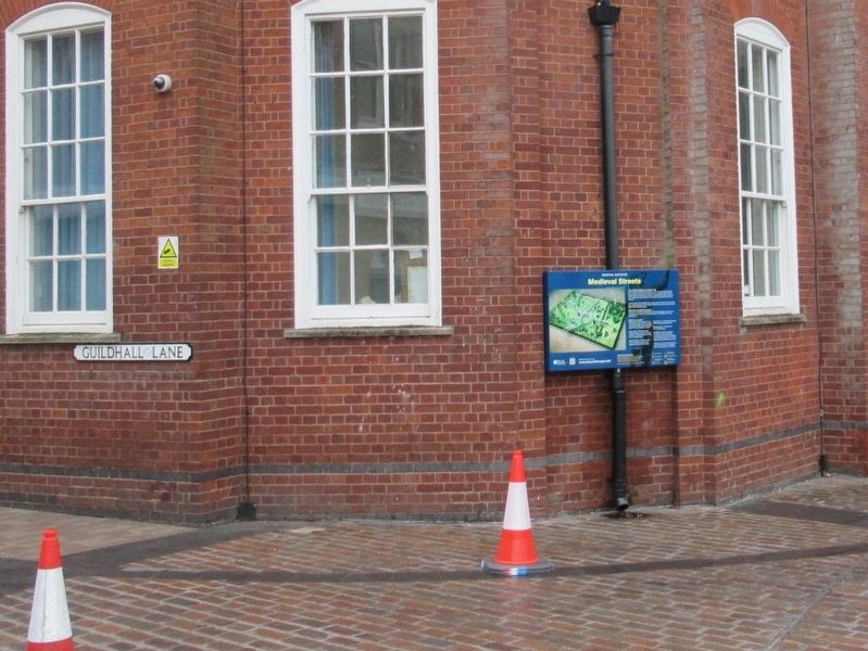
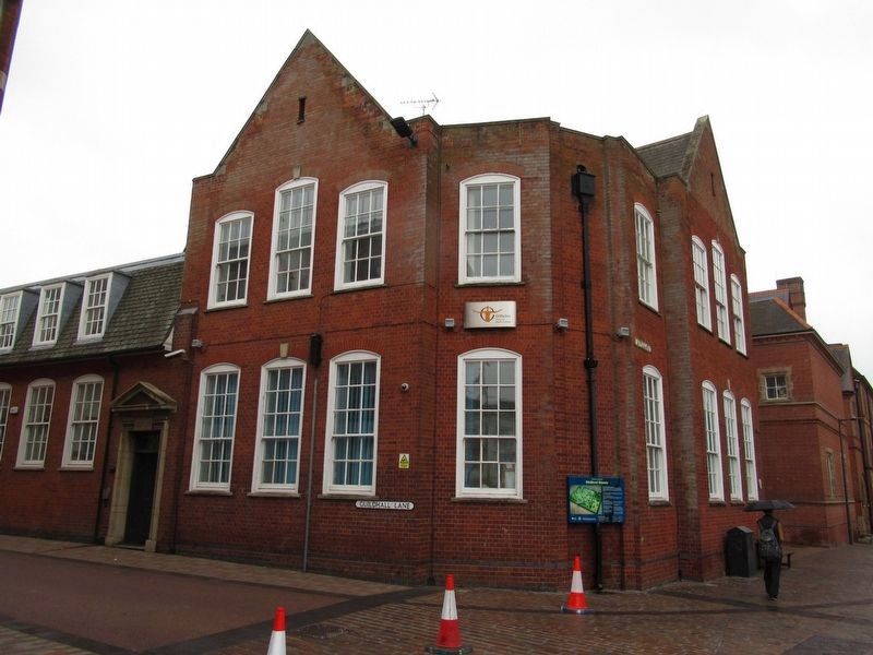
Location. 52° 38.079′ N, 1° 8.299′ W. Marker is in Leicester, England. It is in Leicester City Centre. It is on Applegate close to Guildhall Lane, on the right when traveling north. Located on St Martins House. Touch for map. Marker is at or near this postal address: 1 St Nicholas Pl, Leicester, England LE1 5LD, United Kingdom. Touch for directions.

Regionally, this marker is in England’s Midlands. Globally, it is on the Atlantic Ocean, in the North Atlantic Region, in Europe,
Photographed by Michael Herrick, August 12, 2018
2. Medieval Streets Marker
Other nearby markers. At least 8 other markers are within walking distance of this marker: Visit of the Queen (a few steps from this marker); BBC Radio Leicester (within shouting distance of this marker); BBC Asian Network (within shouting distance of this marker); Leicester Automaton Clock (within shouting distance of this marker); Restoration of Leicester Guildhall (within shouting distance of this marker); Weather Vane (within shouting distance of this marker); Guildhall (within shouting distance of this marker); Forum and Basilica (within shouting distance of this marker). Touch for a list and map of all markers in Leicester.
Also see . . . St Martins House. (Submitted on October 17, 2018, by Michael Herrick of Southbury, Connecticut.)
Photographed by Michael Herrick, August 12, 2018
3. Medieval Streets Marker
Credits. This page was last revised on June 9, 2025. It was originally submitted on October 17, 2018, by Michael Herrick of Southbury, Connecticut. This page has been viewed 357 times since then and 36 times this year. Photos: 1, 2, 3. submitted on October 17, 2018, by Michael Herrick of Southbury, Connecticut.
