Ruddle in Pendleton County, West Virginia — The American South (Appalachia)
Organized Pendleton County
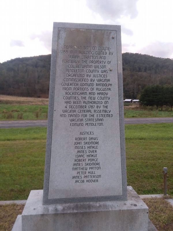
Photographed by Roger Miller, October 18, 2018
1. Organized Pendleton County Marker
On this site on 2 June 1788 in a building owned by Seriah Stratton and formerly the property Col. Benjamin Wilson. Pendleton County was organized by justices commissioned by Virginia Governor Edmund Randolph from portions of Augusta, Rockingham and Hardy Counties. The new county had been authorized on 4 December 1787 by the Virginia General Assembly and named for the esteemed Virginia statesman Edmund Pendleton.
Justices
Robert Davis • John Skidmore • Moses Hinkle • James Dyer • Isaac Hinkle • Robert Poage • James Skidmore • Matthew Patton • Peter Hull • James Paterson • Jacob Hoover
Topics. This historical marker is listed in this topic list: Government & Politics. A significant historical date for this entry is June 2, 1788.
Location. 38° 42.724′ N, 79° 18.502′ W. Marker is in Ruddle, West Virginia, in Pendleton County. It is on Petersburg Pike (U.S. 220), on the left when traveling north. Touch for map. Marker is in this post office area: Franklin WV 26807, United States of America. Touch for directions.

Regionally, this marker is in the Potomac Highlands. It is also in the American South, specifically in the Upper
this page online
Other nearby markers. At least 8 other markers are within 5 miles of this marker, measured as the crow flies: A different marker also named Murder of Ambrose Meadows (approx. 2.8 miles away); Franklin High School Cupola (approx. 4.3 miles away); McCoy House (approx. 5 miles away); Franklin (approx. 5 miles away); William McCoy House (approx. 5 miles away); Pendleton County Court House (approx. 5 miles away); Pendleton County World War I Memorial (approx. 5 miles away); Civil War Soldiers Monument (approx. 5 miles away).
Another marker is no longer nearby. Murder of Ambrose Meadows (was approx. 2.8 miles away but has been replaced with another marker now near it).
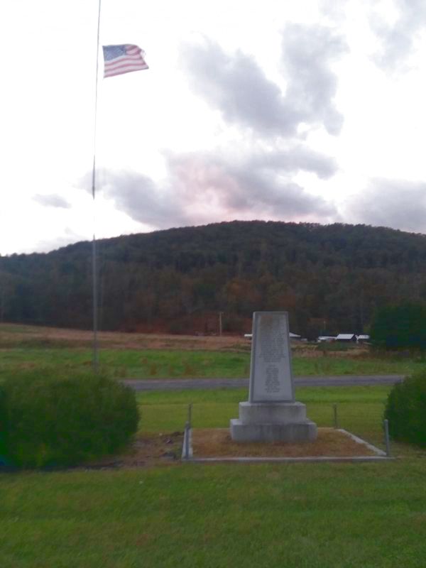
Photographed by Roger Miller, October 17, 2018
2. Organized Pendleton County Marker
Credits. This page was last revised on August 4, 2026. It was originally submitted on October 18, 2018, by Roger Miller of Pulaski, Virginia. This page has been viewed 837 times since then and 61 times this year. Photos: 1, 2. submitted on October 18, 2018, by Roger Miller of Pulaski, Virginia. • Andrew Ruppenstein was the editor who published this page.
