
King's Norton in Leicestershire, England, United Kingdom — Northwestern Europe (the British Isles)
Church of St. John the Baptist
Photographed by Michael Herrick, August 13, 2018
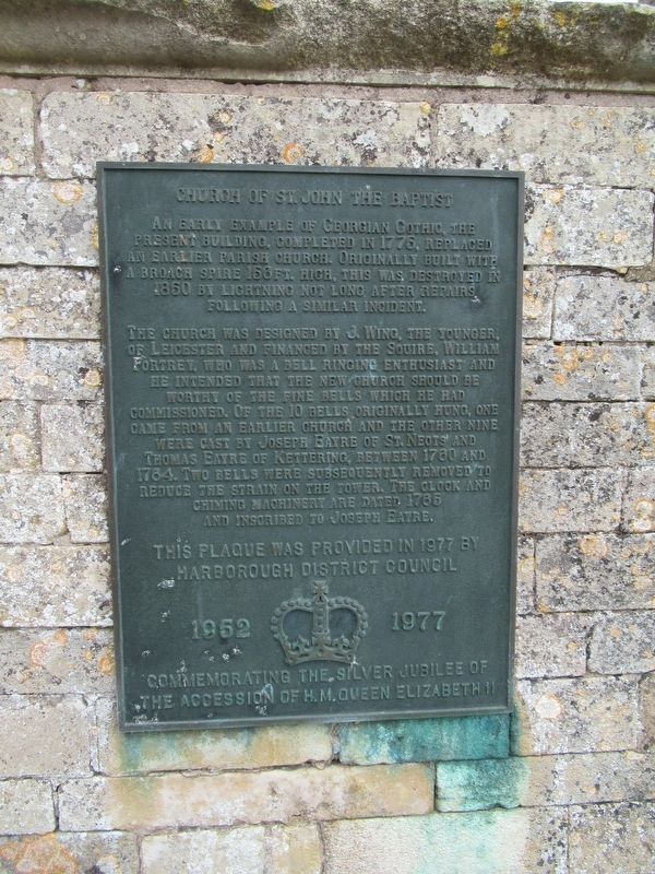
1. Church of St. John the Baptist Marker
The church was designed by J. Wing, the Younger of Leicester and financed by the squire, William Fortrey, who was a bell ringing enthusiast and he intended that the new church should be worthy of the fine bells which he had commissioned. Of the 10 bells originally hung, one came from an earlier church and the other nine were cast by Joseph Eayre of St. Neots and Thomas Eayre of Kettering, between 1760 and 1764. Two bells were subsequently removed to reduce the strain on the tower. The clock and chiming machinery are dated 1765 and inscribed to Joseph Eayre.
Marborough District Council
1952 1977
Commemorating the Silver Jubilee of
The Accession of H.M. Queen Elizabeth II
Erected 1977.
Topics. This historical marker is listed in this topic list: Religion & Religious Structures.
Location. 52° 35.872′ N,
this page online

Regionally, this marker is in England’s Midlands. Globally, it is on the Atlantic Ocean, in the North Atlantic Region, in Europe, in Atlantic Europe, on one of the British Isles, in the Western World, and in the Anglosphere. Historically, it finds itself in what was once the Roman Empire.
Other nearby markers. At least 8 other markers are within 11 kilometers of this marker, measured as the crow flies: Great Glen War Memorial (approx. 4.4 kilometers away); Thomas Cook (approx. 10.2 kilometers away); Thomas Cook Building (approx. 10.9 kilometers away); A Saxon House (approx. 10.9 kilometers away); Jain Centre (approx. 10.9 kilometers away); a different marker also named Jain Centre (approx. 10.9 kilometers away); Church of the Greyfriars (approx. 11 kilometers
Photographed by Michael Herrick, August 13, 2018
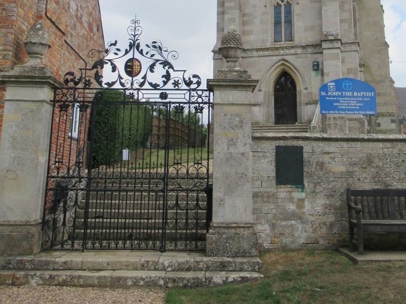
2. Church of St. John the Baptist Marker
Photographed by Michael Herrick, August 13, 2018
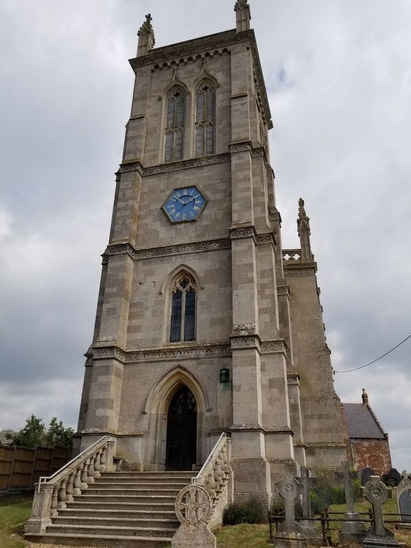
3. Church of St. John the Baptist
Credits. This page was last revised on September 1, 2023. It was originally submitted on October 19, 2018, by Michael Herrick of Southbury, Connecticut. This page has been viewed 341 times since then and 16 times this year. Photos: 1, 2, 3. submitted on October 19, 2018, by Michael Herrick of Southbury, Connecticut.
