Near Waubay in Day County, South Dakota — The American Midwest (Upper Plains)
A Room with a View
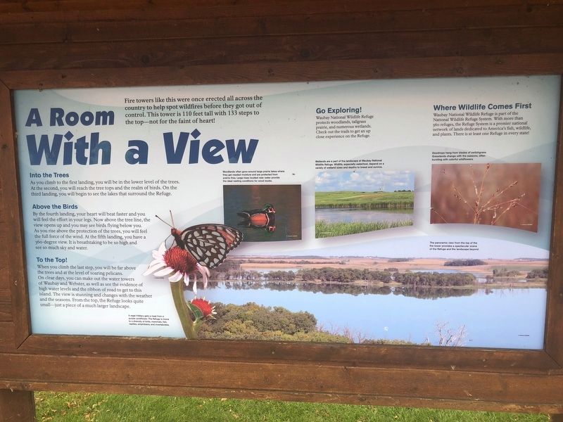
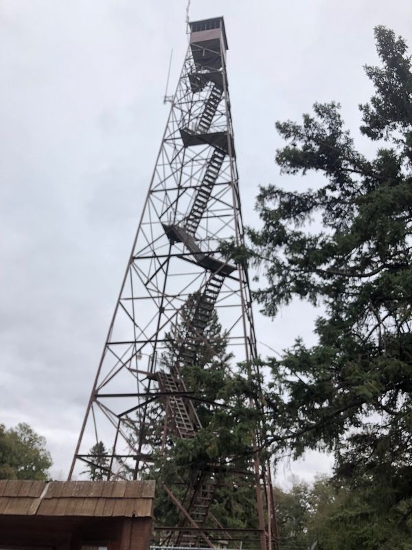
Fire towers like this were once erected all across the country to help spot wildfires before they got out of control. This tower is 110 feet tall with 133 steps to the top-not for the faint of heart!
Into the Trees
As you climb to the first landing, you will be in the lower level of the trees. At the second, you will reach the tree tips and the realm of birds. On the third landing, you will begin to see the lakes that surround the Refuge.
Picture Inset
Woodlands often grow around large prairie lakes where they get needed moisture and are protected from prairie fires. Large trees located near water provide the ideal nestling conditions for wood ducks.
Above the Birds
By the fourth landing, your heart will beat faster and you will feel the effort in your legs. Now above the tree line, the view opens up and you may see birds flying below your. As you frise above the protection of th e trees, you will feel the full force of the wind. At the fifth landing, you have a 360-degree view. It is breathtaking to be so high and see so much sky and water.
To the Top!
When you climb the last step, you will be far above the trees and at the level of soaring pelicans. On clear days, you can make out the water towers of Waubay and Webster, as well as see the evidence of high water levels and the ribbon of road to get to this island. The view is stunning and changes wit the weather and the seasons. From the top, the Refuge looks quite small-just a piece of a much larger landscape.
Picture Inset
A regal fritillary gets a meal from a purple coneflower. The Refuge is home to a diversity of birds, mammals, fish, reptiles, amphibians, and invertebrates.
Go Exploring!
Waubay National Wildlife Refuge protects woodlands, tallgrass prairie, and numerous wetlands. Check out the trails to get an up close experience on the Refuge.
Where Wildlife Comes First
Waubay National Wildlife Refuge is part of the National Wildlife Refuge System. With more than 560 refuges, the Refuge System is a premier national network of lands dedicated to America's fish, wildlife, and plants. There is at least one Refuge in every state!
Picture Inset
Dewdrops hang form blades of switchgrass. Grasslands change with the seasons, often bursting with colorful wildflowers.
Picture Inset
The panoramic view from the top of the fire tower provides a spectacular scene of the Refuge and the landscape beyond.
Erected by US Fish and Wildlife Service.
Topics. This historical marker is listed in these topic lists: Charity & Public Work • Horticulture & Forestry.
Location. 45° 25.526′ N, 97° 19.764′ W. Marker is near Waubay, South Dakota, in Day County. Marker is on Waubay Refuge Entrance Road. The marker is two miles over the causeway from the park entrance off 466th ave. Touch for map. Marker is in this post office area: Waubay SD 57273, United States of America. Touch for directions.
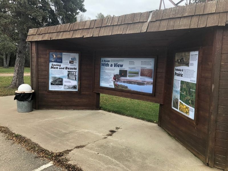
Other nearby markers. At least 8 other markers are within 9 miles of this marker, measured as the crow flies. Saving Men and Beasts (here, next to this marker); Potholes and Prairie (here, next to this marker); Waubay National Wildlife Refuge (about 800 feet away, measured in a direct line); Changes on the Land (approx. ¾ mile away); Waubay Wetland Management District (approx. 1.1 miles away); a different marker also named Waubay National Wildlife Refuge (approx. 1.1 miles away); Chief Bluedog (approx. 2.2 miles away); Roberts County / Day County South Dakota (approx. 8.1 miles away). Touch for a list and map of all markers in Waubay.
Credits. This page was last revised on October 23, 2018. It was originally submitted on October 22, 2018, by Ruth VanSteenwyk of Aberdeen, South Dakota. This page has been viewed 161 times since then and 11 times this year. Photos: 1, 2, 3, 4. submitted on October 22, 2018, by Ruth VanSteenwyk of Aberdeen, South Dakota. • Andrew Ruppenstein was the editor who published this page.


