Golden in Jefferson County, Colorado — The American Mountains (Southwest)
Cretaceous Time
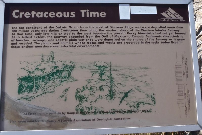
Photographed by Jackson Perrie, August 25, 2018
1. Cretaceous Time Marker
Erected by Friends of Dinosaur Ridge.
Topics. This historical marker is listed in this topic list: Paleontology.
Location. 39° 40.566′ N, 105° 11.639′ W. Marker is in Golden, Colorado, in Jefferson County. It can be reached from County Road 93. The marker is on the Dinosaur Ridge Trail which is a 1.1 mile wide paved section of West Alameda Parkway that is closed to traffic. This marker is found 450 yards
this page online

Regionally, this marker is in the Front Range. It is also in the American Mountain West. Globally, it is in North America, the Rocky Mountains, the Western Hemisphere, the Western World, and the Anglosphere. Historically, it finds itself in what was once the Louisiana Purchase.
Other nearby markers. At least 8 other markers are within walking distance of this marker: Volcanic Ash (about 600 feet away, measured in a direct line); The Rocky Mountains (about 600 feet away); Brontosaur Bulges (approx. 0.2 miles away); Rock Deformation (approx. 0.2 miles away); Morrison Fossil Area (approx. 0.2 miles away); Late Jurassic Time (approx. 0.2 miles away); Theropod Track (approx. 0.2 miles away); West Alameda Parkway/Dinosaur Ridge (approx. ¼ mile away). Touch for a list and map of all markers in Golden.
Also see . . .
1. Cretaceous Time. (Submitted on October 23, 2018, by Alan M. Perrie of Unionville, Connecticut.)
2. Dakota Group.
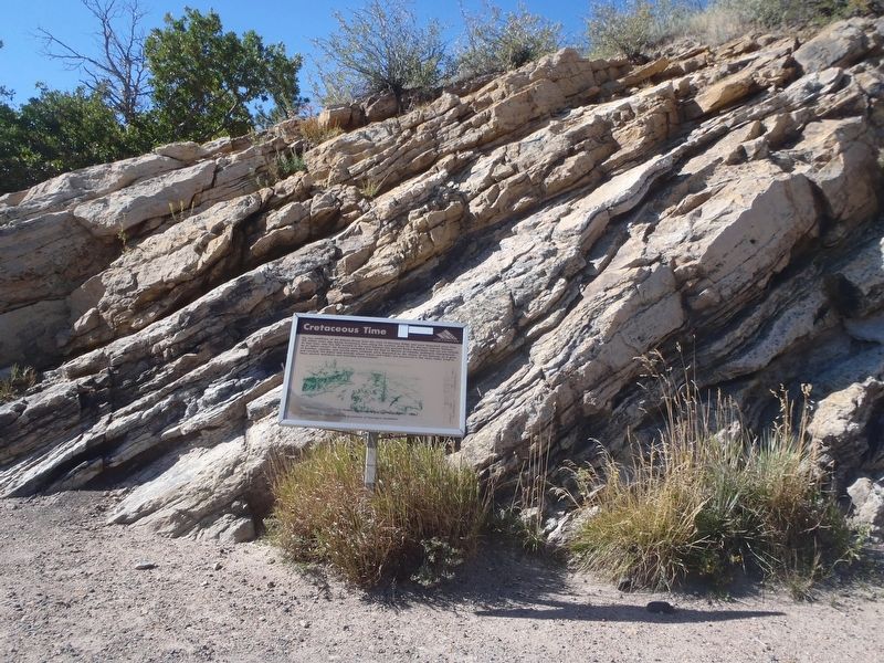
Photographed by Abigail Perrie, August 25, 2018
2. The 100 million year old sandstone of Dinosaur Ridge.
3. Western Interior Seaway. (Submitted on October 23, 2018, by Alan M. Perrie of Unionville, Connecticut.)
Credits. This page was last revised on February 8, 2026. It was originally submitted on October 23, 2018, by Alan M. Perrie of Unionville, Connecticut. This page has been viewed 396 times since then and 24 times this year. Photos: 1, 2. submitted on October 23, 2018, by Alan M. Perrie of Unionville, Connecticut. • Andrew Ruppenstein was the editor who published this page.
